
 |
 |
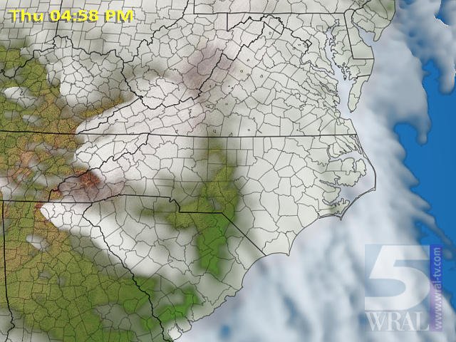 |
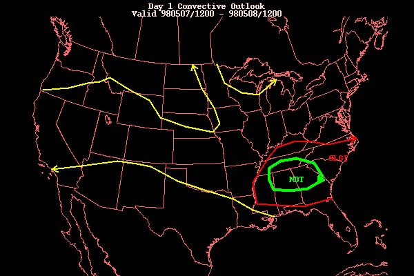
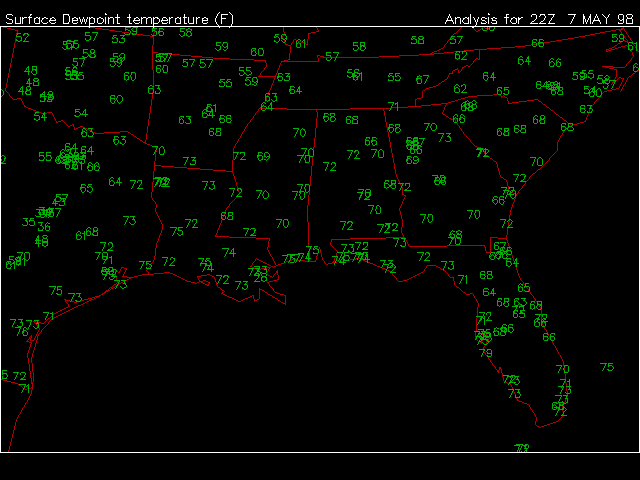
| The early morning Severe Weather Graphic from the Storm Prediction Center highlighted the correct area for an afternoon outbreak. | Dewpoints in the Southeast were no joke that day, ranging from 70 in SC to 79 in FL at 6pm. As the other ingredients for Severe Weather presented themselves in Northern GA and the surrounding area, the atmosphere exploded. | Regional Satellite from WRAL at 5pm shows the Supercells tops being blown downstream from the awesome storms. |
 |
||
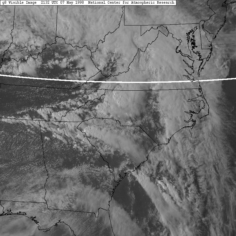
| Southeast Visible Satellite from 5:30pm Shows the Supercells. |