
 |
 |
 |
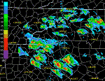
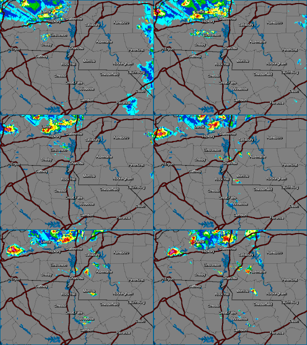
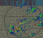
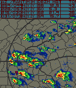
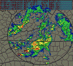
| Severe Supercell Storms Over GA & The Carolinas as seen by the GSP Nexrad 6:46 to 7:56pm | WSOC TV Doppler Radar Animation
Times Unknown |
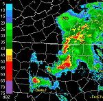
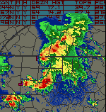
RDU Nexrad Animation - 6:53 to 8:32pm |
 |
 |
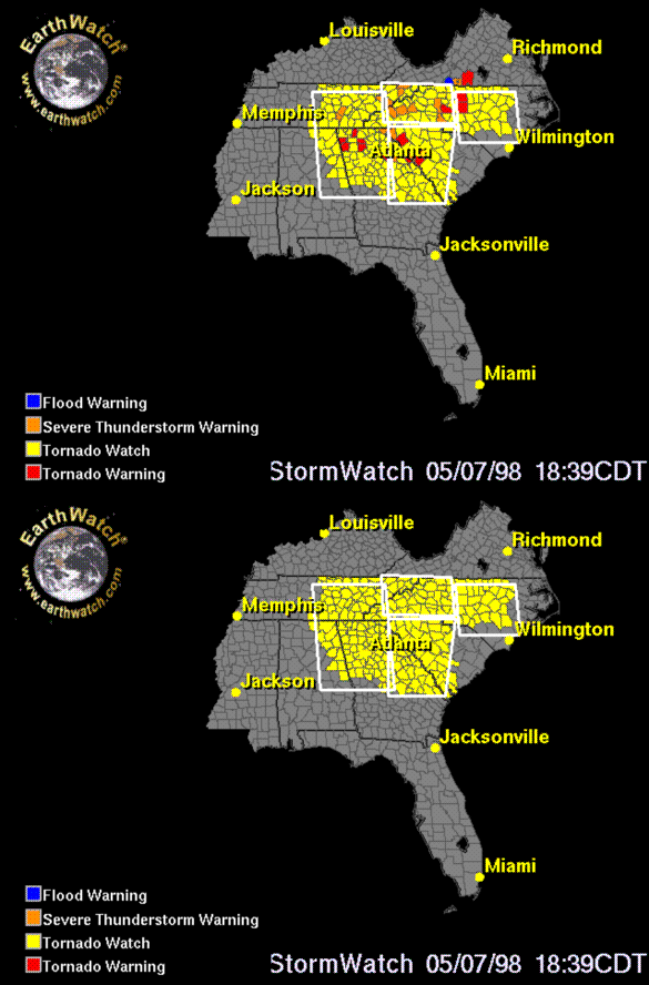 |
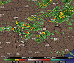
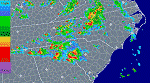
| Regional Radar From 2pm to 6pm Shows Development and Movement of Supercells | Regional Radar from 7:02 to 9:32pm that fateful night shows reforming Supercells | StormWatch (With Blinking Warnings) From 7:39 PM Shows 13 Tornado Warnings In Effect at Same Time |
 |
 |
 |
| See Complete Coverage of the Supercells from TRI (BR 0.5 + Storm Info Table) NEXRAD Radar 18:27 - 22:06Z | See Complete Coverage of the Supercells from GSP (BR 0.5 + Storm Info Table) NEXRAD Radar 18:30 to 02:07Z | ROA BR 0.5 + StormInfo Table 21:26 - 23:31Z Shows Supercells pull through northern NC including Winston-Salem (where they dropped the tornado) |
 |
 |
|
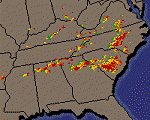
| Watch the NC Supercells tear through the northern part of the state and continue east through Raleigh. RDU BR 0.5 + Storm Info Table 21:06 - 02:09Z | Lightning Detection Animation - Southeast US for entire day 5/7/98 shows morning squall line and later development and movement of Supercells |