 |
 |
 |
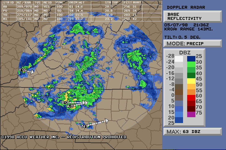
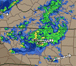
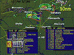
| 5:36pm, Local Nexrad From ROA's Storm Attributes
Table and Storm Movement shows 2 Large Cells, Max dbZ 63, one with
a Mesocyclone, headed to arrive in Winston-Salem in 60 minutes. |
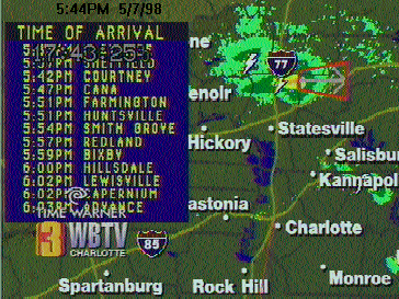
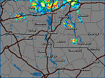
At 5:44pm, WBTV Charlotte's radar predicts
the path city by city of the Iredell county Supercell. |
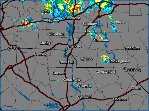
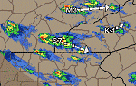
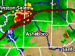
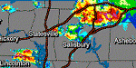
5:45pm, WSOC Charlotte's radar confirms the
Supercell over Iredell County and shows a strong cell near Morgantown. |
 |
 |
 |
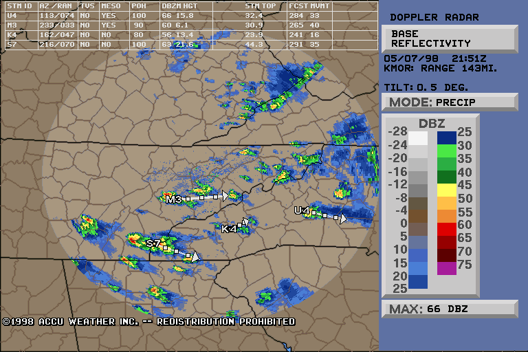
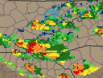
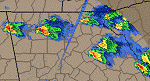
| 5:51pm, Further West We See Developing Supercells,
with two Mesocyclones and 66dbZ up to 15,800 feet. |
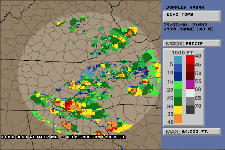
Same Time, Different Nexrad Product: Echo Tops
show Maximum tops of these supercells at 65,000 feet. Closer look at the
data shows that it may be incorrect, however even the correct data shows
Max tops at 45-50,000, these storms are doing pretty good for having
just formed. |
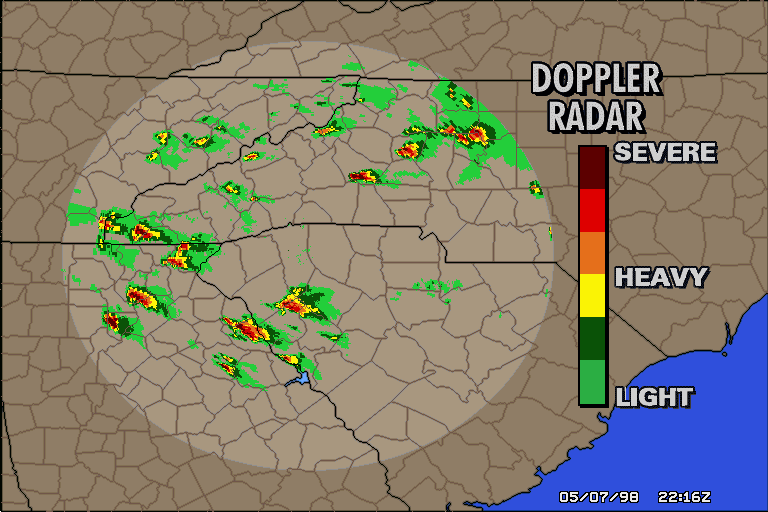
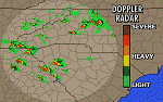
6:16pm. Even a 6-color radar depicts the numerous
Supercells well. |
 |
 |
 |
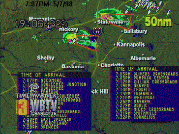
| At 7:07pm, WBTV Charlotte's radar shows two
Supercells in NC and their predicted movements. |
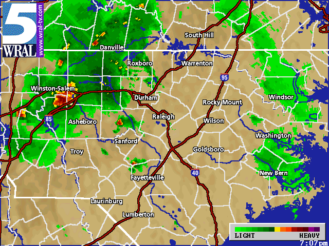
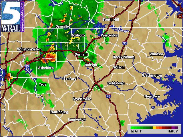
Same time, other side of the state. WRAL's
Doppler 5000 radar shows the storm just east of Winston-Salem which had
dropped a Tornado, as well as other cells in North Carolina. |
7:12pm, WSOC Charlotte's radar depicts the
heavy storms nearby. |
 |
 |
 |
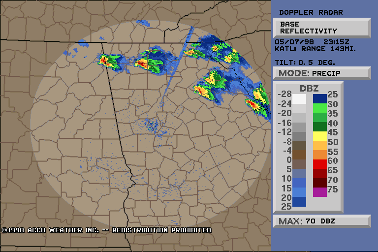
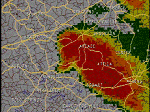
| 7:15pm - Atlanta Nexrad shows beautiful
Supercells at 70dbZ in Northern GA |
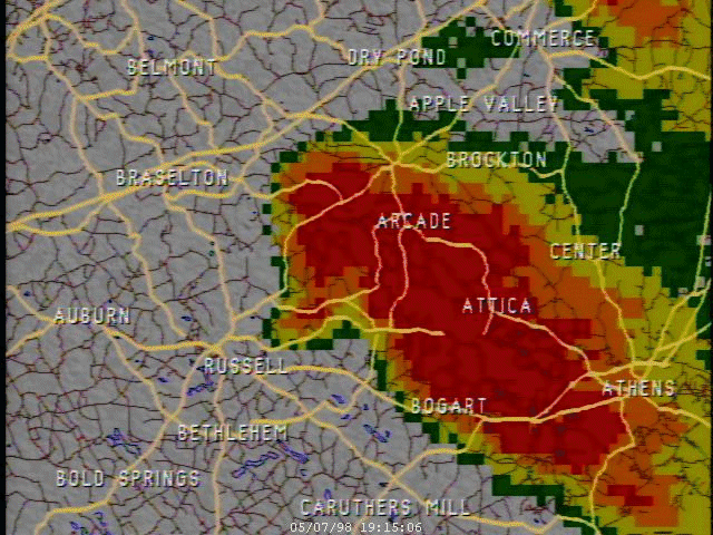
Closeup of GA Supercell from a TV Station
in GA 7:15pm |
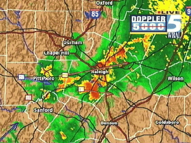
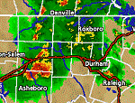
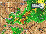
WRAL's Doppler 5000 shows Large Cell
approaching the Triangle as a smaller cell moves over Metro Raleigh at
7:51pm |
 |
 |
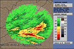 |
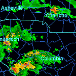
| 8:15pm - Columbia Nexrad shows Severe Thunderstorms
move through Western SC and NC |
WRAL Doppler 5000, unknown time, shows Heavy
Cells moving through Downtown Raleigh |
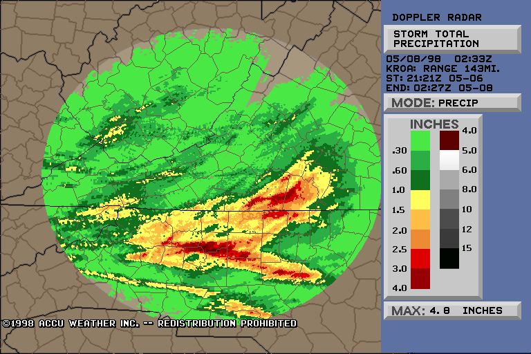
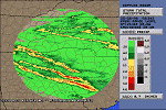
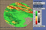
ROA's Nexrad Storm Total Precip Traces the
path of the Supercell that tore through Winston-Salem on its way to Raleigh.
The storm dumped up to 4.8 inches of rain on Central Carolina. |
 |
 |
 |
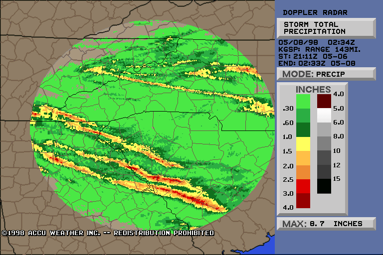
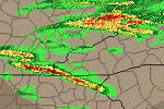
| GSP Storm Total Beautifully Tracks the Paths
Of the Severe Storms through Northern GA and South Carolina. Max on
the graphic is incorrect; however over 4" of rain did fall from these storms. |
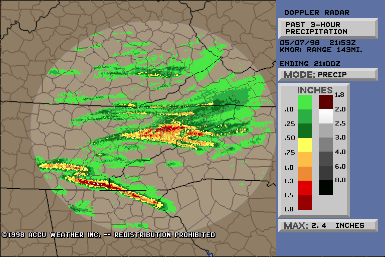
TRI (Morristown TN)'s 3-Hour Precip ending
at 5pm shows 2.4" of rain from the first Supercells that formed
that day. It is easy to follow the track of the severe storm that went
from TN in to SC. |
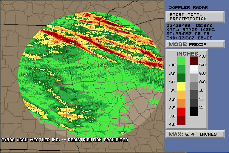
Where did the storms in Northern GA go? It's
easy to see with ATL's Storm Total Precip image, which claims a whopping
6.4" of rain fell from the huge NW GA Supercell. |