 |
 |
 |
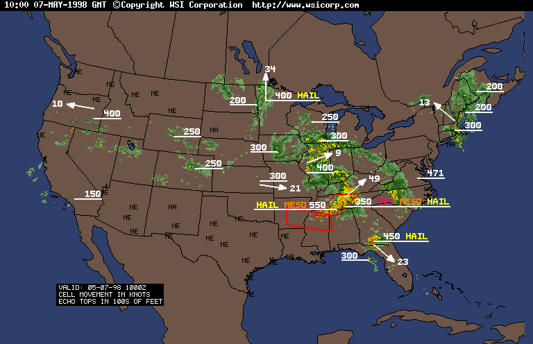
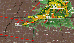
| Early Morning (6am) US Radar Summary Already
Has a TVS Over AL/TN Line. This group of storms would move through
the area in question with the Supercells developing behind it. Two Tornado
Watches have already been issued. |
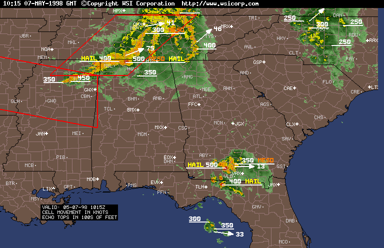
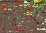
Regional Radar Summary Closeup 6:15am Shows
50,000 Foot Cell in N. Alabama |
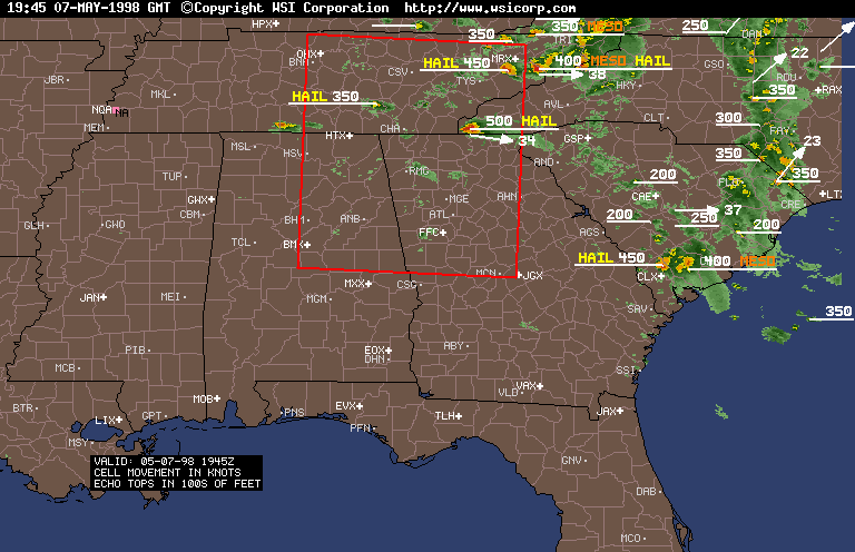
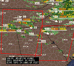
Regional Radar Summary 3:45pm Shows Action
Starting Up with Supercells in Western NC and NE TN. New Tornado
Watch encompasses expected area of Supercell formation. |
 |
 |
 |
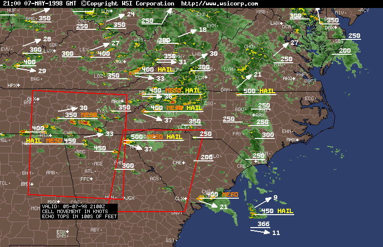
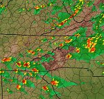
| Radar Summary at 5pm Shows That Supercells
have Formed over SE TN and N GA. This area will continue to produce
supercells into the late evening. An additional Tornado Watch has
been issued to cover the movement of these storms to the E and SE. Heavy
Thunderstorm in NW NC. |
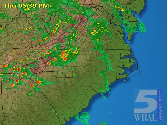
Regional Radar at 5:39pm.Classic
Supercells crawl across NC, SE TN, NE GA, and begin to move into South
Carolina. This is what chasers and spotters in the Southeast live for.
I will forever regret leaving the South. |
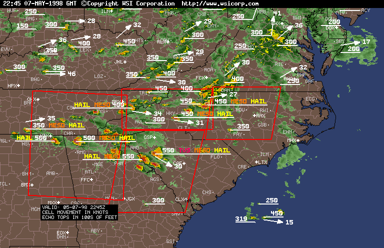
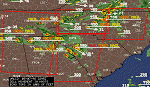
6:45pm. Numerous Severe Supercells cover
North GA, East TN, Northeast AL, and Western NC. These storms are no joke.
The storm exiting Winston-Salem in NC has just dropped an F3 tornado.
TVS over upstate SC. Echo tops are all 45-50,000 feet. This is about
as exciting as it gets in the South. Two additional Tornado Watches
have been issued to cover the NEward progression of these dangerous supercells. |
 |
 |
 |
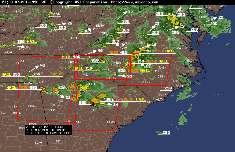
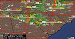
| 7:30pm. New Supercells continuing to form over
the SE. TVS in GA and SC simultaneously. Huge 60,000 foot Supercell
over North GA. |
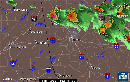
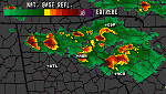
TWC Regional Radar details two Huge Supercells
on either side of I-75 North of Atlanta. 7:52pm. |
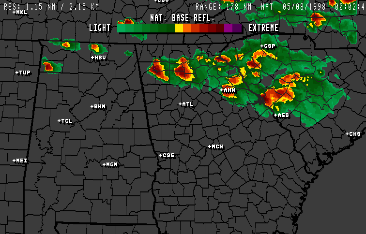
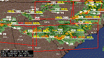
WeatherPoint Radar Beautifully Depicts Supercells
across GA, SC, NC at 8:02pm. These storms are very severe. |
 |
 |
|
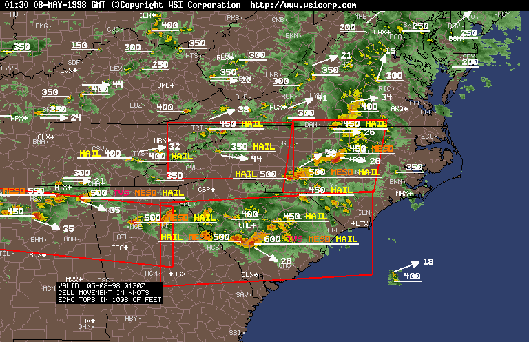
| 9:30pm Radar Summary shows a 60,000 Foot
Supercell with TVS in SC and another TVS in AL. The Supercell
which produced the tornado earlier now approaches the Raleigh area. |
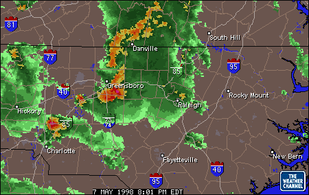
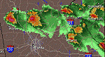
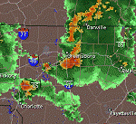
TWC Radar for Raleigh shows the Severe Thunderstorm
which produced the tornado near Winston-Salem tearing through Greensboro
at 8:01pm. |
|