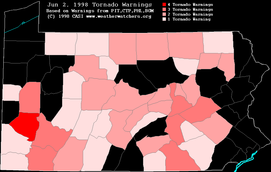
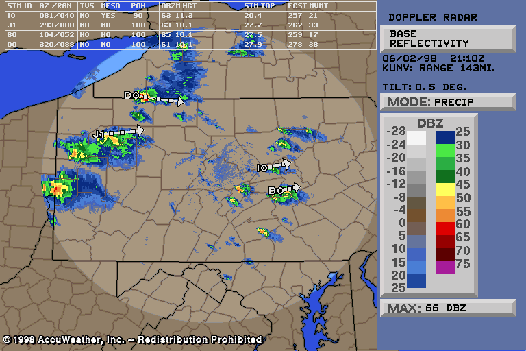
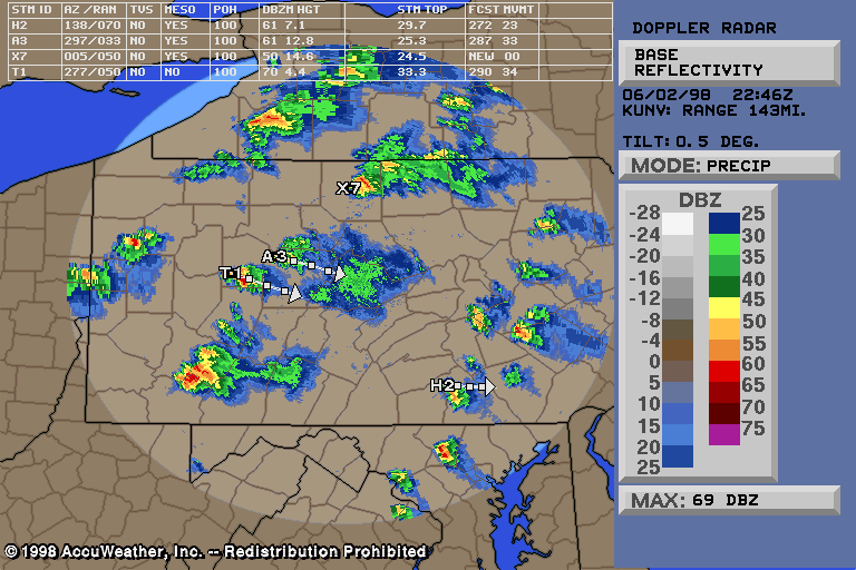
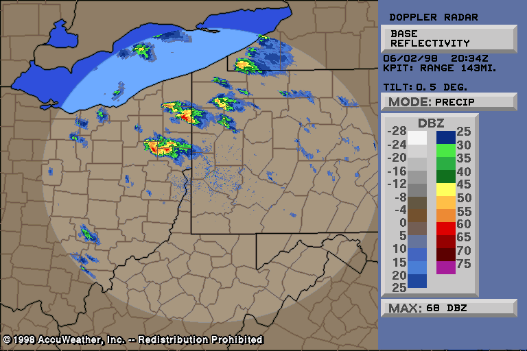
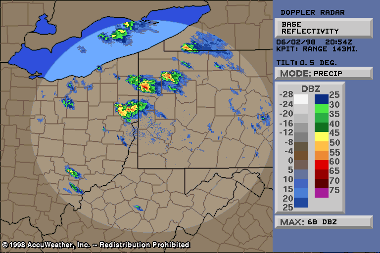
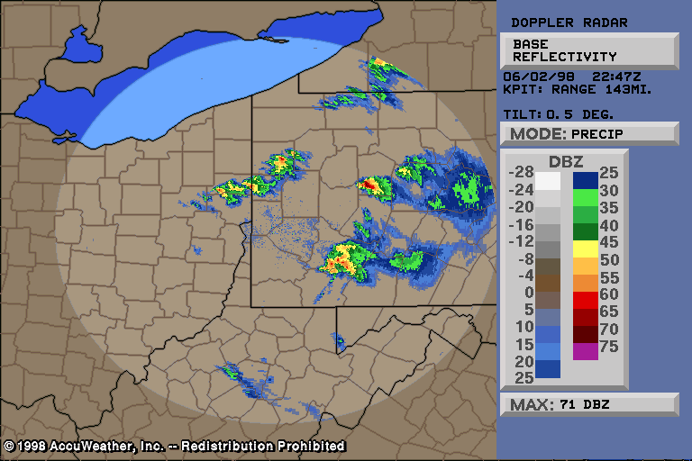
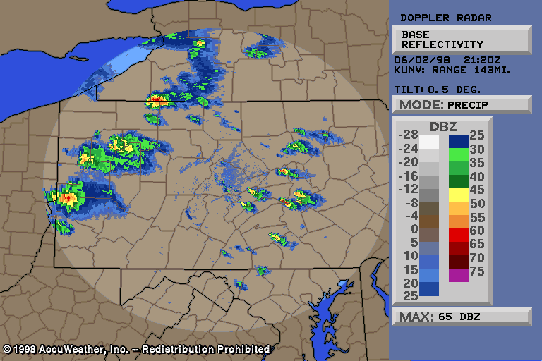
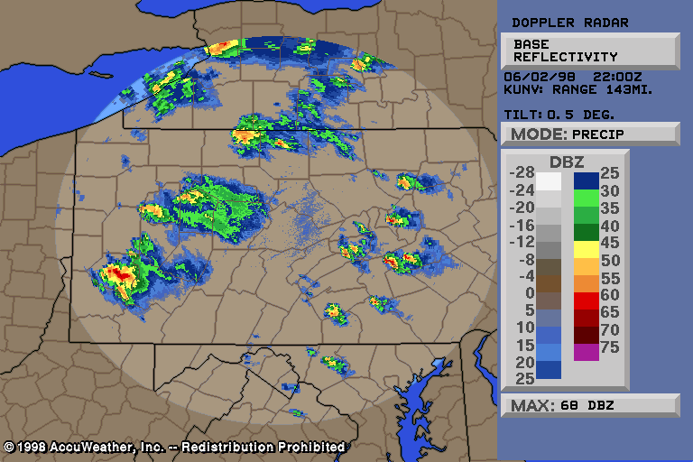
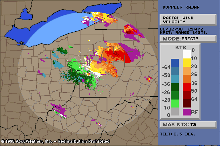
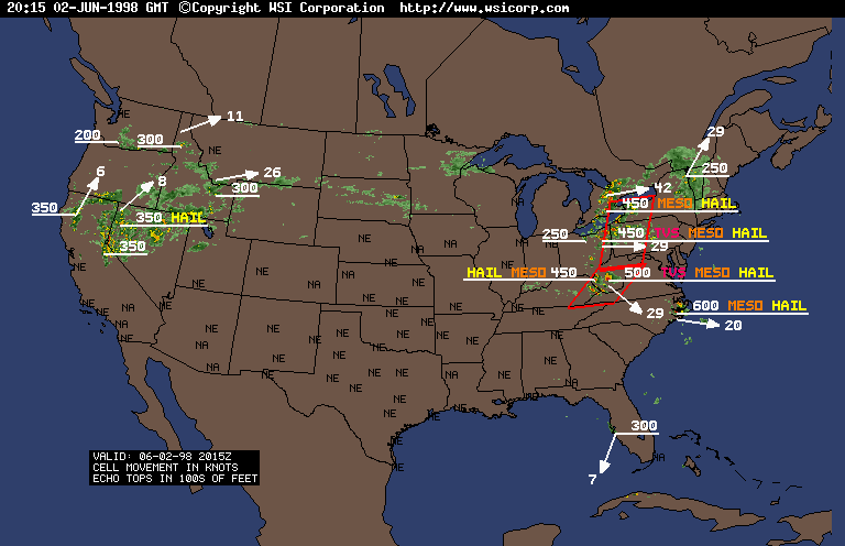
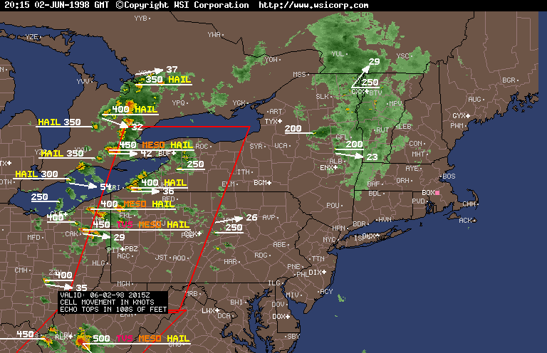
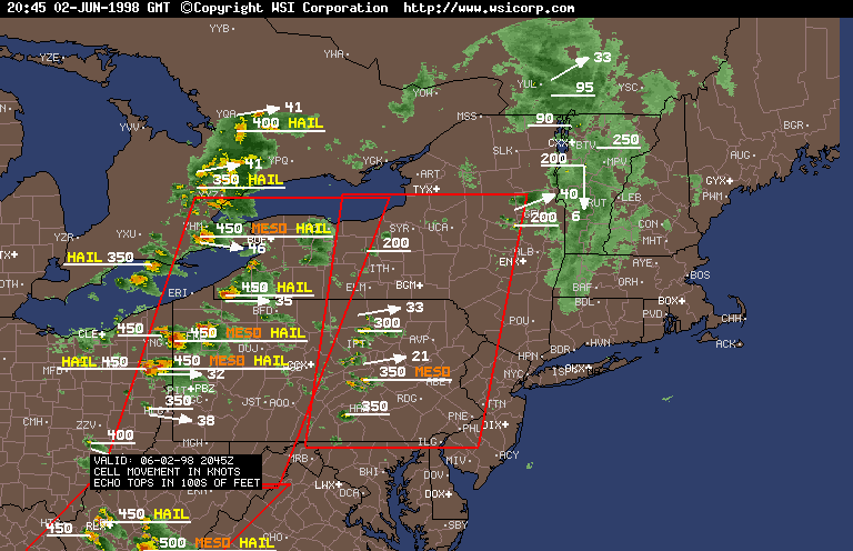
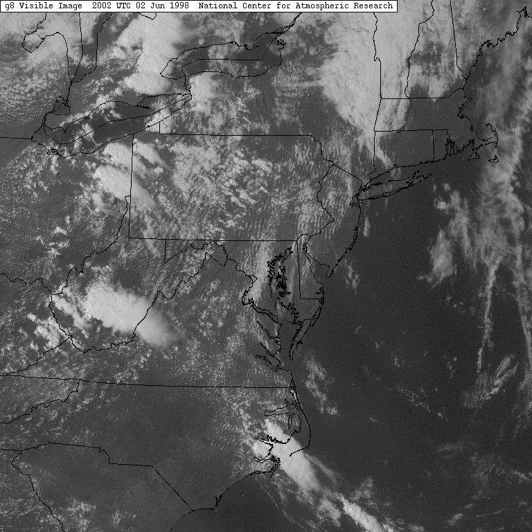
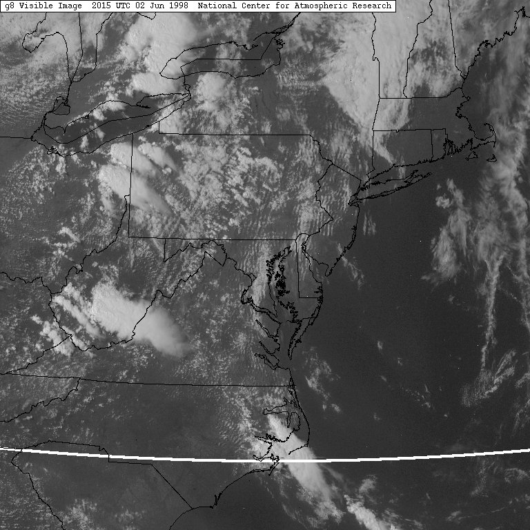
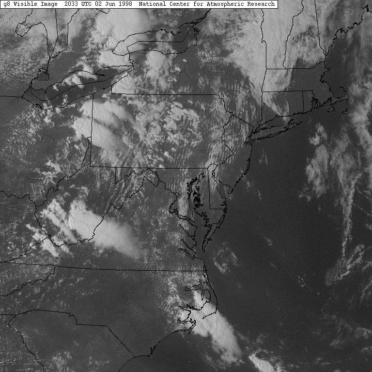
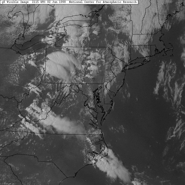
An absolutely Huge severe weather outbreak with Severe Thunderstorms and Tornadoes tore through PA and the surrounding area on Jun 2, 1998. It resulted from the same storm system that spawned the Spencer, SD Tornado. Huge for PA indeed. In fact, PA caught the "northern flu" as people, not used to seeing severe weather, reported tornadoes all over the place, and it was very hard to discern where the real ones were. That was a minus for chasing, but a plus was good visibility and a lot of supercells. Another minus appeared to be the NWS Forecasts of the movement of some of the storms (see dissertation here).
An F4 tornado devestated an area from Somerset PA to Frostburg MD at around 9pm. Across the rest of the state there were a number of F0's and F1's.
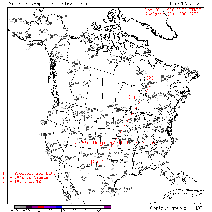
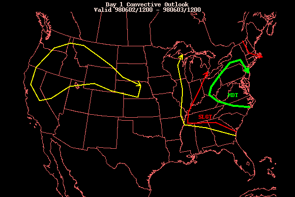
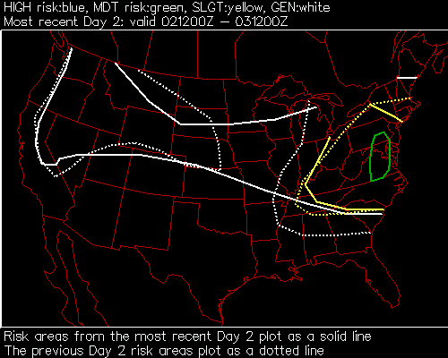
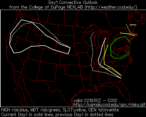
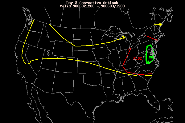
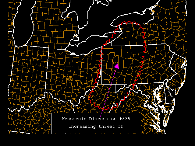
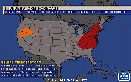
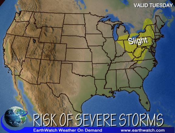
The storm was expected, but not expected to be as widespread. A severe temperature gradient continued to cause severe weather on the boundary line, aided by a strong jet stream. The SPC had issued a Moderate Risk (text/graphic) for all of PA the night before, indicating that the severe weather would be further south this time than the outbreak 2 days before that had caused multiple tornadoes in New York State. They hit it head on as Severe Weather moved through NY, PA, and MD throughout the afternoon and evening.
Severe
Weather Outlooks For That Day:
Severe Thunderstorm and Tornado Warnings:
Weather
Graphics / Animations (eastern time):
| BR - Base Reflectivity BV - Base Velocity CR - Composite Reflectivity |
Local NEXRAD Animations:
Local NEXRAD Products:
Regional NEXRAD Images:
Lightning Detection Products:
Other Weather Graphics: