Member Storm Report

| Member Name | Date | Time | Location | City | State | Event | Detail |
| Bud Younke | 6/2/1998 | PA | Thunderstorm | Multiple | |||
| Wall Cloud | |||||||
| Funnel Cloud | |||||||
| Lightning | Lots | ||||||
| Rain | Heavy |

| Well things FINALLY worked out on our evening chase of 6/2/98
almost seemed to be a more active weather pattern than Sunday evening
had been in our area. A quick breakdown of the chase follows. Watched
the cells building to our west during the afternoon from work, sometime
around 4 PM the first warnings for western PA and down East (York Berks
county areas) went out. Me I'm stuck till 6:00PM 6:00PM grab the latest
radar and watch the storm movement. Not sure which cells to go for, the
southern seem to be the most active, with some 70dbz echoes over the
Pittsburgh area! Almost looks like it is going to cut too far south too
soon. Decide on the cells northwest of Dubois which are slowing a bit,
they are heading East/Southeast at about 36 knots. These seem
reasonable. Call my son, tell him to meet me at the ex wife's. He was
just trying to call me... 6:20 Arrive in Bellmeade, video on KDKA TV2
from Pittsburgh of the touchdown on Mt Washington, nasty place, very
heavily populated. Warns are up for a TVS northwest of Dubois, that's
our cell, also Westmoreland county to the southwest is coming under the
gun. 6:40 After some quick map checks, we are Northbound on I-99
approaching Bellwood, off to the North the sky is starting to look a bit
meaner.. 7:00 PM Stop at the Snappy's in Bald Eagle PA to top off the
fuel. Brian makes a quick call to his mother for any updated warnings,
still in the Dubois area and getting better, heading our way. We leave
Bald Eagle heading toward Philipsburg on PA 350 7:05 Tor warn goes up
for Northern Indiana county. TVS southeast of DuBois, or storm continues
to cooperate. 7:15 Tor warn goes up for Blair Cambria Counties. We've
just gone through Sandy ridge and are staring at some impressive towers
dead ahead, lot's of C-G strokes, but this couldn't be the warn for
Blair. 7:20 Finally get out from the trees that have been on our left
tight to the hiway, a bit disconcerting not being able to se that way,
particularly when we see the storm base, this has too be the cell,
Prince Gallitzin State Park at 7;25, Bellwood 7:40, Tyrone 7;50
according to the warn. This HAS to be the cell 7:25, Decide to go after
the Blair cell since I know the roads much better that way, Grab PA 53
South in Phillipsburg heading for Houtzdale. Stop and grab some stills
of the backside of the towers on the storm that had been directly in
front of us. Pretty impressive heights! 7:35 Still 2-3 miles from
Houtzdale see what appear to be some inflow bands 7:40 Just inside
Houtzdale, see what appears to be a wall cloud 3-4 miles ahead,
generally to our west. Grab PA 153 south out of Houtzdale toward Viola
and Glasgow heading more southwest, figure we can get a look at the wall
cloud from there First warn on a TVS for center county goes up, think
this is the cell we saw previously and shot the backside of the towers.
7:42 Break out on the first hill, have been in light to moderate rain
for 7 - 8 minutes. Can see the wall cloud still a couple miles to our
w-sw, Have a fairly good vantage point from here 7:44 Brian observes we
are sitting next to the sign for the Houtzdale Correctional institution
( state pen:<G>)Decide this is not a good place to sit for any
extended period without having to explain our presence, head S on 153
again 7:50 Trees have blocked the view to our right. Brian has done an
admirable job filming 50 mph tree tops as we drive. Rain has become
heavy, afraid we may end up in the hail shaft.... Topping out the next
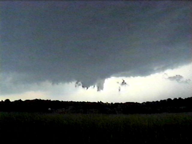
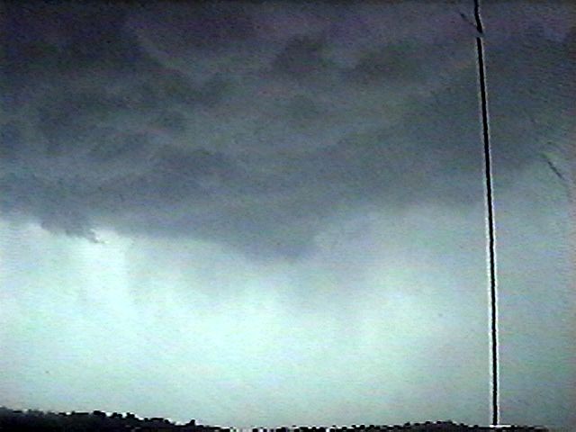
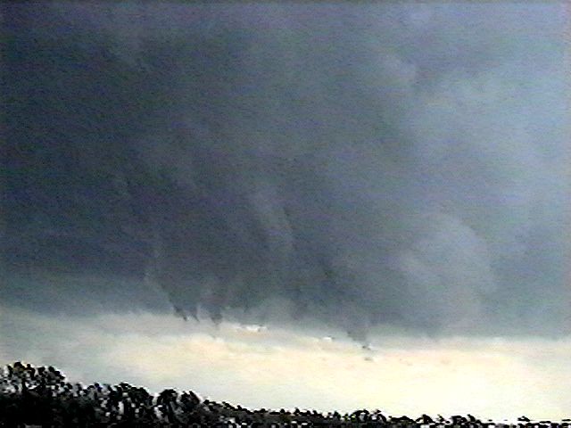
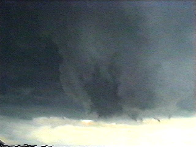
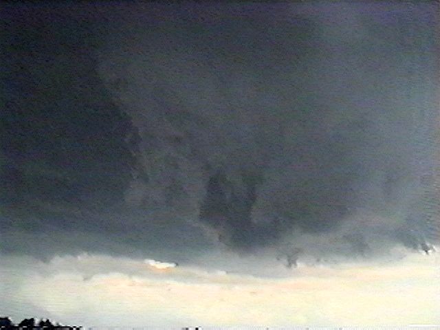
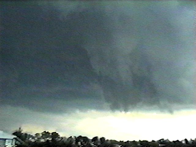
ridge we meet our wall cloud, Actually we can't miss it, the %%#!@ thing
is practically over our heads! About a mile in front is some rotation,
absolutely beautiful beast, the video doesn't do it justice. See at
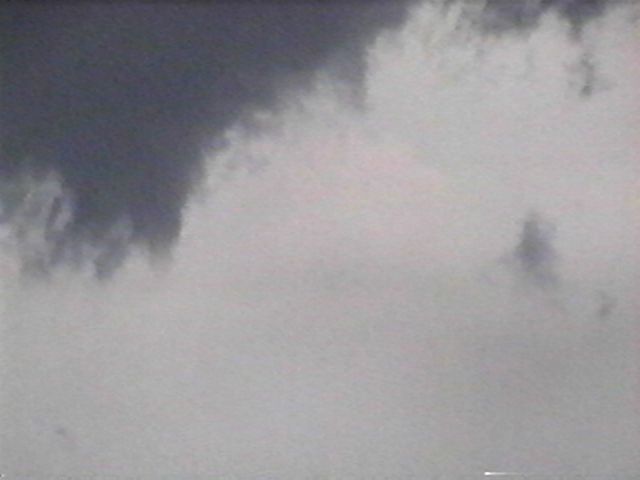
least one, possibly as many as three funnels start to drop then lift.
Swirling rain or hail bands are visible behind the main rotation 7:55
Rotation seems to stop, where there had been good inflow and increasing
rotation Now almost nothing. The entire wall cloud is still lazily
spinning but the area the funnels were dropping is disappearing. We back
into a side road across the road to give us a better angle of retreat,
precip has all but stopped, we're looking.. 7:57: New area of increased
rotation in the wall cloud and a definite lowering Feel much safer now
as the first area of rotation passed about a mile to our south, this one
tho is spinning up about 1000 yds to our east. General storm movement is
to the east so we stay , but cautiously, no other threatening areas and
we have good roads to run if need be.. 8:00 Rotation is picking up and
the inflow is starting to really kick, a lot of scud working in and
joining the lowering. Looking absolutely lovely. If I may digress here,
the video leaves a lot to be desired, this is the first time I've seen a
wall cloud with this kind of Rotation. The big picture, without looking
through the viewfinder was just awe inspiring, a tad frightening too...
8:03 Brian sees the first hail, a hasty retreat to get the car under
some trees and the hail quits, 8:05 Back to where we can see and it's
gone, quicker than it cam.. the wall cloud has lost it's rotation, the
lowering is gone, the scud all sucked up into the base and the whole
thing is turning to typically soupy evening thunderstorm. 8:15 Back in
Houtzdale hail up to a quarter covers the ground, on roofs, in the
gutters, looks almost like snow. At least we missed the hail shaft.
Heading North now on 53. A couple locals in Houtzdale say they heard of
two funnel clouds near Tyrone. Brian and I grab a coffee at Uni Mart and
off. Back on 53 north this time to look for a possible damage path, In
Osceola Mills grab 970 to Sandy Ridge . Approx 1.5 miles from the
intersection of 350 and 970 we find a large tree down. Even though it
was maybe 20 inces in dia. Where it snapped it was also rotted out <G>
there was some siggn of hail damage though. 8:40 Back on Sandy Ridge
summit on 350, another cell is approaching from the NW lots of CG and CC
lightening and scud clouds rushing east, can't see anything organized.
Watch for several minutes then decide it''s getting dark, time to get
off the mountain. Head South on 350 9:00 Back in Bald Eagle at Snappy's
talk to a couple locals, Brian calls his mother again for an update. She
saw one of the funnels near Tyrone about 8:00 no touchdown. Locals are
talking about two funnels also. 9:03 on my way out of the Snappy's men's
room another warn, this one for Centre county again, head North on 220,
we seem to be on the southwest corner of the storm, some nice cg's but
no sign of the wall cloud or any rotation 9:10 too dark to safely
continue. Leave this one for J when it gets into State College. Approx 3
miles north of Bald Eagle. 9:45 back in Altoona to watch the video!
Final score, two or possibly three wall clouds, one for sure!! Some nice
video of a more impresssive event when viewed live! A couple of small
funnels, and one area of rotation that almost made it to the
ground...(maybe next time.) Total travel approx 90 miles We stopped at
Citizen's fire Station in Tyrone to inquire about the funnels, they said
they had no confirmation of any touch downs... Ready to go again! Bud
ALL PICTURES BELOW ©1998 BUD YOUNKE |
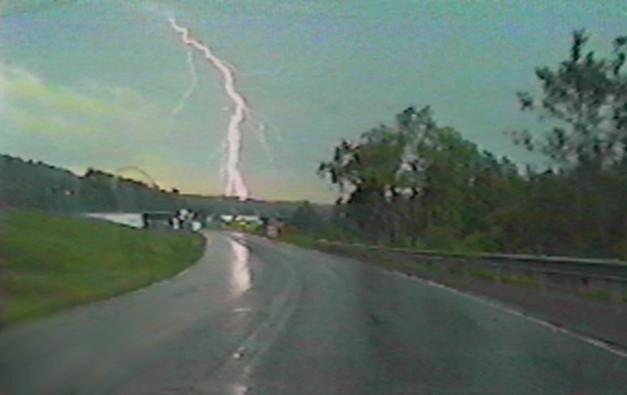
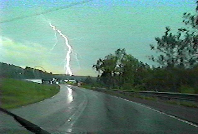 Lightning Strike on RT 53 Approx. 1 Mile North of Houtzdale (Part #1) (Large Version) |
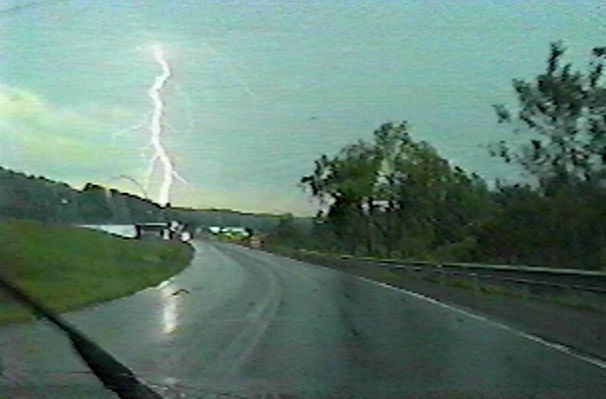 (Part #2) |
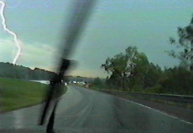 (Part #3!) |
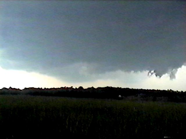 Wall
Cloud On 153 Approx. 4 Mi. SSW Of Houtzdale (Pics Continued...) |
 |
 |
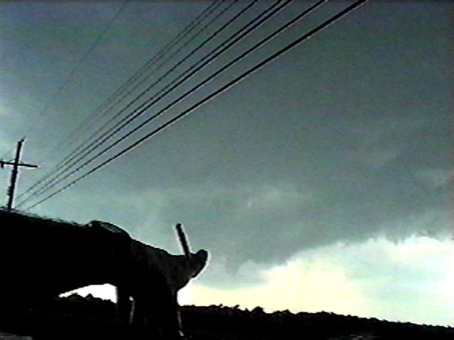 Bud Points Out Where Funnel WIll Form |
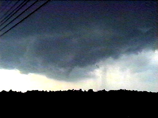 And it does! |
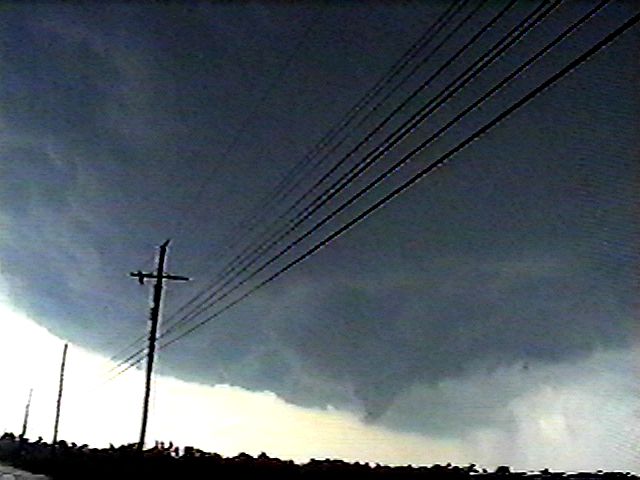 Shot Of Entire System With Funnel. Remember, This IS PA! |
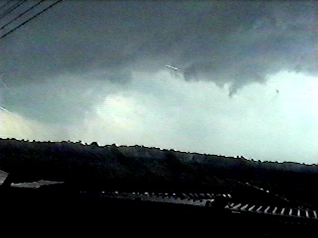 Funnel Never "Takes" ; Rain Drives Us Back In The Car, More Wall Cloud, Extensions, Scud |
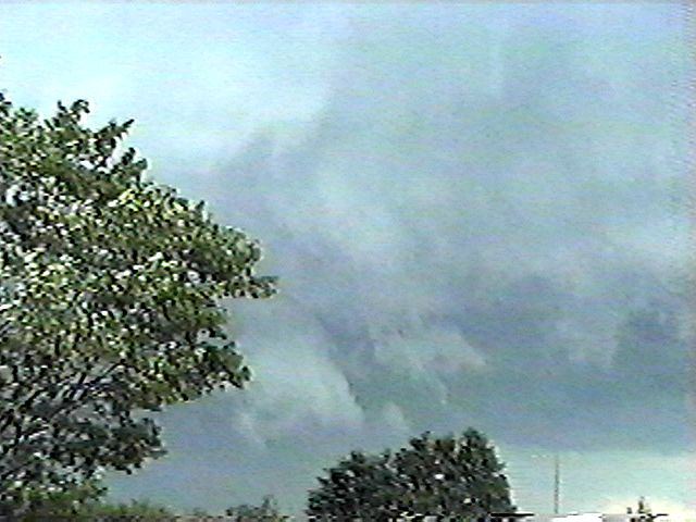
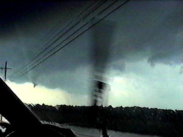 More Lowerings and Scud |
 |
 |
 |
 |
 |
 |
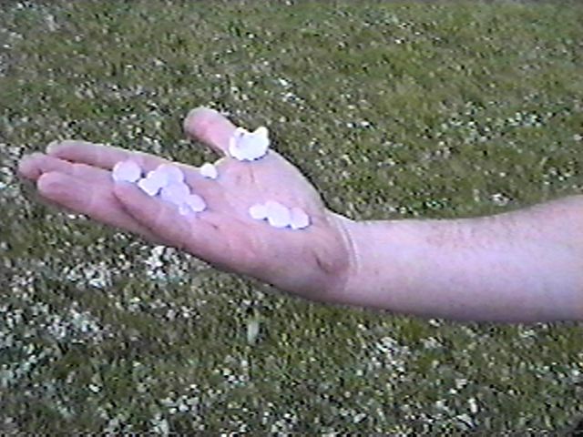 Dowtown Houtzdale At 153/53 Int. |