HandheldWeather.com by WeatherMatrix
© 2002 WeatherMatrix.Net - Redistribution Prohibited. Usage logged.
HandheldWeather.com by
WeatherMatrix
© 2002 WeatherMatrix.Net - Redistribution
Prohibited. Usage logged.
From: Jesse Ferrell (WeatherMatrix) (jesse{at}weathermatrix.net)
Date: Sun Sep 01 2002 - 06:29:15 EDT
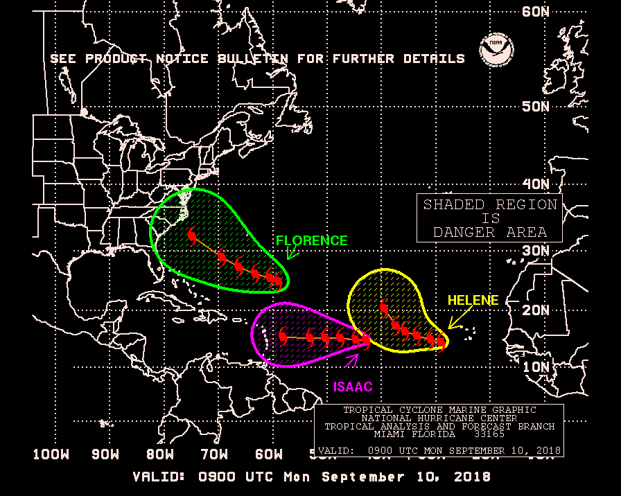
NHC DANGER CHART POINTS OUT LOCATION
http://www.nhc.noaa.gov/tafb/danger_atl_09.gif
NASA VISIBLE SATELLITE ANIMATION
http://wwwghcc.msfc.nasa.gov/cgi-bin/get-goes?satellite=GOES-8%20HURRICANE&lat=27&lon=-76&zoom=1&map=standard&info=vis&palette=ir.pal&mapcolor=black&quality=85&width=800&height=600&type=Animation&numframes=12
NHC Statement:
"SATELLITE IMAGERY AND MELBOURNE RADAR SHOWS AN AREA OF THUNDERSTORMS
IN ASSOCIATION WITH A BROAD LOW PRESSURE AREA CENTERED ABOUT 100
MILES NORTH OF THE NORTHERNMOST BAHAMA ISLANDS. A TROPICAL
DEPRESSION MAY BE FORMING AND A RECONNAISSANCE AIRCRAFT IS SCHEDULED
TO INVESTIGATE LATER THIS MORNING. THIS SYSTEM IS MOVING TOWARD THE
WEST-NORTHWEST AT ABOUT 10 MPH. INTERESTS ALONG THE SOUTHEASTERN
COAST OF THE UNITED STATES SHOULD MONITOR THE PROGRESS OF THIS
SYSTEM."
http://www.weathermatrix.net/tropical/2002/
Joe Bastardi:
"The recon flying into the system I have dubbed as "caddyshack" has found a
large area of light winds but no low level center. Obviously the upper
outflow is established and it appears arcing bands are developing. The
surface map and upper map look right. But until the low level center is
established, then we cant say for sure. However once established, it can
develop quickly on its way northwest. Steering currents fall apart by Labor
day and it may be like pulling teeth getting it ashore if it does develop
and so we may be looking at some ugly stuff here as far as forecasting this
goes, providing the runup starts."
http://www.accuweather.com/adcbin/news_index.asp?nav=meteo&type=jbs&partner=6037
Larry Cosgrove:
"There is a growing chance that a tropical depression is forming over the
Gulf Stream to the immediate north of the Bahamas. While it is doubtful
that this system will reach anything above tropical storm status,
complications loom if landfall is made. Note the moisture axis along the
Eastern Seaboard. This corridor presents a track option if the warm-core
low reaches the coast of the Carolinas, as forecasted by the GEM version.
So after the current gale center passes on to the north, a possible
scenario would have the disturbance move up along the coastline from NC
into CT (to the right of the upper weakness). This being a feature with
origins in the Sargasso Sea (convective cluster that sprang up above the
TUTT signature there yesterday), the possibility exists for tremendous
rainfall rates along the storm track."
http://hometown.aol.com/wxamerica/prof.index.html
At 05:43 PM 8/31/2002 -0400, you wrote:
> >REPORTS FROM AN AIR FORCE RESERVE HURRICANE HUNTER AIRCRAFT
> >INDICATE THAT A BROAD LOW PRESSURE AREA HAS FORMED IN THE AREA
> >OF DISTURBED WEATHER CENTERED ABOUT 150 MILES NORTHEAST OF THE
> >NORTHERN BAHAMAS.
-- ==================================================== Jesse Ferrell - Meteorologist & Internet Developer - WeatherMatrix 4000 Weather Enthusiasts Can't Be Wrong! www.weathermatrix.net[Non-text portions of this message have been removed]
==================================================================== StormReports Email List -- TO UNSUBSCRIBE, EMAIL A BLANK MESSAGE TO: stormreports-unsubscribe{at}wxmatrix-membersonly ; For Options Including 1 Per Day, Temporary Suspending, And More, Visit This Web Address: http://wxmatrix-membersonly/group/stormreports/join
Thank you for using HandheldWeather.com's Handheld / PDA / Palm Content