
Central Atlantic
Storm Investigators
Central Atlantic
Storm Investigators
Severe Thunderstorms
May 1, 1997
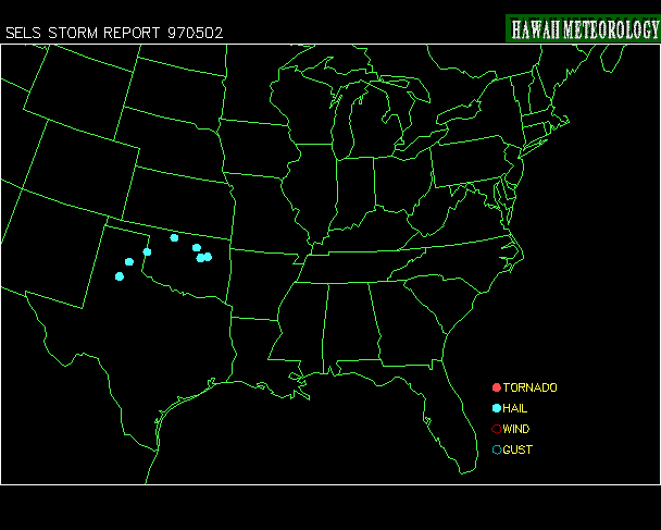
Post Storm Investigation (PSI)
The first part of the PSI for this system trailed off of the LSI; when in Apex, NC, on an LSI, we decided to head into Wilson County, NC, where the NWS reported tree damage from a Severe Thunderstorm (Supercell) which moved through while we were still in Raleigh on the LSI.
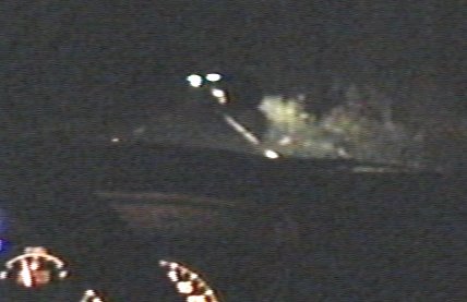
Unfortunately we arrived at the damage area after dark, and were unable to obtain photo evidence of more than leaves in the road, a few branches, and the top half of one tree in the road (see picture).
The second part of the PSI for these storms involved rewatching the LSI videotape for video captures and collecting weather maps downloaded during the storm.
SUMMARY:
The synoptic situation involved an approaching front (see surface map below) and a rare NC dryline (see surface contour below). Dewpoints were in the 50's in most of the state in the morning but a sharp contrast developed in mid-afternoon, with a range of 22 to 65 across SC by 9pm. The first storm to develop began around 1pm in northern NC and moved NE into VA, turning into an extremely severe storm with radar reported hail of over 2.5" and various mesocyclones (db was 72; see pictures below).

Unfortunately the Raleigh radar was out for service as the heaviest storms were approaching the city, but was back by the time our LSI began.
Unfortunately our LSI didn't catch that one, but it did the next as it came into North Raleigh. This one was declared a Supercell by the NWS as it left Raleigh and caused considerable wind damage in Wilson Co., NC near 6pm.
Below are some weather maps relating to the event (Click on each for the full-scale picture!):
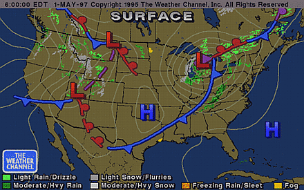
Surface Synopsis 6AM: Front on the Move |
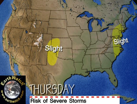
Earthwatch Severe Risk in the Right Place |
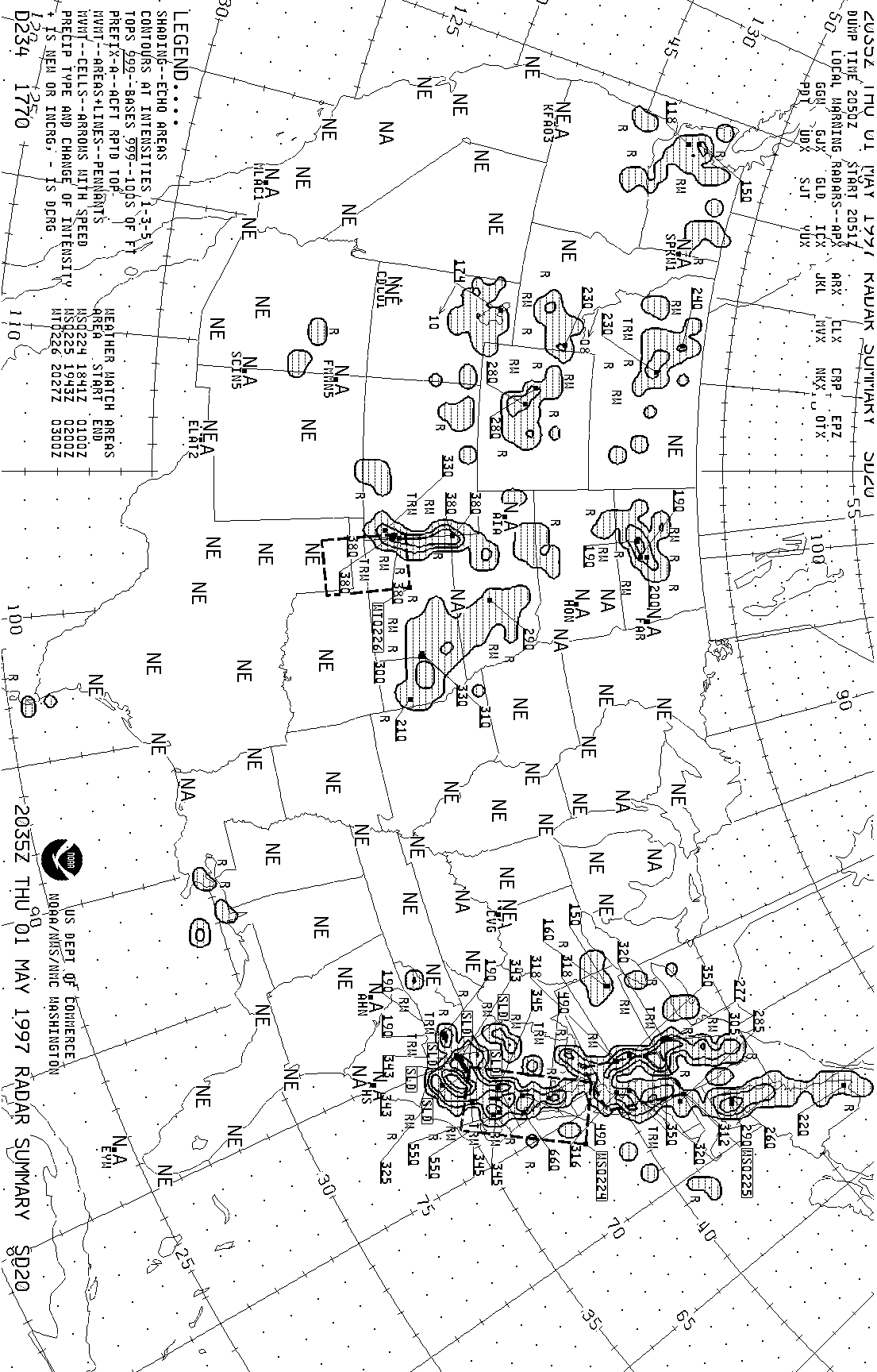
VA Storm Has Top of 66,000 FT! (4:35 PM) |

Virginia Storm Has Max DB of 72! (4:24 PM) |
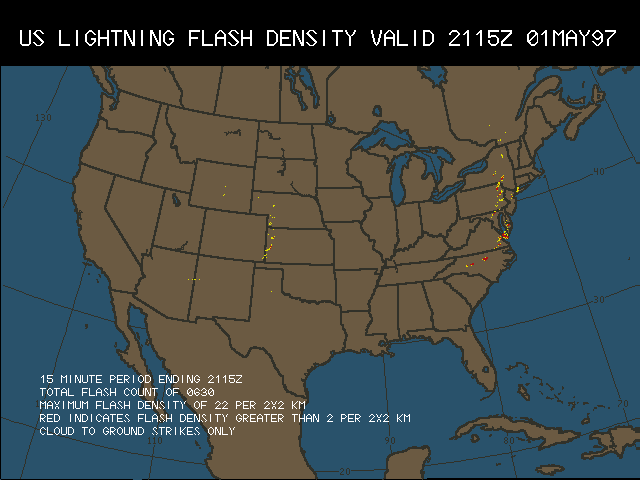
Lightning Data Shows > 2 in 2X2KM With Severe Storms (5:15 PM) |
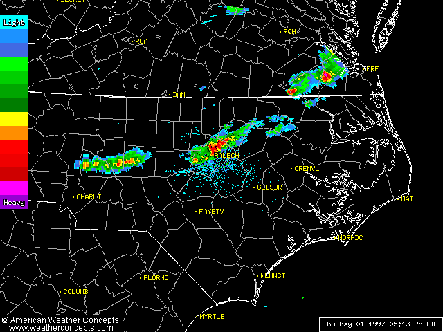
Raleigh Radar Shows CASI LSI in the red - 5:13 PM |

Nexrad Composite Notes 2.5" Hail With VA Storm (3:45 PM) |
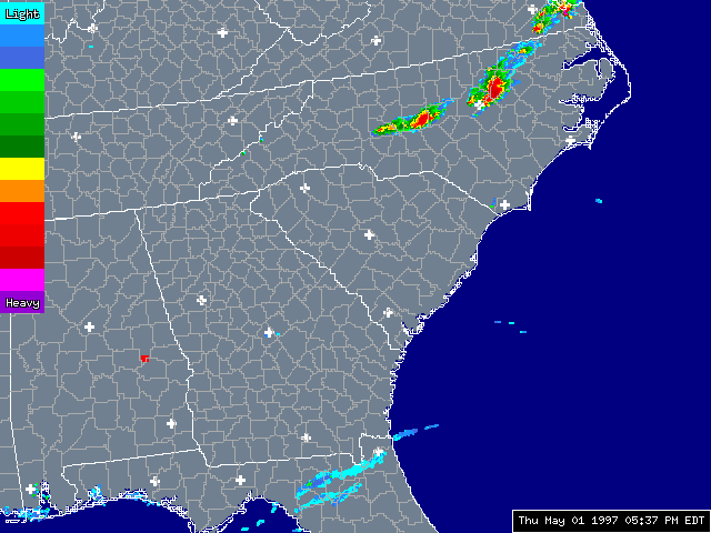
Not Much Else Around! NC Supercells 5:30 PM |

Nexrad Composite Notes 2 Mesocyclones and 1" Hail With Storm Approching RDU (4:28 PM) |

1.5" Rain in 1 Hour (4:40 PM) |
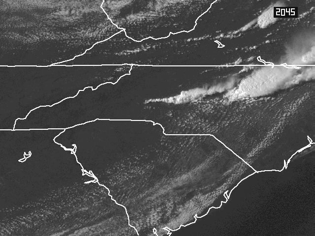
Carolina Satellite Shows Dryline and Supercells (4:45 PM) |

NC Dryline! Dewpoints from 22 to 65! |
GIF Animations:
Nexrad Animation of NC Supercells (3:58 - 7:58 PM). Notice not only the movement of the cells but the formation and dissipation of outflow boundaries.
 |