CASI Live Storm Investigation Report
Severe Thunderstorms of 5/1/97
Start: 1600 Local May 1, 1997
End: 1900 Local May 1, 1997
Member J. Ferrell Reporting
Source:
Format:
Geography:
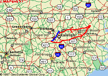 |
| This trip began as an LSI and ended as a PSI.
LSI = Blue, PSI = Red LSI Departure: North Raleigh, NC Mileage: Approx. 260 miles |
Preamble:
| 5/1/97 16:30 Location: North
Raleigh, NC
At 2pm, a Severe Thunderstorm Watch was issued for Eastern North Carolina.
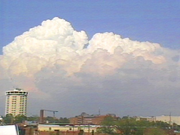
I could tell by the view over downtown Raleigh that the skies were ripe. One particular storm caught my eye, developing to the NE.
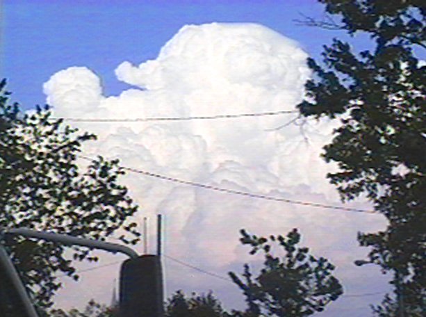
Zooming in I could see a rapidly growing cumulonimbus. It would turn out to be the least of the evening's storms.
By 4pm, Severe Thunderstorms were moving towards the Raleigh area. At about 4:30 pm, I left HQ to drive a couple miles Northerly until I had to stop the car as the edge of the storm was approaching. I mounted the anemometer on Vehicle #1 in the parking lot of the Kroger at Lynnwood Connection and sat in wait. At 4:44 pm, the NWS issued a Severe Thunderstorm Warning for the approaching storm. |
Report:
| 5/1/97 ~17:00 Location:
Creedmor Rd., North Raleigh
I sure didn't have much time before the rain started. I went into this one way too late. Upon arrival I grabbed some quick video of the approaching boiling clouds.
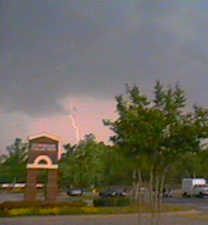
In anticipation of possible high winds, I had mounted the anemometer atop Vehicle #1 and now proceeded to sit in the parking lot as the storm overtook me. Occasional lightning bolts hit ahead of me, and heavy rain began.
The wind began gusting considerably, and the car shook briefly as the wind-driven rain rushed past and the anemometer registered 32 mph briefly, which would turn out to the the height of the storm.
The wind was now at a steady 20 mph as rain continued to batter the area. A few pieces of small hail hit the car. The worst was to the south, however, as Skywarn reports on the scanner indicated marble-sized hail just a few miles from us. It looked like we were on the northern, lesser edge of the storm.
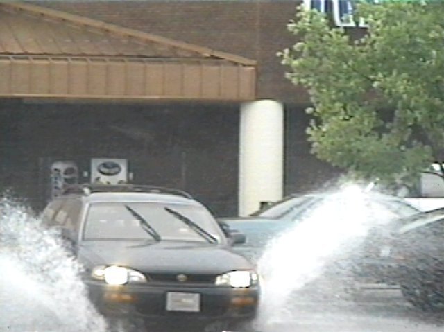
Rain and wind continued for another 20 minutes before it finally let up. The parking lot where I was located had flooded and shoppers drove through the newly-formed pond on their way out of the shopping center. |
| 5/1/97 ~17:50 Location:
HeadQuarters, North Raleigh
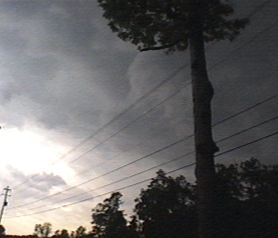
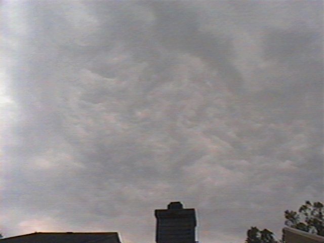
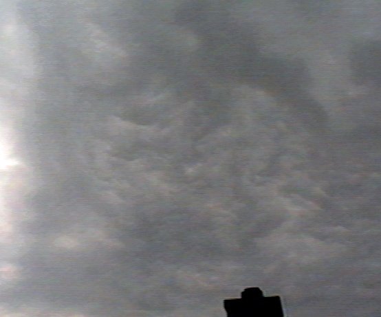
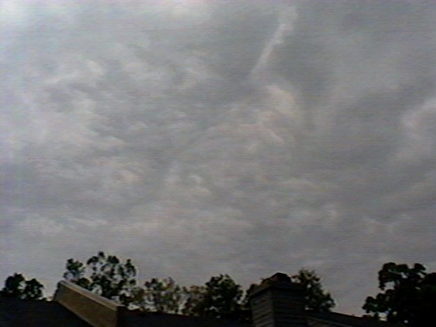
I returned to HQ for a short while to check the radar, and was greeted by some interesting clouds over HQ on the backside of the storm.
|
| 5/1/97 18:23 Location: US
1, Apex, NC
The storm moved off quickly, and by 6:30 was tearing through Wilson County. The Severe Thunderstorm Watch Status Report noted that the storm had become a supercell and was likely causing large hail and high winds in the area. Reports indicated that there were trees down in the northern part of the county (see PSI). Meanwhile another storm was approaching southern Wake county south of Raleigh. I went south to meet it.
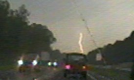
A couple of lightning strikes hit straight ahead as I travelled down US-1 but I could tell that I was too late for the brunt of this one as well; it was already moving quickly to the east. Within a half hour the NWS also issued a Severe Thunderstorm Warning for that storm. As the rain began to end, I hesitated on what to do next then decided to drive to Wilson to see any damage first hand that had been caused by the supercell. See the Post Storm Investigation for more information on this. |