
Central Atlantic
Storm Investigators
Central Atlantic
Storm Investigators
Severe Thunderstorms
April 21, 1997
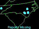

Post Storm Investigation (PSI)
The PSI for these storms involved rewatching the LSI videotape for video captures and collecting weather maps downloaded during the storm.
Below are some weather maps relating to the event (Click on each for the full-scale picture!):
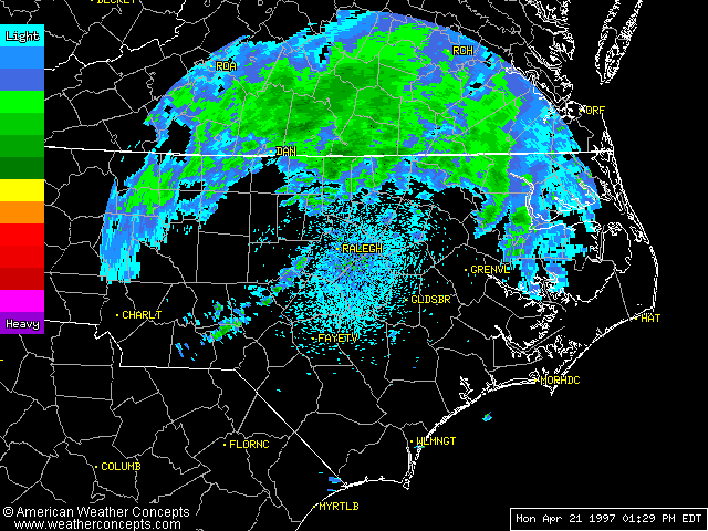
First Thing of Note: Small Line Develops SW of RDU 1:30 PM |

Line Produced Cells; More Behind It: Cookin' at 3:30 PM |
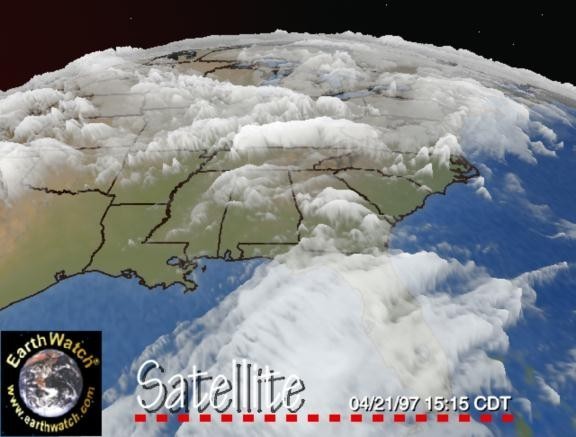
First Storms Tower Over SE NC and NE SC - 4:15 PM |
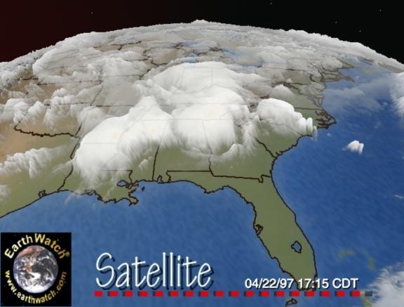
Storms Increase Over Eastern NC - 6:15 PM |

Nexrad Composite Notes 1.75" Hail With NC Storms At 4:17 PM |

Radar Summary Shows Cell Bearing Down on Triangle at 9:45 PM |

Lightning Strikes At 11PM Note That Show Is Not Over |

Severe Storm Bows East of Wake County 11:35 PM |

Nexrad Velocity Picks Out Echo West of Wake Co. 10:45 PM |

Nexrad Velocity Shows Echo in East Wake Co. 11:45 PM |

Radar Shows Severe T-Storm Warnings at 11:35 PM |
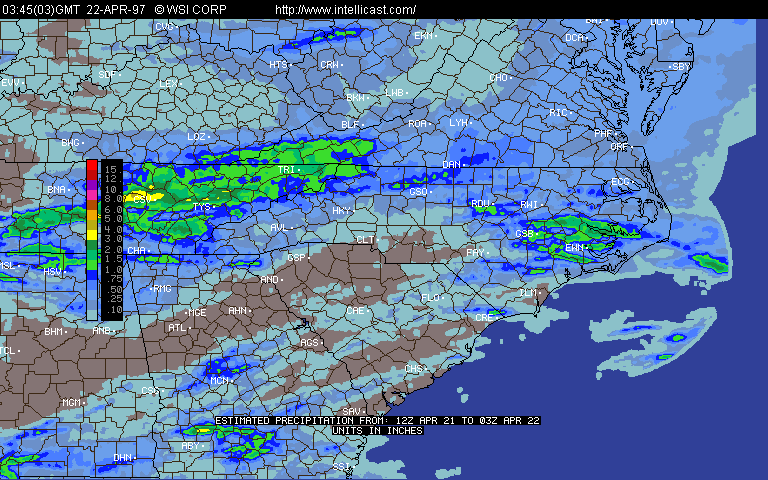
Overnight Precip Shows Maxes Where Cell Reached Max Strength in West Wake Co. |
We got several decent lightning strikes on video; unlike last year's big LSI in May, the lightning was streaking rather than just flashing this time. Here's what was happening on radar during the Live Storm Investigation:
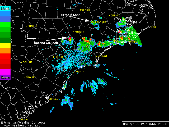 6:30 PM: The Storms I Saw From the Car (6:30PM) |
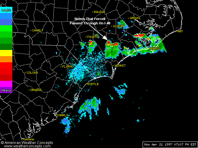 Storm I Passed Through On I-40 (7:00PM) |
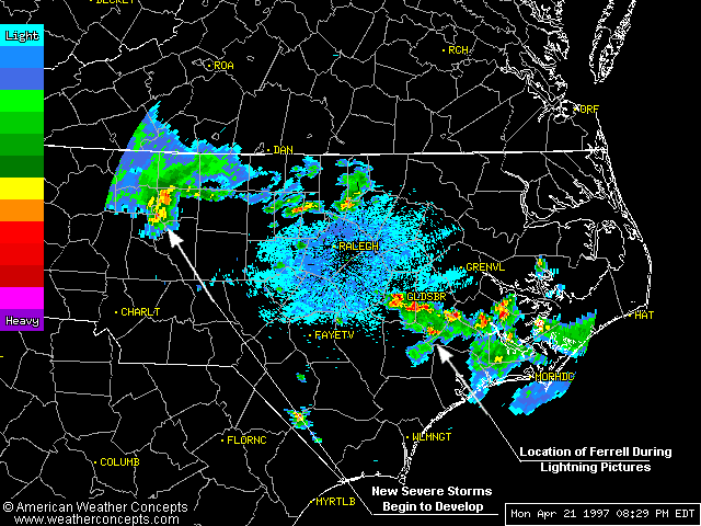 Lightning Storm, Others Develop (8:30PM) |
Here are several Nexrad Animations from the storms (times begin 4/21 and are local):
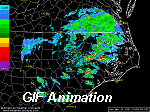 15:59 - 17:29 - 8 Frames - RDU BREF 0.5E |
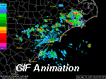 17:23 - 20:37 - 12 Frames - ILM BREF 0.5E |
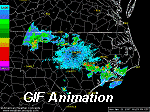 20:29 - 01:00 - 12 Frames - RDU BREF 0.5E |
Of particular interest is a Nexrad Animation from later that night through the morning of April 22, 1997. Watch a swirl "develop" east of Charlotte, NC at 3:30 AM then rotate counter-clockwise until it dissipates near the RDU radar just before 6:00 AM. Click for more info.
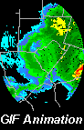
03:15 - 06:00 - 13 Frames
RDU BREF 0.5Elev