CASI Live Storm Investigation Report
Severe Thunderstorms of 4/21/97
Start: 1700 Local Apr 21, 1997
End: 2345 Local Apr 21, 1997
Member J. Ferrell Reporting
Source:
Format:
Geography:
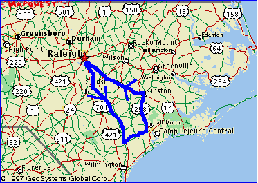 |
| Departure: North Raleigh, NC
Turn Back: Burgaw, NC Mileage Total: Approx. 260 miles |
Preamble:
| 4/21/97 17:20 Location:
North Raleigh, NC
After the NWS's issuance of a Special Weather Statement for the possible development of severe thunderstorms over North-Central NC, we were all surprised to see the action devlop southeast of Raleigh just after 4pm. A few storms had formed along a small instability line and ballooned up into severe cells in less than an hour. The were heading east at a decent clip. More storms were forming to the west, over NE SC and SE NC, and moving east. After deliberating the pros and cons of embarking on an LSI, and watching the radars to make sure that nothing was developing close to HQ, I finally decided to head towards the coast shortly after 6pm. I didn't want to miss anything developing in our area, but at the time it really looked like all the action was going to stay south. (I would later find out that it did stay south for several hours until severe storms developed west of HQ and subsequently moved near HQ). |
Report:
| 4/21/97 ~18:30 Location:
I-40 Rest Area, Near Warsaw, NC
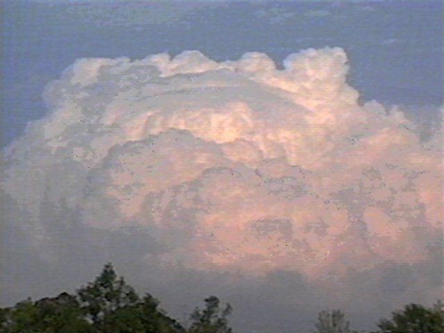
I pulled off at the rest area on I-40 near Warsaw to get some quick video shots of a decent looking cell which was to my left. It was trying to form a pileus cap near the top.
It looked like it was about to max out, but I couldn't be sure. Whatever the case it looked like a nice cell and it was certainly the closest that I could see.
A few minutes later, it was still looking good. Not knowing what, if anything, was still to my west, I toyed with the idea of driving northeast from I-40 just after I passed the storm to attempt intercept before it hit the coast. By pure fate, I missed the exit for Route 41, which I would have taken, and found myself passing the storm's latitude. |
| 4/21/97 ~18:40 Location:
I-40 Near Wallace, NC
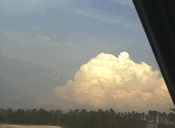
I was at first dismayed then found what I was looking for in the sky to my west: a much bigger, more impressive looking storm.
I pulled off on an exit to get some quick video of the impressive looking cell and its anvil.
If I continued at the same speed and direction I would probably intercept this one, might even have to travel a little to the west to meet it. |
| 4/21/97 ~18:50 Location:
Exit 373 near Magnolia, NC
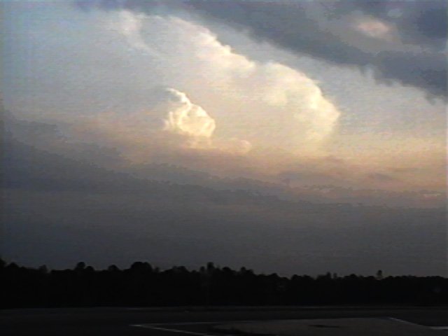
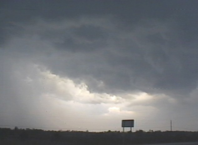
A bothersome small area of low dark clouds had obscured both the sun and my view of the cell to my west.
The clouds continued to increase and rapidly darken, so I pulled off at exit 373 near Magnolia, NC to get my bearings.
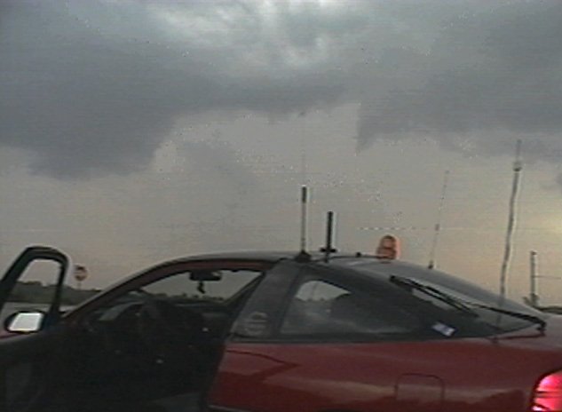
When I got out of the car, I was greeted with rolling undulations and lowering cloud decks. For such a small system, it certainly had some impressive cloud features.
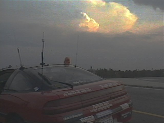
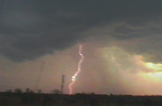
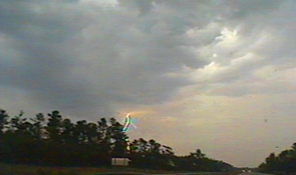
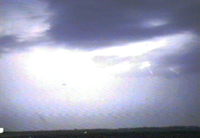
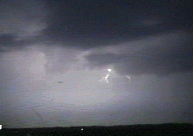
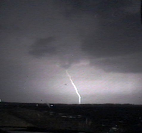
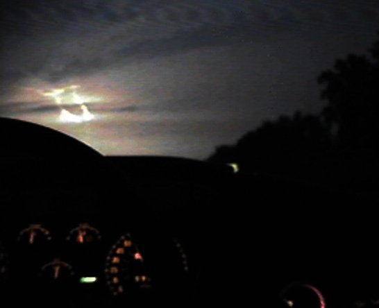
I got a really nice CG on video as it was coming out of the nearest deck as I looked out over the car to the west. (In fact that's the antenna that you see in the left part of the picture). Since I hadn't really intended to observe this storm (and since the lightning was getting closer), I got back in the car and continued southeast on I-40. |
| 4/21/97 19:00 Location:
I-40 Eastbound near Willard, NC
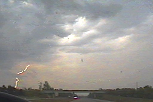
For the next few minutes I was watching multiple CG's on the road ahead. The whole of the storm seemed small in nature,
and I hoped to get out of it soon to get my bearings on the larger storm to the west;
I would be at its latitude soon. Rain picked up and became very heavy for a short time. There were a few more lightning stikes ahead and to my left. Then the rain let up a few minutes later and I seemed to be coming out of it. |
| 4/21/97 19:30 Location:
I-40 & Route 53
Now that the rain had let up, I pulled over briefly to videotape some low-contrast mammatus clouds that didn't show up very well on video tape. A few minutes later the storm cleared up and I pulled off at the intersection of I-40 and Route 53.
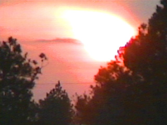
The CB I had seen to my west was nowhere to be found. Perhaps the edge of it had just come overhead to produce the heavy rain. In any case, I had nothing left but a beautiful sunset -- and the bittersweet taste of defeat -- or so I thought. My next thought was to attempt to trail behind the cell that I had missed, by taking 53 northeastward from my current location on I-40. This would bring me into Jacksonville, NC and should approximate the direction of the cell's travel in order that I could perhaps at least keep up with it. If it became dark from the sun setting outside, it became even darker as I traversed Route 53, driving under the anviltop to the storm, from which occasionally hung misformed mammatus. The anvil itself was impressive in its scope; it took up most of the visible sky as I slowly caught up with the storm. I went through Jacksonville then turned NW towards Kinston. Occasional pink lightning arced across the sky or hit the ground far ahead. |
| 4/21/97 20:14 Location:
Richlands, NC
As I entered Richlands, NC, on Route 258, the NWS at RDU issued a Severe Thunderstorm Warning for Wayne County which was about 30 miles straight ahead. A good bit of eastern NC is outside the range of weatherradio, especially in a moving vehicle, but I heard the EMS signal while monitoring a local radio station. Ahead of me, in the cell that I had been tracking, CG's reached down from the anvil to the earth. |
| 4/21/97 20:14 Location:
North of Richlands, NC on Route 258
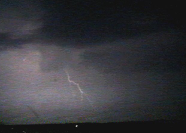
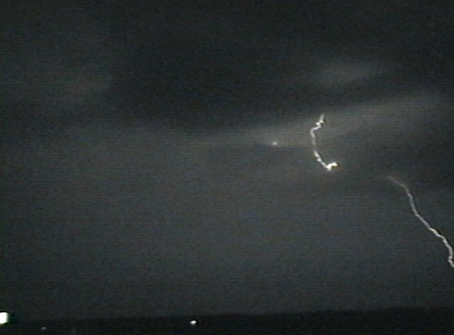
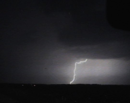
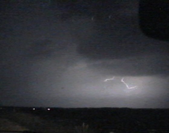
Just outside of Richlands, the road momentarily pointed more easterly, and I had a good view of the lightning straight out the windshield. I stopped the car for a few minutes and filmed out the front window, getting several decent strikes on film.
After that, I continued to see lightning until I was on the far side of Kinston. I picked up 70 and headed back towards HQ. Although I was too far away from weatheradio to hear the annoucement, SPC had just issued a Severe Thunderstorm Watch for eastern NC at 10pm. |
| 4/21/97 22:30 Location:
Garner, NC on Route 70W
By the time I could receive the RDU weatheradio station, things were already severe near HQ. Unbeknownst to me, severe storms had just developed in the west of the Triangle area and were heading straight for Raleigh.
After I heard the warnings I began to see intense lightning ahead. I had planned to stop by the workplace in South Raleigh to grab some images off the Internet and to take stock of the current situation, but the weatherradio warned of a severe thunderstorm heading straight for HQ! By the time I hit downtown Raleigh, the lightning was intense in the direction of HQ, and a Skywarn spotter was reporting "heavy hail at Crabtree", which is next to HQ. |
| 4/21/97 ~22:40 Location:
North Hills, Raleigh, NC
A Severe Thunderstorm Warning had just been issued for Wake Co. (the location of HQ) In a last ditch attempt to view the severe effects of the storm, I headed towards Capital Blvd. from Hwy 70 through North Hills, but it soon became apparent that the worst of it had already slipped to the east. I ran through some intense rain in the North Hills area, finally some small hail, then turned back around to return to HQ. Flooding in the road on Millbrook slowed my progress. |
| 4/21/97 ~23:00 Location:
North Hills, Raleigh, NC
Upon arriving at HQ, I screwed in the anemometer to the roof of Vehicle #1 (I hadn't hooked it up yet that evening because the observable thunderstorms hadn't had much wind) in case anything else were to come through.
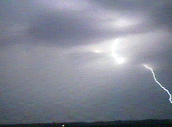
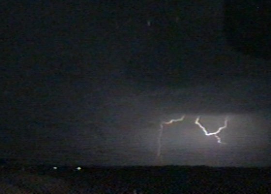
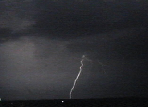
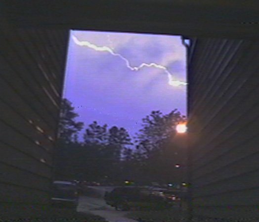
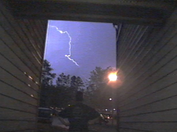
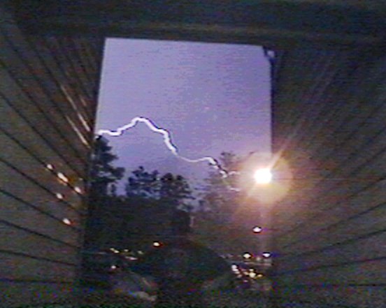
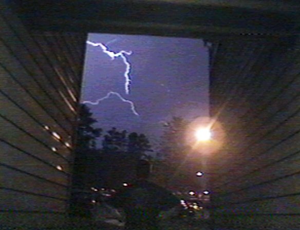
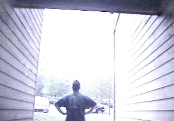
The second of two very intense cells was moving through the county, covering the ground with hail a few miles south. All we got at HQ from this one was some spectacular lightning. I set the videocamera on the railing as I observed the lightning from the foyer (yes that shadow in the pictures is me).
At 11:24 PM, RDU issued the LSR on the storms that had just passed through the triangle. It looked like there was nothing else coming in from the west, and what was heading to the east was moving too quickly to chase. Very tired, I went to bed, to reawake at 3am and another heavy thunderstorm came through HQ. |
||||||