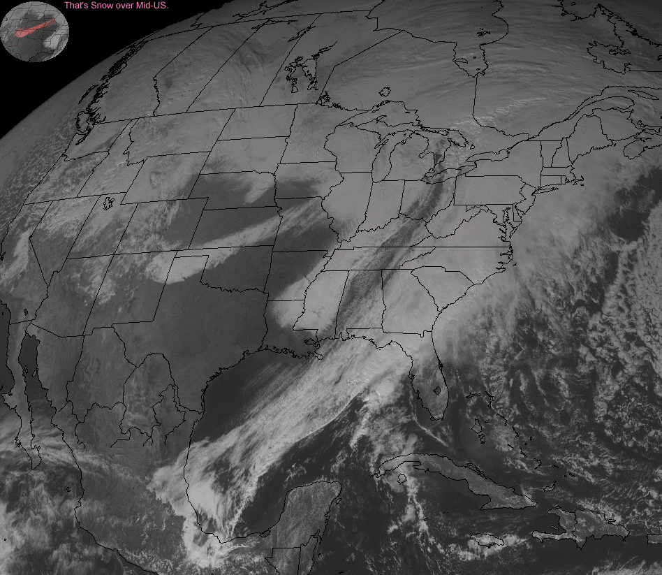
Welcome to J's Weather Map Of The Week Page. What you will find here is a weather map (chart, satellite map, plot, whatever) of an event that occurred recently (the weather doesn't work on a weekly timetable so it may not actually be a week). The Weather Map Of The Week is an exceptional or extreme diagram that I happen to come across while surfing for weather data. This page is usually updated on weekends, though it could change at any time. Click on the map for the full sized version.
This Week's Map
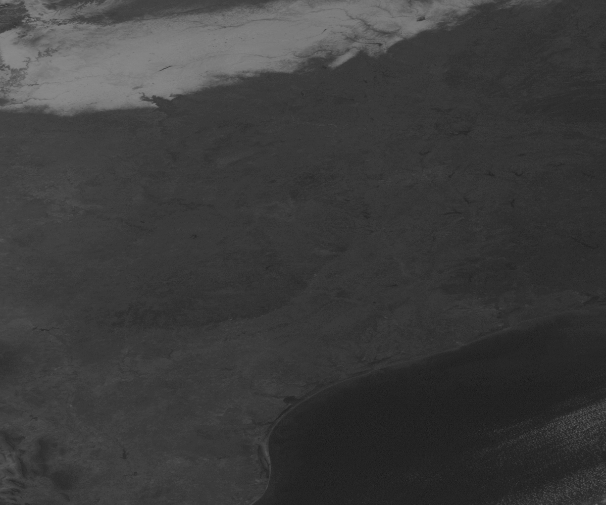
Event: Snow on Ground in Visible Satellite
Shot
Date: Mon., December 1, 1996
Type: Visible Satellite
Format: 501K GIF Enhanced*
Source1: NASA
Source2: SSEC
See Also: Unzoomed
Visible Shot