HandheldWeather.com by WeatherMatrix
© 2002 WeatherMatrix.Net - Redistribution Prohibited. Usage logged.
HandheldWeather.com by
WeatherMatrix
© 2002 WeatherMatrix.Net - Redistribution
Prohibited. Usage logged.
From: Jesse Ferrell (WeatherMatrix) 2 (jesse{at}weathermatrix.net)
Date: Mon May 05 2003 - 14:36:44 EDT
A HIGH RISK OF SEVERE THUNDERSTORMS has been issued today by the Storm
Prediction Center for parts of the Deep South including northern Louisiana,
northeastern Texas, southern Arkansas and northern Mississippi. A HIGH
RISK is only normally issued half a dozen times per year.
http://www.spc.noaa.gov/products/outlook/day1otlk.html
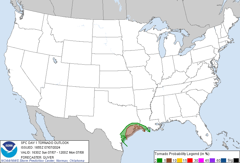
At 12:30pm a Tornado Risk of 25% (extremely high) was issued for this area
and northwest Alabama:
http://www.spc.noaa.gov/products/outlook/day1probotlk_1630_torn.gif
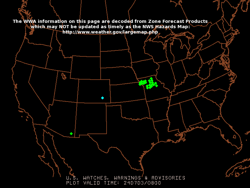
At the current time there are 5 Tornado Watches in effect.
http://www.spc.noaa.gov/products/wwa/wwa.gif
More than 200 storms have been picked up by NEXRAD for most of the night
and day today. Currently hail up to 1.5" in diameter along with more than
a dozen Mesocyclones are noted.
http://www.weathermatrix.net/stormmatrix/
Large hail and damaging winds are also possible. The SPC says:
...OUTBREAK OF SEVERE THUNDERSTORMS WITH TORNADOES IS EXPECTED
ACROSS PARTS OF THE LOWER MISSISSIPPI VALLEY THROUGH EARLY
TONIGHT...
Read the full text at the first URL above.
-- =================================================================== Jesse Ferrell - Meteorologist / Webmaster / Founder - WeatherMatrix 5000 Weather Enthusiasts Can't Be Wrong! www.weathermatrix.net==================================================================== StormReports Email List -- TO UNSUBSCRIBE, EMAIL A BLANK MESSAGE TO: stormreports-unsubscribe{at}wxmatrix-membersonly ; For Options Including 1 Per Day, Temporary Suspending, And More, Visit This Web Address: http://wxmatrix-membersonly/group/stormreports/join THESE REPORTS ARE MADE PUBLIC ON THE WEATHERMATRIX.NET WEBSITE!
Thank you for using HandheldWeather.com's Handheld / PDA / Palm Content