Current Weather At CASI HQ: Click Here For More Info |

| MAIN | STORM REPORTS | US SEVERE | MEMBERS | JOIN CASI | HELP/CONTACT | CAM |
|
Central |
|
|||||||
| Atlantic | |||||||||
| Storm | |||||||||
| I
n v e s t i g a t o r s |
|||||||||
|
|||||||||
|
Severe
Thunderstorms
|
|
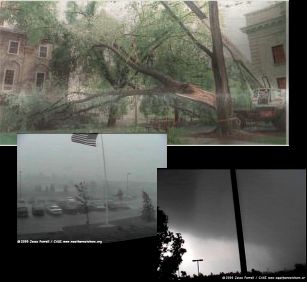
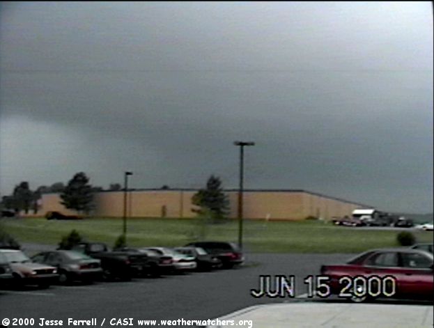
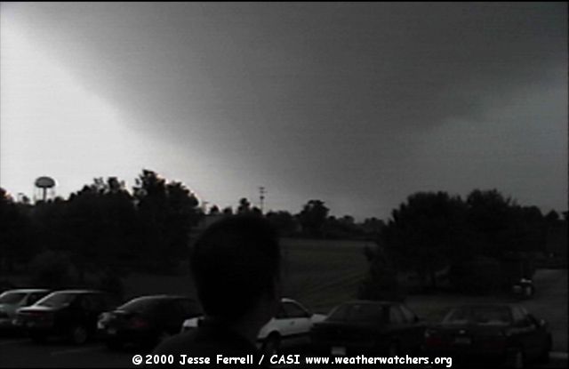
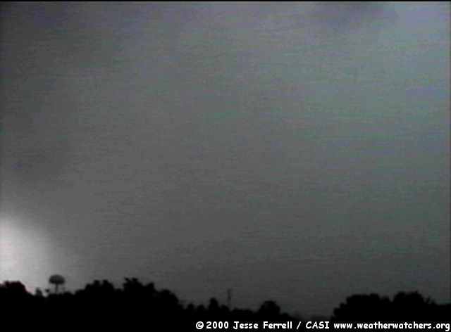
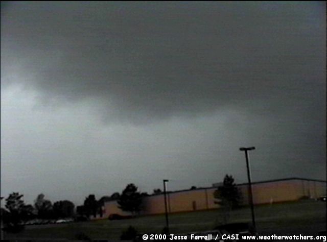
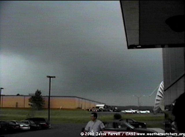
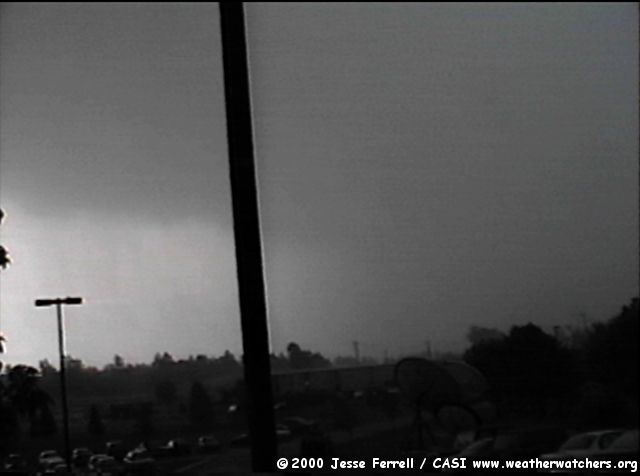
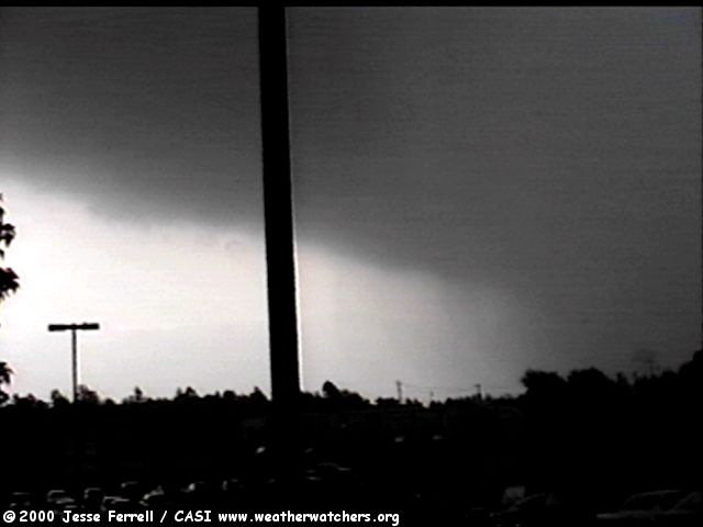
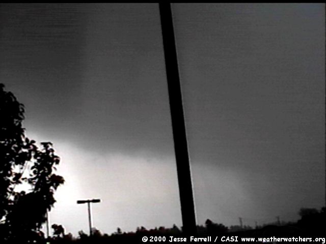
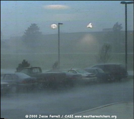
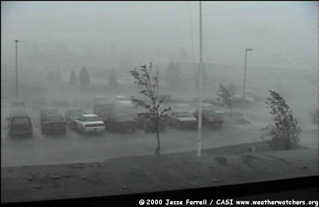
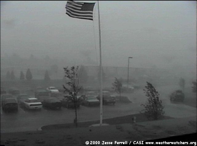
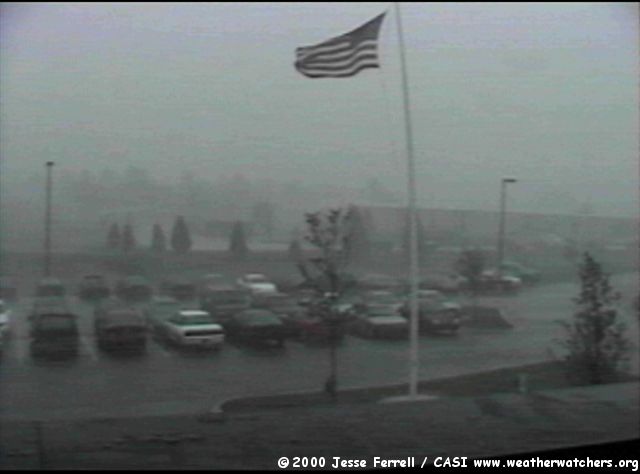
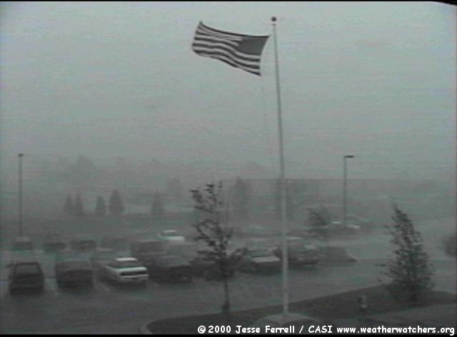
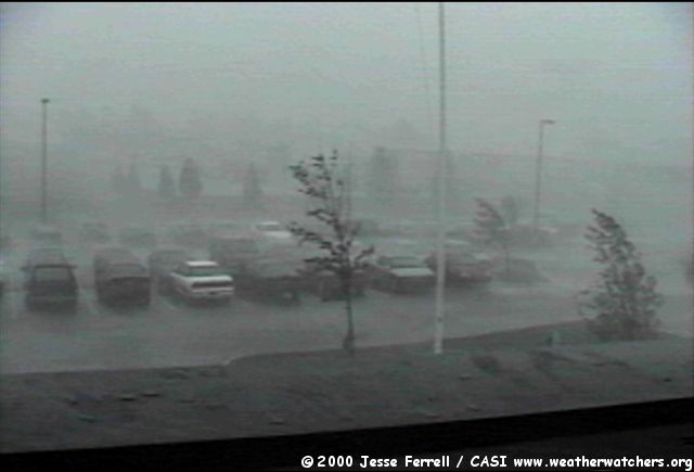
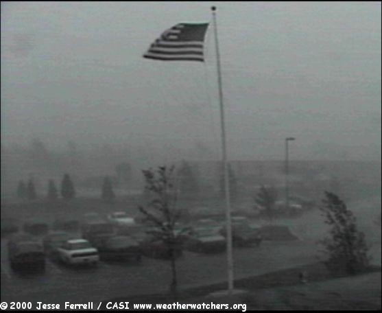
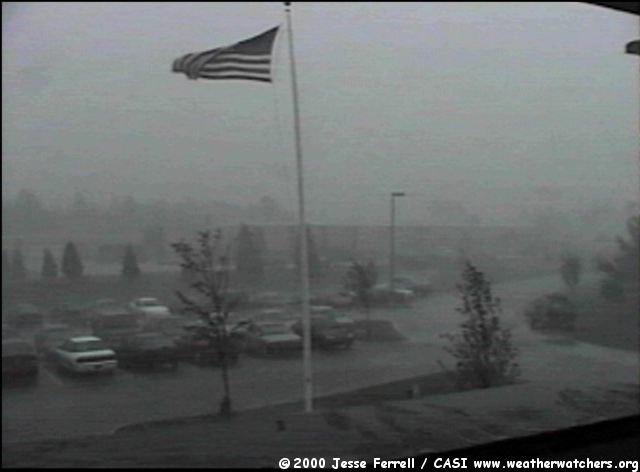
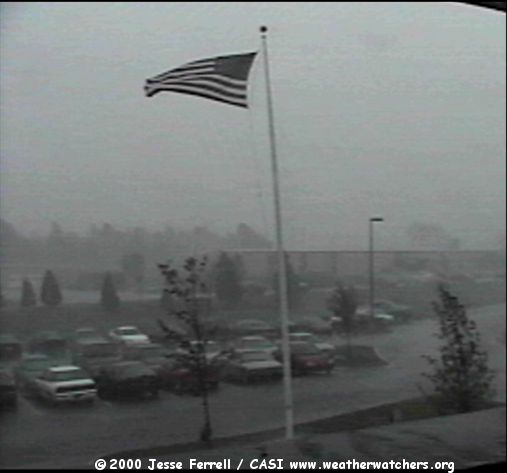
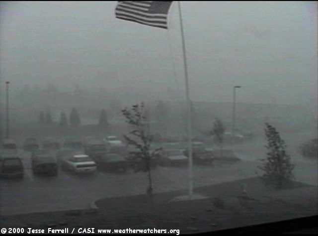
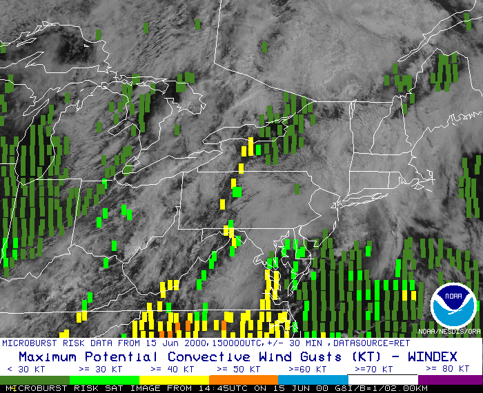
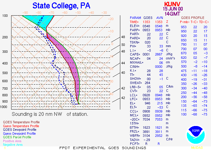
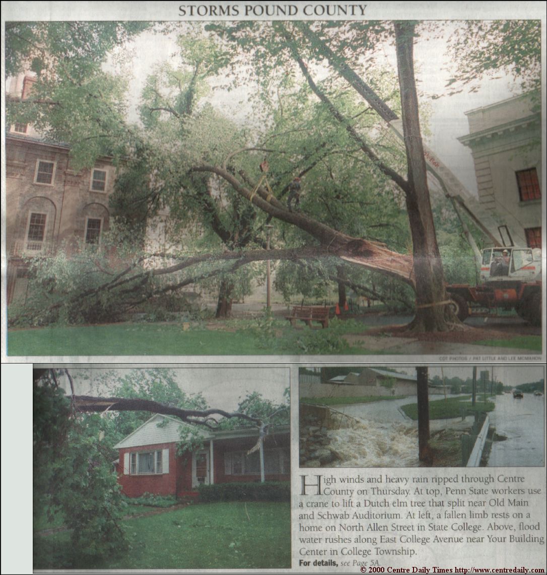
The following is a report from CASI Founder Jesse Ferrell on the Severe Thunderstorm that passed through State College Pennsylvania on June 15, 2000. The SPC Forecast said "CONVECTION SHOULD DEVELOP BY EARLY-MID AFTERNOON WITH EVOLUTION INTO MULTIPLE LINE SEGMENTS WITH POTENTIAL FOR DAMAGING BOW ECHOES." This is basically what happened (see radar animation below). At around 2:15 a line of storms bowed towards State College PA. And, though we had similar storms come through in the past several weeks with little to no fanfare, this storm brought a 62mph gust to downtown State College, and estimated 40-60mph winds to my location, on Science Park Road (see video below). The CASI2 Weather Station's computer was down so data was not recorded that day, but the hardware of the weather station reported that the 47mph gust from March still stood. The Satellite Estimated Convective Winds was pretty much on target, as was the Satellite Estimated SKEW-T for KUNV (State College). The following Local Storm Reports were issued by NWS-CTP. Best guess on the 62mph gust was that it was from an offline weather station atop the PSU Met Dept. building, downtown. Significant gusts were not reported by KPSU or KUNV.
PRELIMINARY LOCAL STORM REPORT
NATIONAL WEATHER SERVICE STATE COLLEGE, PA
452 PM EDT THU JUN 15 2000

TIME(EDT)  .....CITY LOCATION.....STATE   ...EVENT/REMARKS...
           ....COUNTY LOCATION....

1200 PM    SMETHPORT                 PA   WIND DAMAGE
06/15/00   MCKEAN                         TREES DOWN
0110 PM    NICKTOWN                  PA   WIND DAMAGE
06/15/00   CAMBRIA                        TREE DOWN
0223 PM    STATE COLLEGE             PA   62 MPH TSTM WIND GUST
06/15/00   CENTRE
0225 PM    STATE COLLEGE             PA   WIND DAMAGE
06/15/00   CENTRE                         TREES/WIRES DOWN
0245 PM    7 S PINE GROVE MILLS      PA   WIND DAMAGE
06/15/00   HUNTINGDON                     TREES/WIRES DOWN
VIDEO CAPTURES FROM SCIENCE PARK ROAD. (C) 2000 CASI Founder Jesse Ferrell. Click On Image For Full Size Picture.
|
© 2000 Central Atlantic Storm Investigators |