|
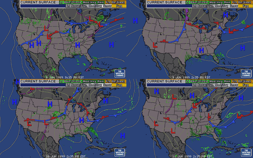
Surface
Map Animation Shows Backdoor Coldfront Progression 6/8-6/11
©1999
The Weather Channel
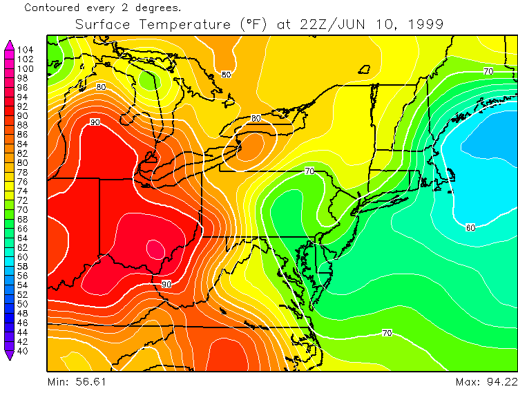
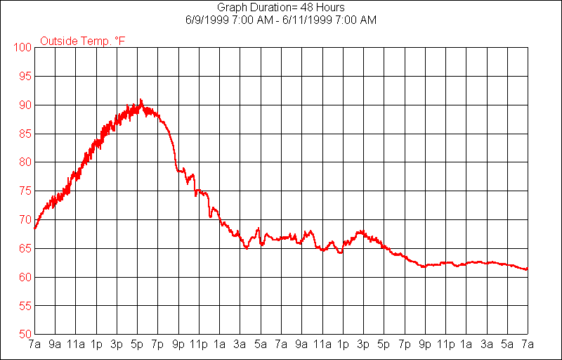
A strong backdoor coldfront came
through the Mid-Atlantic US on June 10 1999, killing the recent
heat wave and aiding in
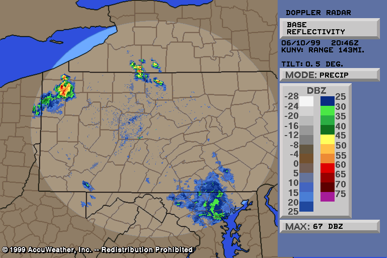
unusual westerly movement of storms and orographic lifting which was
accompanied by slow moving severe thunderstorms. These combined to
give very heavy rainfall over very localized areas, with up to 6.6"
total and up to 4.3" per hour according to NEXRAD estimated
precipitation. The storms were so stationary it was hard to tell them
from anomalous propogation without using a satellite to confirm!
Illustrations follow: |