
I'm not sure what exactly the requirements are for a Bow Echo event, but I'd call this one. NWS-CTP referred to it as a sqall line which is also a reasonable assumption. In any case, a line of Severe Thunderstorms moving from SW PA through NE PA on the evening of June 16, 1998, caused a number of Severe Thunderstorm Warnings to go out, some as much as 2 hours in advance of the dangerous storms which caused a good deal of tree damage across the state.
Click here for an NEXRAD Radar Loop from the UNV (State College) Radar. The Radar stopped transmitting just as the storms approached it and resumed about 2 hours later so there is no radar data past 7:30pm.
Member Greg Drollinger also got some heavy rain and hail from storms in his area which merged with this line as it moved in. His report is HERE.
Click here for a NEXRAD
Radar Loop from BGM (Binghamton NY).
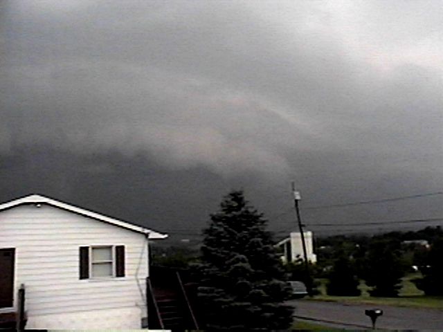
Gust Front Approaches HQ 7:10pm Facing WSW |
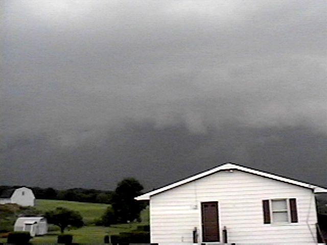
7:10pm Facing WSW |
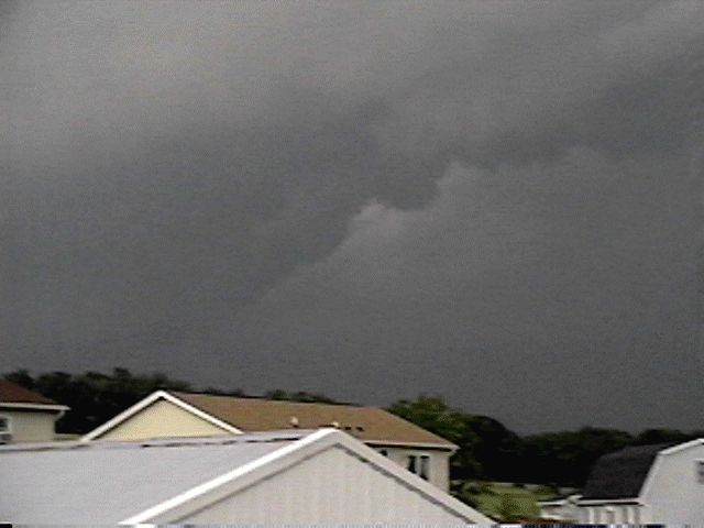
7:16pm Facing S |
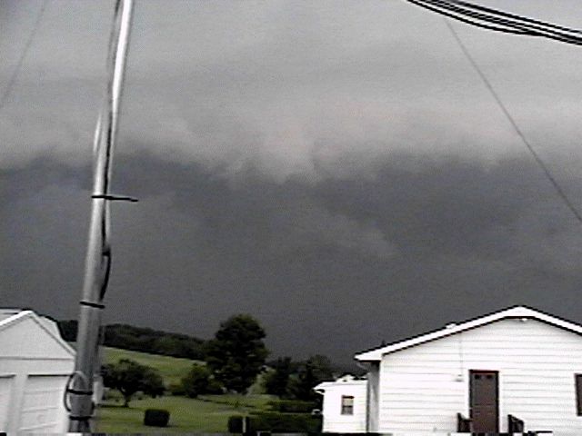
7:16pm Facing SSW |
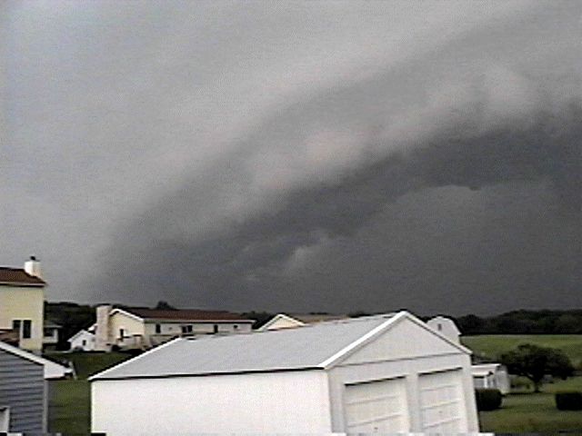
7:16pm Facing S |
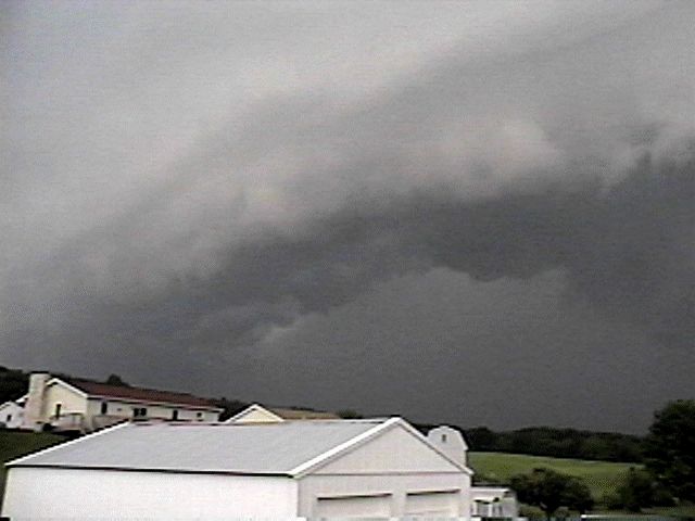
7:16pm Facing S |
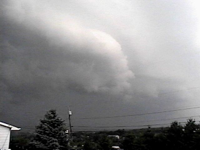
7:18pm Facing W |
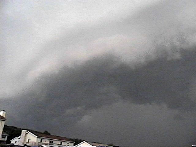
7:18pm Facing S |
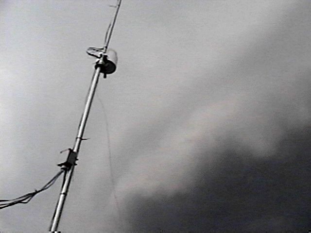
Hope The CASI1 Weather Station Can Handle This! |
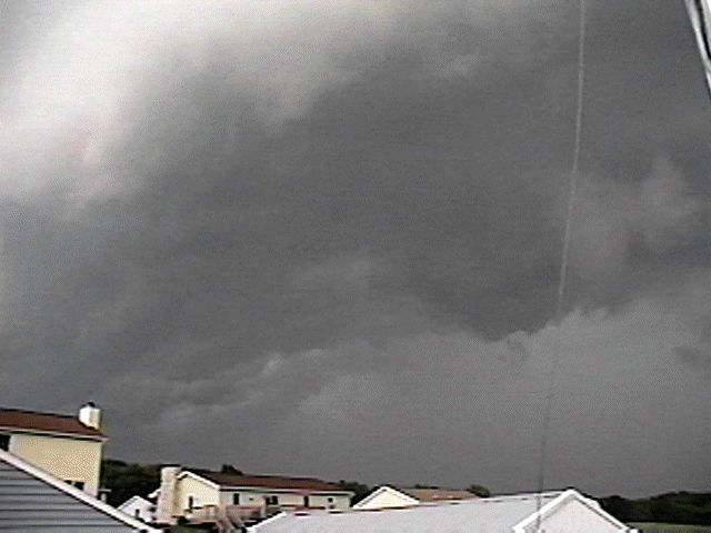
7:21pm Facing S |
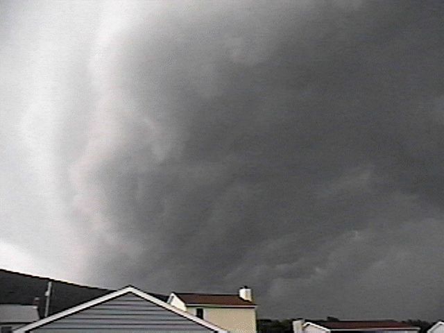
7:21pm Facing S |
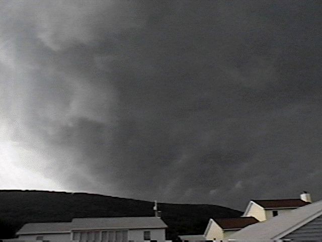
7:22pm Facing S |
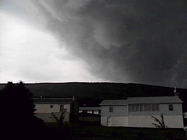
7:24pm Facing S (CASICAM Position) |
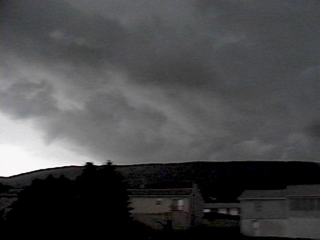
7:26pm Facing SE |
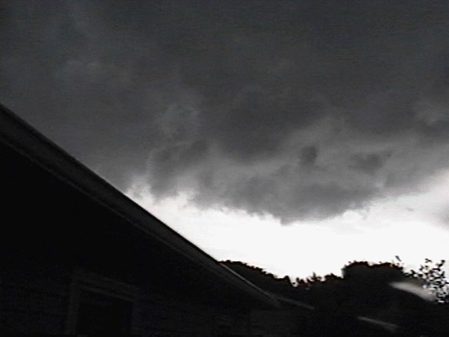
7:29pm Facing E |
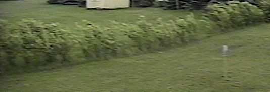
Wind! |