
Central Atlantic
Storm Investigators
Central Atlantic
Storm Investigators
Severe Thunderstorms
June 2, 1997

Post Storm Investigation (PSI)
The PSI for these storms involved rewatching the LSI videotape for video captures and collecting weather maps downloaded during the storm.
On June 2nd, an upper level low pressure system in the Tennessee valley continued to spin off storms over the Carolinas. Our LSI took us into the storm in South Raleigh.
Below are some weather maps relating to the event (Click on each for the full-scale picture!):
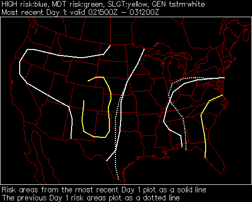
SPC Has Us In The Slight Risk |
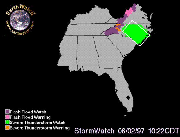
Severe Thunderstorm Watch In Green |
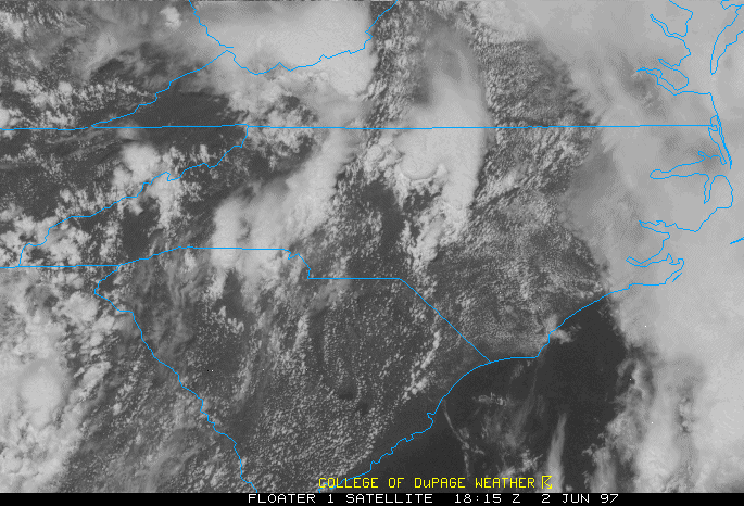
Satellite at 2:15 pm Shows Storms |
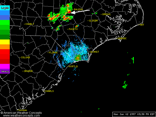
Only Available Radar (ILM) 3:38 PM (Just as LSI began near tip of arrow) |
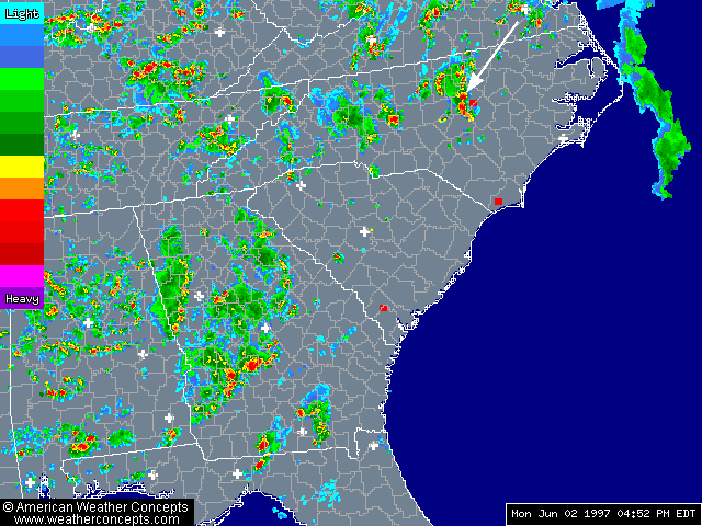
Regional Radar Summary 4:52 PM (Just After LSI) Shows (our storm is at tip of arrow) |

WRAL Doppler 5 at 5:29 PM As We Embarked on the Second LSI |
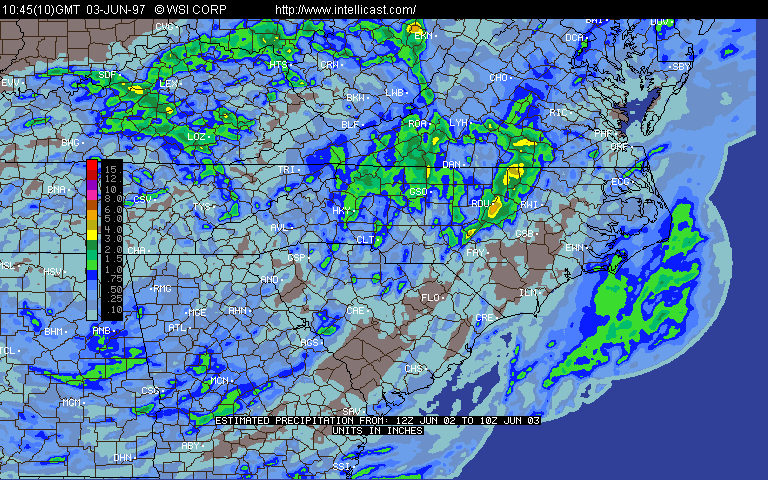
24-Hour Rainfall Estimate Next Day Shows Location of LSI As Maximum Accumulation - 5-6" Rain |
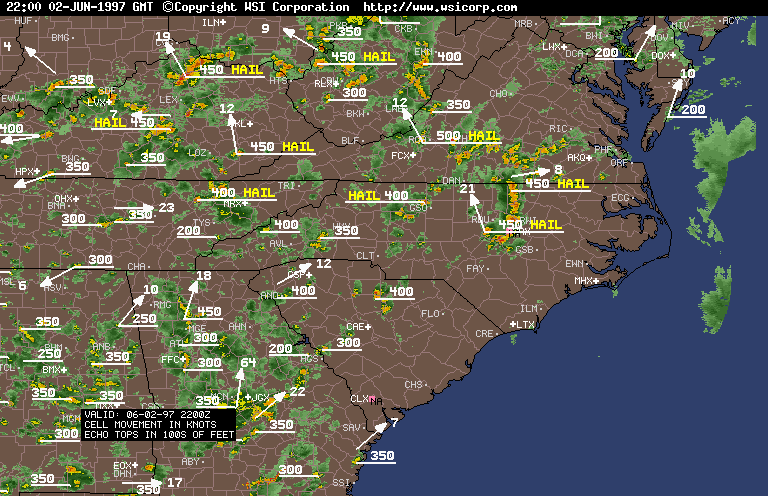
6PM Radar Summary Confirms RAX Radar Still Down, Large Storm in South Wake County |
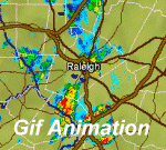
GIF Animation of Amazing Split and Turn Of Storm Away From the LSI |