CASI Live Storm Investigation Report
Severe Thunderstorms of 6/2/97
Start: 1500 Local Jun 2, 1997
End: 1900 Local Jun 2, 1997
Member J. Ferrell Reporting
Source:
Format:
Geography:
Southwest Raleigh, NC
Special Note:
This is probably the best Thunderstorm Live Storm Investigation that I've had since I've been doing LSI's. I finally was in the right place at the right time. This reminded me what it is all about. Even just rewatching the video astounds me.
Preamble:
| 6/2/97 ~15:00 Location:
South Raleigh, NC
I was at work when thunderstorms began to pop up all over eastern NC.
A Severe Thunderstorm Watch was out for our area, and the SPC had us in the Slight Risk Category. I waited until I could get some more radar shots before attempting to intercept a storm which was approaching from the south. Unfortunately at 3:15 pm the NWS radar went down. I attempted to keep up with the storms from other radars. |
Report:
| 6/2/97 ~16:00 Location:
South Raleigh, NC
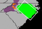
I could see on radar that a decent looking storm was about to pummel western Wake county. Being in South Raleigh already, I figured I'd go take a look. As I went to my car I could see the anvil to my west. Travelling down Hillsborough Street, the NWS issued a Severe Thunderstorm Warning for our County. The storm was quoted as being near Cary, NC, moving north towards North Raleigh (the location of HQ). I was heading towards Cary. Hillsborough Street runs right into Cary, but before I got a mile into the city limits I pulled to the side to take a look. I was riding into the edge of the storm, and there wasn't much to see as big raindrops started pummeling the car. For some reason, although I'm not entirely against core punching the (usually) small storms in the Carolinas, I decided that if I went back towards Raleigh, I could take Blue Ridge road north towards HQ and maybe get some good shots as I would be on the southwest edge of the storm. |
| 6/2/97 16:10 Location: State
Fairgrounds, Trinity & Blue Ridge Roads, South Raleigh, NC
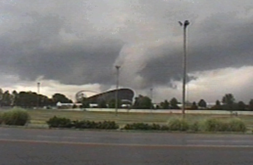
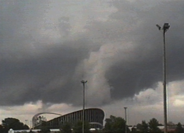
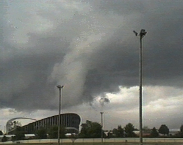
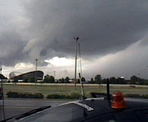
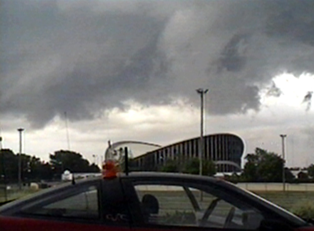
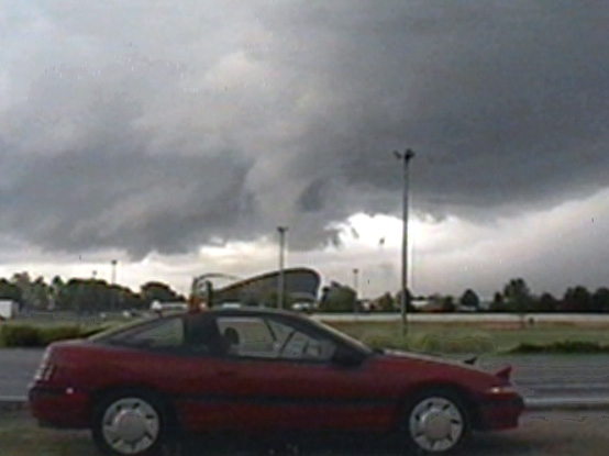
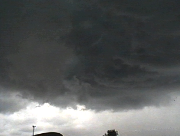
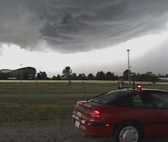
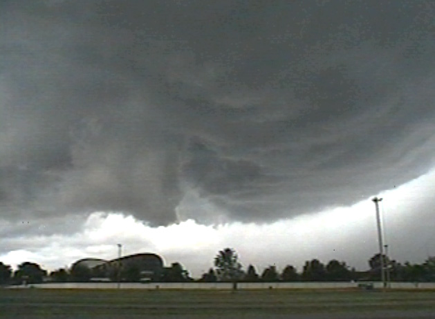
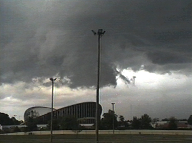
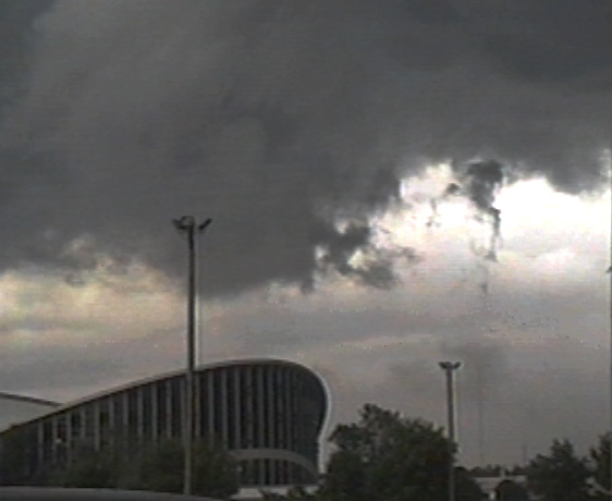
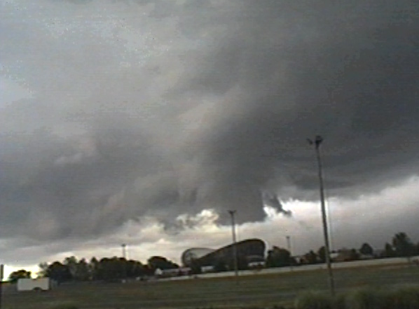
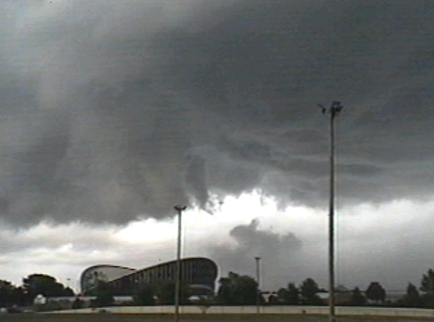
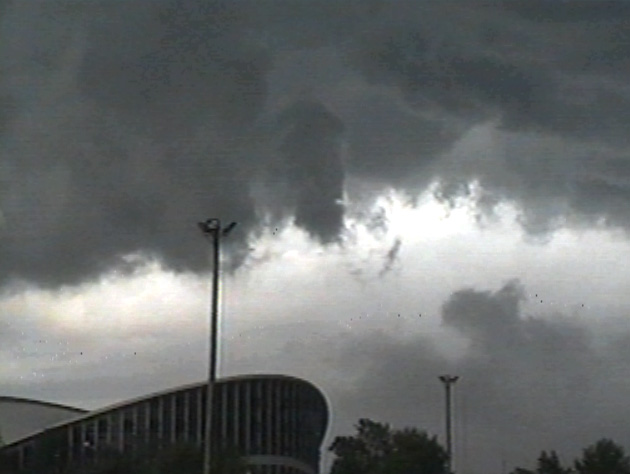
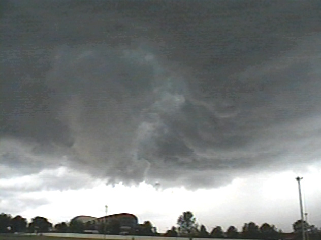
As I headed up Blue Ridge road some clouds caught my eye out the driver's side window, about where I had just driven back out from under the storm. I was coming up on the intersection of Trinity Road and decided to pull over to take a look. I have often drempt of an LSI at the State Fairgrounds; the area is the most treeless part of South Raleigh, with great visibility, decent access to the Beltline, and plenty of parking (as long as the Fair is not in progress). At first I pulled off on the right shoulder of Trinity, facing the Dorton Arena, a potato-chip shaped building on the Fairgrounds. When I looked out the driver's side window, I was greeted with an area of rotation, mini wall cloud, cloud striations, and scud, some lowering, some wisping up into the updraft. NOTE: I'm presenting some video captures here, but they don't quite look like the real thing, you've got to see the video. Fast forwarding on the VCR shows clear rotation of the entire frame area and rapid upward movement of scud in the updraft. The storm was beautiful. It was clear where I was: in the "right" place for once. Several "funnel clouds" were errantly (NWS thinks ;)) in this area, due to some of the formations that I saw. I did take some still photos which I have yet to develop and will post here when I do.
|
|||||||||||||||||||||||||||
| 6/2/97 16:19 Location: State
Fairgrounds, Trinity & Blue Ridge Roads, South Raleigh, NC
The cloudbase was rain-free as I observed the beauty of the storm. Knowing, however, that the rain would soon overspread us, I hastily mounted the anemometer on the roof in between taking pictures and video.
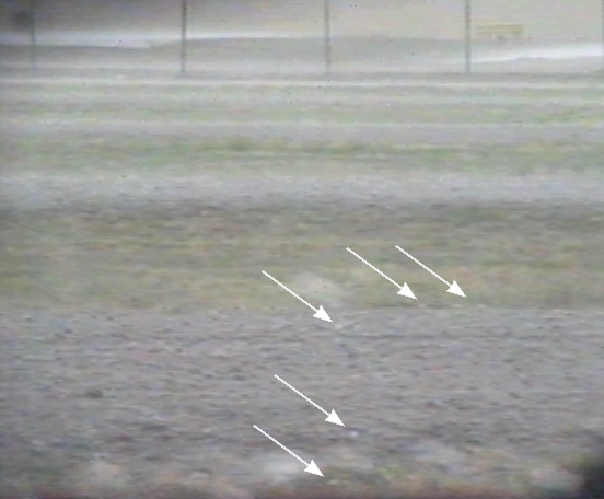
The rain started, and hail immediately after. First pea-size then marble, and it got fairly heavy for a couple of minutes. The ground wasn't white though; the rain was heavy enough to aid in melting what fell, but the larger stones were clearly visible in the video (see arrows).
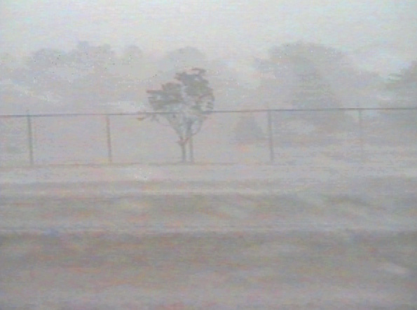
The anemometer measured sustained winds of 20 with a gust of 26 mph (assuming the hail wasn't affecting the measurement by battering the cups which is still up for debate). At 4:35 pm the wind, rain, and hail continued; the hail had let up for a few minutes but now was pea size again. The field where we were was rapidly flooding; a car downstream from me which had taken shelter under a tree had to move towards me when the water was up to the bottom of his doors. By 4:45 pm the rain had begun to let up and it was clear there was nothing left here for me, so I headed back to the workplace on Hillsborough Street to make up for lost time. |
| 6/2/97 ~17:00 Location:
615 Hillsborough, South Raleigh, NC
Upon arrival at the workplace, I noted that no rain had fallen, though the LSI was conducted only a mile or two from there. Other storms were approaching; rain began to fall as I entered the building and continued off and on.
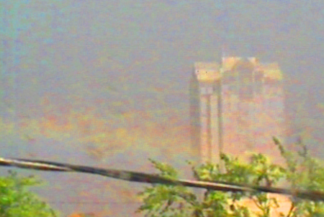
The sun came out from behind the storm which I had been in, but it was still raining. I predicted a rainbow and called co-workers to the window to watch a dim but beautiful rainbow form over downtown Raleigh. |
| 6/2/97 ~19:00 Location: SE Wake
County, Intersection of 50 and 70
I attempted another LSI in SE Wake County; the NWS radar was still down and a questionable Doppler 5000 image from WRAL placed an intense storm in that area. As I travelled down 70 towards the area, NWS issued a Severe Thunderstorm Warning for the area. I paused for a moment at the fork of 50 and 70, looked at the maps, decided to go with 50. A couple of strange things happened then - I though that I was just in the wrong place at the wrong time, that I had made a bad decision in taking 50 south instead of 70 east. Turns out that the storm actually split and the major area went Northwestward. You've got to see the Nexrad animation from the PSI for this; it was really strange. In any case there wasn't much to see, so I headed back to HQ, running through a foot of water in downtown Raleigh on my way back. Listening to the weatheradio at about 19:30 I heard "Spotters report over 5 feet of water at the fork of 50 and 70." This was apparently another storm coming up from the south. If I had sat still for an hour debating which road to take I'd have been under water. I wasn't sure if that was a a good or bad thing. I was detoured away from HQ and had to take another way in; a tree had fallen across the road home and Raleigh police were directing traffic around it. I don't think that I could have asked for a much more interesting LSI: being caught in the Bear's Cage as it were, seeing a rainbow, the first hail of the year, nearly being under 5 feet of water, then detoured away from home due to fallen trees. I thought I was in Hurricane Fran again. ;) |