
Central Atlantic
Storm Investigators
Central Atlantic
Storm Investigators
Severe Thunderstorm Squall Line
May 3, 1997
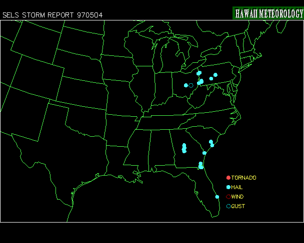

Post Storm Investigation (PSI)
The PSI for these storms involved rewatching the LSI videotape for video captures and collecting weather maps downloaded during the storm.
Below are some weather maps relating to the event (Click on each for the full-scale picture):
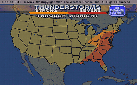
Weather Channel Severe Threat Area |
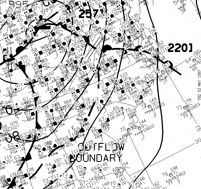
Surface Analysis (5am) Shows Squall Line is acutally an Outflow Boundary |
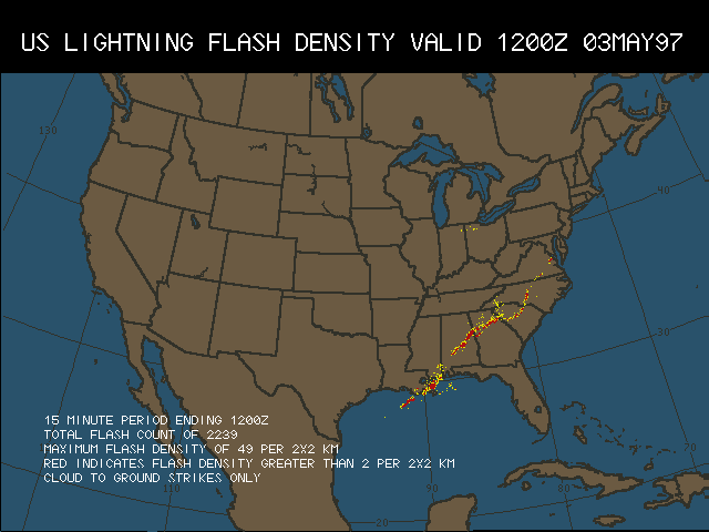
Lightning Data At 8am, Just Before the Storm Passed Over HQ |
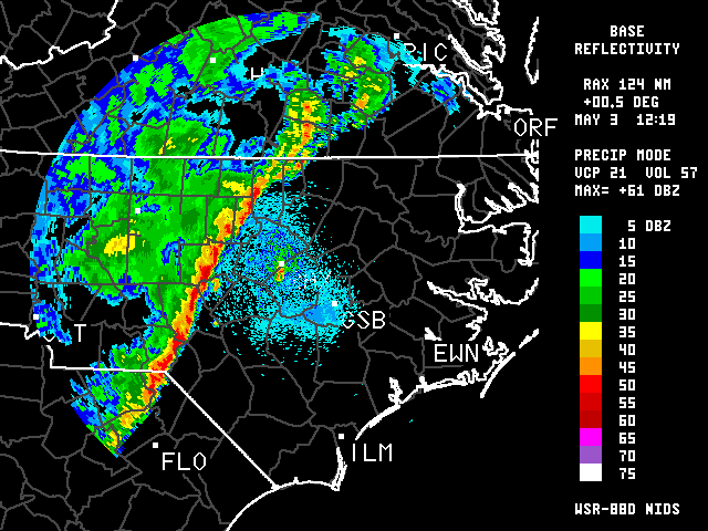
Nexrad Base Refl. at 8:20 AM |
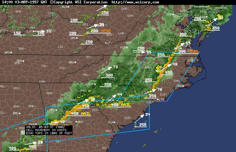
Regional Summary Shows Squall Line as it Causes Damage in Wilson County (10 AM) |
GIF ANIMATION Of Movement of Squall Line Through Eastern NC |