CASI Live Storm Investigation Report
Thunderstorms of 5/27/96
Start: 1855 Local May 27, 1996
End: 0030 Local May 28, 1996
Member J. Ferrell Reporting
Source:
Format:
Geography:
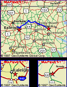 |
| Departure: North Raleigh, NC
Turn Back: Bethel, NC Mileage: Approx. 100 miles |
Preamble:
| 9/4/96 18:55 Location: North
Raleigh, NC
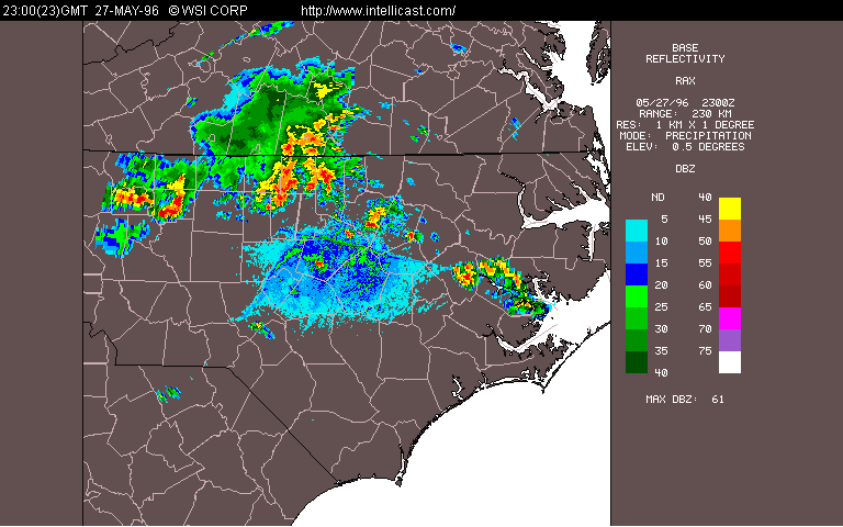
A strong frontal system was approaching from the west. It had a history of severe weather. As I saw the storms approaching on radar, I tuned into the SKYWARN frequency on the shortwave: "I'm about 10 miles from Bunn in Franklin County... off to the east we got some dark clouds and some hefty thunder." "Well, keep yer eyes open in case the sky opens up on ya'. Thanks for the report, Raleigh SKYWARN out."
It had come up rather suddenly, and, as usual, I was unprepared. Storms had been flanking the NC/VA borderall day but I had been reluctant to believe that the stationary front was going to push south enough to give us some of the action. I guess subconciously I figured all the good severe weather for the year was over since I had missed the Zebulon Tornado about a month ago. In any case, as the storms entered the NOAA Wx Radio listening area, the chatter on the shortwave became a more frequent banter between Raleigh Skywarn and the spotters. I saw a flash of lightning outside. I wanted to wait it out a little longer, try to get at least another radar shot. It was heck to get out of the city and I wanted to make sure this was going to be worth my while.
"Something should be happening around Franklin County, according to the weather radar. Looking for reports out of there and... Person County." According to the NWS, the storms were firing up along a Line of Tempature Instability over NorthCentral NC. One of the spotters inquired as to the current state of watches/warnings in the area. A Severe Thunderstorm Warning for Forsyth County continued in effect until 7:15pm; A Severe Thunderstorm Warning for Granville and Person Counties was also in effect until 7:35pm. "This is Raleigh Weather. We are in Standby Mode; severe weather has been indicated in the area." I went to take a look out the front door (South); nothing major happening yet. Still dark out back (North) with occasional LTG. A breeze was picking up. The sun was setting that day around 8:30. It being already 7:15pm, I debated whether or not to even follow the storms; could I get out of town even before dark? A similar conundrum would have occurred had I been paying attention during the Zebulon Tornado, which also occured at this time of day. |
Report:
| 5/27/96 19:21:00 EST Location:
North Raleigh, NC
The decision had been made, and I was in the car. Already the clouds were looking ominous. I had grabbed the essentials, sturdy NC Road Map for general maneuvering, as well as a Topographic Local Atlas for back road navigation.
The WeatherRadio Alert hung from my right sunshade. Large drops of rain began to pelt the car as the WeatherRadio announced a Severe Thunderstorm Warning for Wake County--My Current Location-- due to two storms, one forming in Northern Wake county (i.e. just north of me), and one forming in Southern Wake County, so the general situation was good. |
| 5/27/96 19:36, Rolesville,
NC
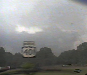
Moderate rain had begun. Lightning was occasional, some cloud-to-cloud, but mostly impressive CG strikes. The camera just missed one straight ahead as I panned to the right for a cloud shot.
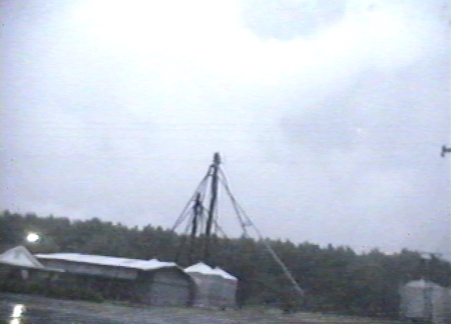
I'm on 401, the sign says, with a thunderstorm tower in the distance beside it for a fraction of a second as I whiz past. |
| 5/27/96 19:43, Leaving Rolesville,
NC
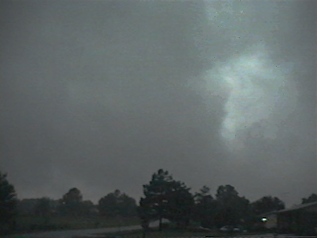
Ominous scud clouds begin to envelop me and the wind increases as I leave the town of Rolesville.
|
| 5/27/96 19:50, Franklin
County Line
Entering Franklin County very heavy rains began. Street Flooding and standing water was beginning to become a driving hazard, with visibility reduced to 500 feet.
The WeatherRadio sprang to life with an alert tone: A Severe Thunderstorm Warning had just been issued for Franklink County. As the rain steadied, there was no wind to speak of; the gust front was long gone. Scud began to move more rapidly, and I could tell we were nearing the core of this one. |
| 5/27/96 ~20:00, Route 401
I have stopped at an intersection to take stock of the situation. It's deathly quiet; not a sound. No birds, no wind, no rain. Nothing. The entire sky darkens so quickly I feel like I'm losing my vision for a moment.
Lightning and thunder are rolling all around me and I have the distinct feeling that I have not driven out of the thunderstorm but am indeed deep inside. I debated where to go from there. I looked at the maps. Checked the Weatheradio. Nothing new. The air was still creepily still. I pulled back on the road, and headed out Highway 56 towards the Franklin Airport.
The road forked, and I pulled off briefly. This time I was able to get out of the car. A strong breeze had started suddenly and I was a bit worried about such an occurrence after the quietness that had ensued.
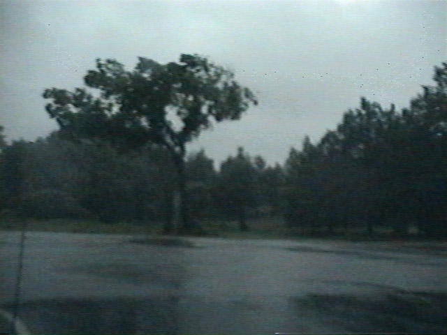
The breeze became a gale; a gust caught my hat and sent me chasing it across a field. I got back into the car and pressed on.
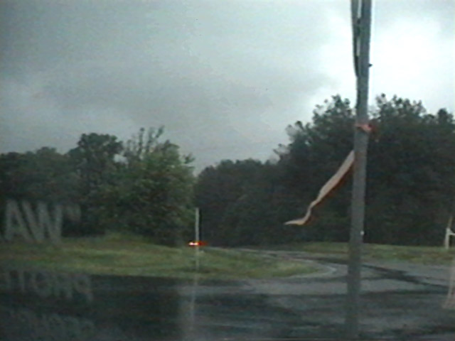
A few moments later I paused at an intersection to get a shot of the highway in the breeze, a red tie around a stopsign serving as a local windsock. |
| 5/27/96 ~20:10, Route 39
The rain increased suddenly and with it came the wind. I noted that I was surprised to have not yet seen any hail with this storm. A gust of wind hit the car and threatened to jerk the steering away from me. The rain was intense. I turned South onto 39 not wanting to hit the northern edge of the storms but to stay in them. Lightning was increasing and street flooding was occuring. |
| 5/27/96 ~20:20, Bunn, NC
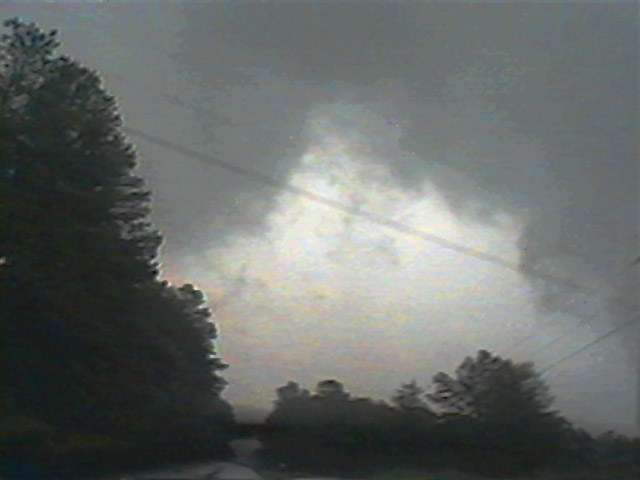
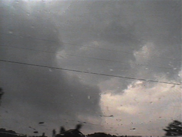
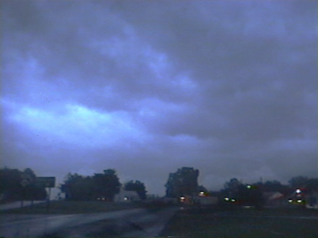
I have just arrived in Bunn, NC on Route 39. The rain had let up, exposing the bulbuous underbody of the storm.
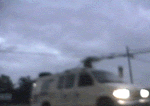
As I paused at an intersection to take some video, News Channel 11's van whizzed past me, assumably covering the storms as well.
The clouds were putting on a beautiful show, but with sunset it would soon end. Lightning had become more plentiful, with frequent IC's and CG's nearly every second.
I decide to take East-98 from there. The frequent lightning was concentrated ahead of me, and with the sun just setting, I hoped to get some good night video of the lightning. No cities were within dozens of miles as well; the setup for night photography would be prime. There was light leaf debris in the road, indicating that the lightning ahead had not traveled alone. |
| 5/27/96 20:30, Spring Hope,
NC
There were still leaves and occasionally branches in the roadway. I ran over a board and soon after saw a farmer dragging a boat down the side of the road; not sure if they were related to the storm but it seemed rather odd. I picked up East 98 again and followed it around Rocky Mount, NC. |
| 5/27/96 ~20:45, Under an
Overpass on 64
Between Rocky Mt. and Tarrboro now, I pulled under an overpass to take some video of the lightning, which only paused one second maximum between flashes.
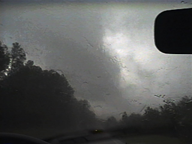
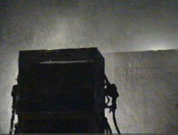
One strike hit within 1000 feet and lit up the black night blindingly. There was less than one second between the flash and the thunder. The shot shown here was during the strike, looking out the front windshield (wipers at bottom left). |
| 5/27/96 ~20:50, Mildred,
NC
Heavy rain, moderate wind, and light hail (I first noticed that the road seemed to have suddenly become rough then saw the white peas bouncing off of the front on my car) had ensued. The lightning did not let up. |
| 5/27/96 ~21:00, Conetoe,
NC
The rain and wind were insane. I felt like I was in a hurricane. The wind was a steady 40 mph and gusting, I estimated. The lightning was still intense.
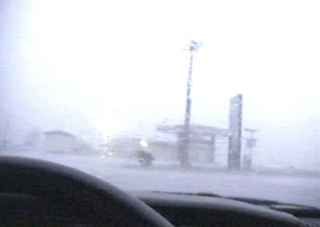
The road was underwater and visibility was next to nothing anyway, so I pulled over at a gas station in Conetoe, NC. Even under the protective roof of the gas station, the rain poured in. It was, I estimated, the heaviest rain that I had ever suffered through in my car. The windshield wipers were useless; I could only liken it to being under a huge waterfall.
At one point the car seemed to be moving, though I couldn't gather if it was being moved by the wind or floating away; probably a bit of each. |
| 5/27/96 ~21:10, near Bethel,
NC
The rain has finally let up and left us with some beautiful lightning, still very frequent. I sit across from a mill for a while running the videocamera, then next to a church recording the frequent lightning.
Finally around 9:30 PM the best of the show seems to be over, and I drive towards home. |
| 5/27/96 ~21:30, near Bethel,
NC
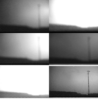
One last stop on the side of the road to view some lightning results in the most exciting video of the trip. What we're seeing in the GIF Animation is several frames during a close, massive sequence of lightning strikes.
The last frame of the GIF Animation shows a possible leader band from the telephone pole. See the PSI for more in-depth information. I arrive back in North Raleigh just after midnight with minimal excitment on the way back with one exc |