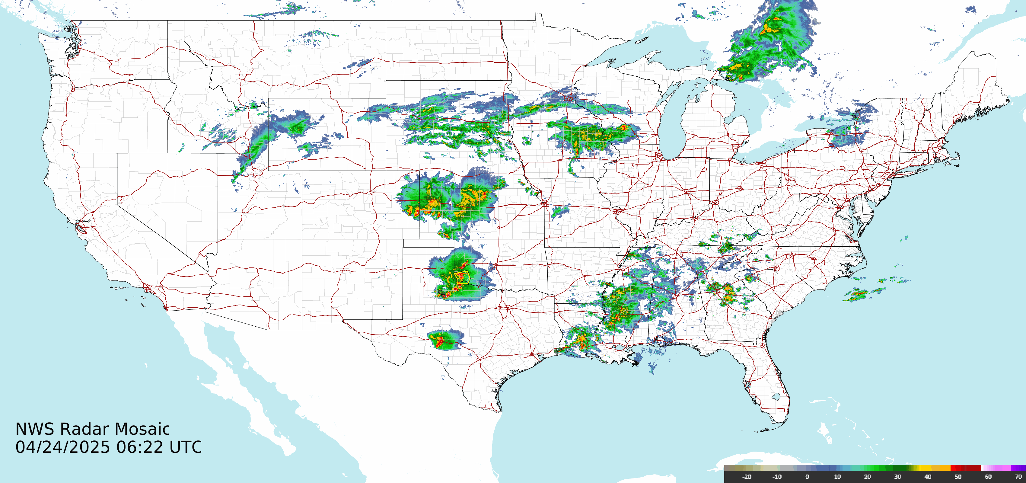
WeatherWatchers.org | ALL U.S.& Territories Radar and Warnings Weather Maps | Current Time Is: Monday, 16-Jun-2025 12:40:59 MDT | ABOUT
UNITED STATES + TERRITORIES + MILITARY BASES Adviories & Radar : STATIC | YESTERDAY'S LOOPS: US | Alaska | Hawaii | Puerto Rico | Guam | American Samoa | South Korea | Japan | Kwajalein

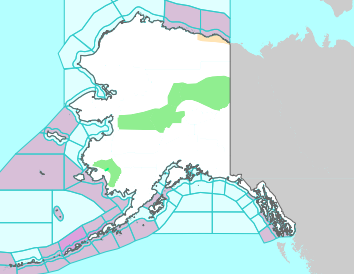
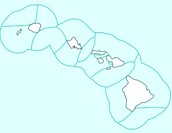
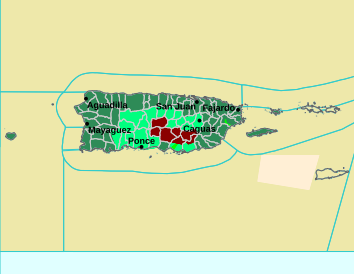
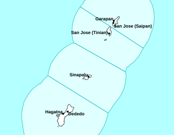
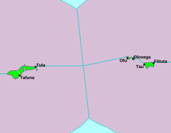
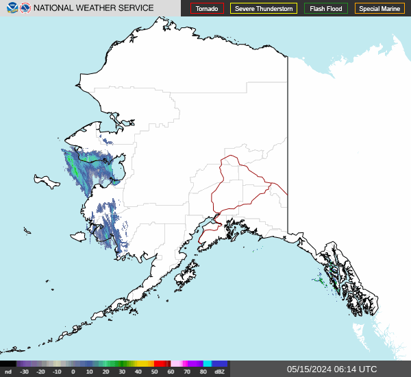
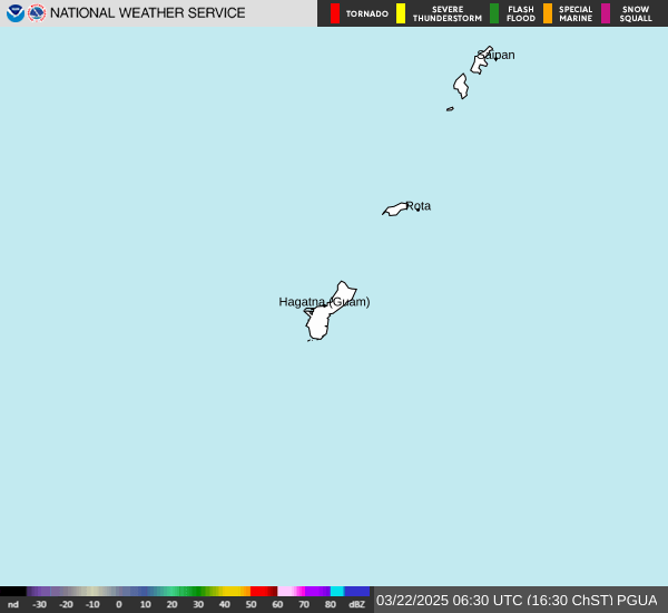
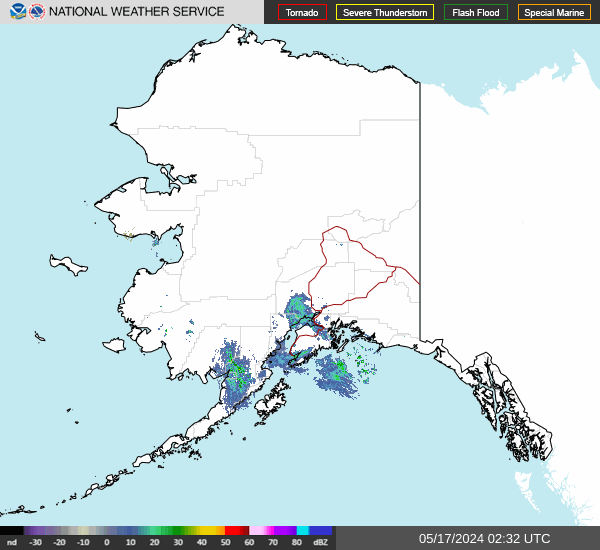
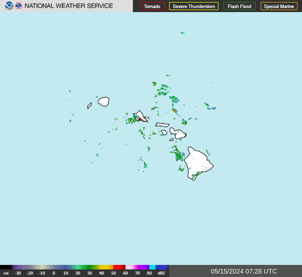
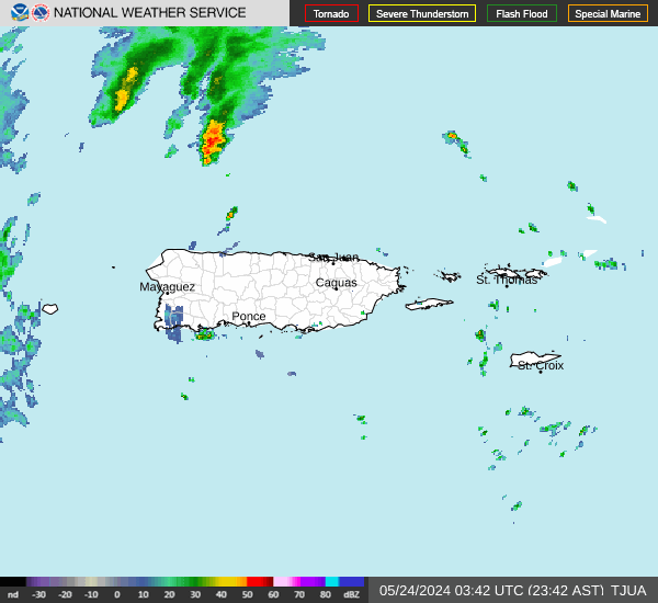
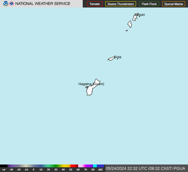
RADAR: US | Alaska | Hawaii | Puerto Rico | Guam | American Samoa

RADAR: Kwajalein (150km & 300km) & SAT | Okinawa, Japan | San Juan, PR TWDR | South Korea (Kunsan AB RKJK & Camp Humphreys RKSG)
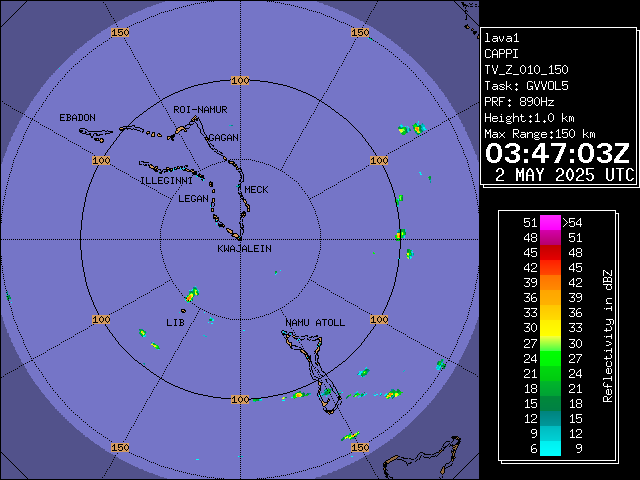
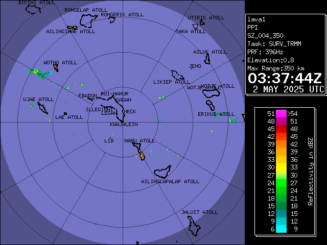
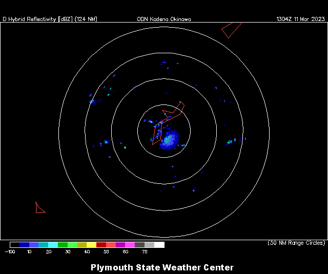
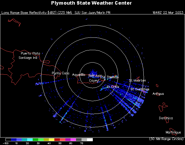
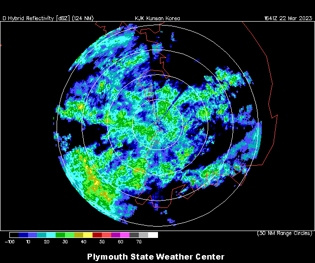
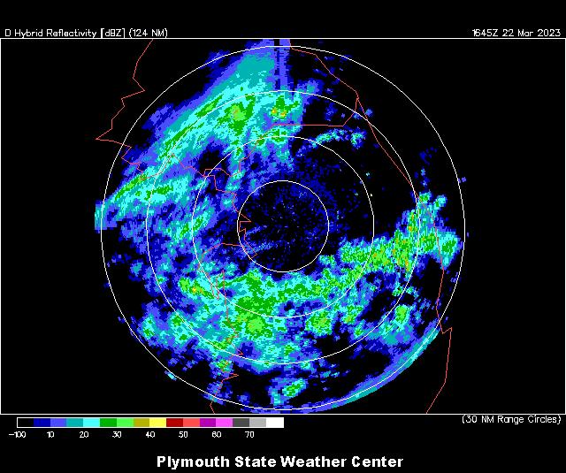
ABOUT THIS PAGE: Did you know? In addition to the Continental United States, the U.S. National Weather Service has offices and produces radar and advisory maps for Alaska, Hawaii, Puerto Rico, and the U.S. territories of Guam (Tiyan) and American Samoa (Pago Pago). In addition, the U.S. Military has installed NEXRAD WSR-88D radars at these Army bases: Okinawa Japan, Kunsan AB (RKJK) & Camp Humphreys (RKSG) in South Korea and makes the radar data available through the U.S. radar system. The military also operates an S-band Dual-Polarized Doppler Weather radar from Kwajalein Army Base on Kwajelein Atoll in the Marshall Islands. Until now, all these resources were not available in one place, nor were they archived, which I am doing at home click on "Yesterday's Map Loops" for access to GIF animations from yesterday. The Okinawa and South Korea radar images are only available dynamically from Plymouth State's weather system, where I download them once an hour for display here. NOTE: There is no radar installed at American Samoa. In this case I use APIs to show simulated radar from satellite-estimated precipitation data.
ABOUT THESE PAGES: These full-screen grid pages are meant to be displayed Full Screen at 1920x1080, though if you use CTRL+/CTRL- on your keyboard, you can adjust the size. Most pages refresh every few minutes; because this page only updates once a day, it does not refresh. Questions or recommendations for more maps to archive? Contact me on Twitter @WeatherMatrix. (BACK)