The Raleigh Tornadoes of Apr 15 1996

Homemade Map-O-Tornado By J
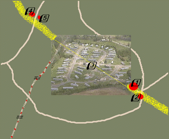
This is a hand drawn, not to scale map of the tornado's track through the town of Zebulon, NC. The WestSide Trailer Park is shown at center, from an aerial photo by WRAL. The tornado's track is shown in yellow.
Comments and more coming soon.
This page was created 4/18/96 by J. Ferrell
This page last modified 4/21/96 by J. Ferrell
This Page Served Non-Locally Over
Times Total Since It's Inception
* SEARCH *
FEEDBACK * ABOUT *
PROBLEMS? *
NOTIFY U OF CHANGES *
Standard Disclaimer Applies to this
and all pages.

