|
Being under an upper level
low pressure system in Pennsylvania meant a chance for unusual "good"
thunderstorms - slow moving single cells, near CASI HQ. Although the
SPC outlooks were not impressive, the storms were, for both Saturday
(15) and Sunday (16) - see also the Saturday
report with additional lightning video.
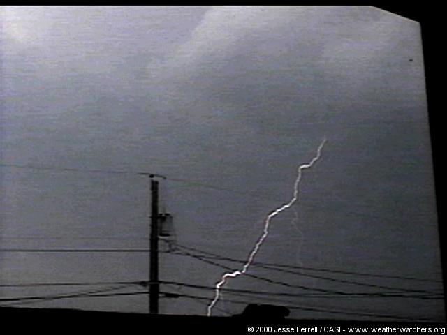
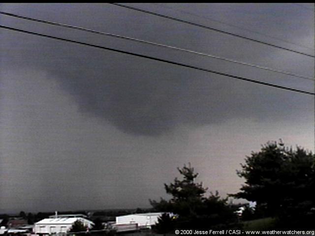
I videotaped two storms on
July 16. The first was around 3pm and I actually missed the first part
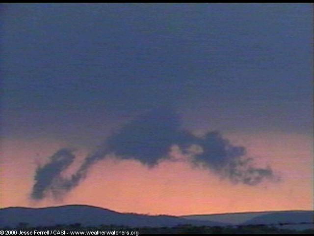
of it because I was away from HQ. A nice lowering that was, or was
close to, a wall cloud, formed, and only the ending stages of it are
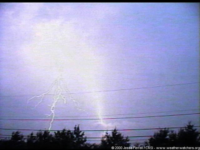
shown below. Later, a second storm (7pm) came over us and I got most
of the lightning shots from it. It increased in strength during its
duration (see nexrad animations) and dropped quite a bit of lightning.
FINALLY after the storm had become worse, a Warning
was issued.
|