Current Weather At CASI HQ: Click Here For More Info |

| MAIN | STORM REPORTS | US SEVERE | MEMBERS | JOIN CASI | HELP/CONTACT | CAM |
|
Central |
|
|||||||
| Atlantic | |||||||||
| Storm | |||||||||
| I
n v e s t i g a t o r s |
|||||||||
|
|||||||||
|
Thunderstorms |
|
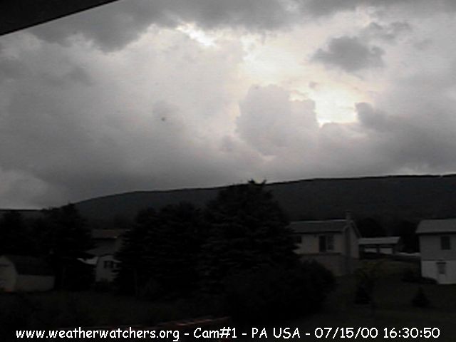
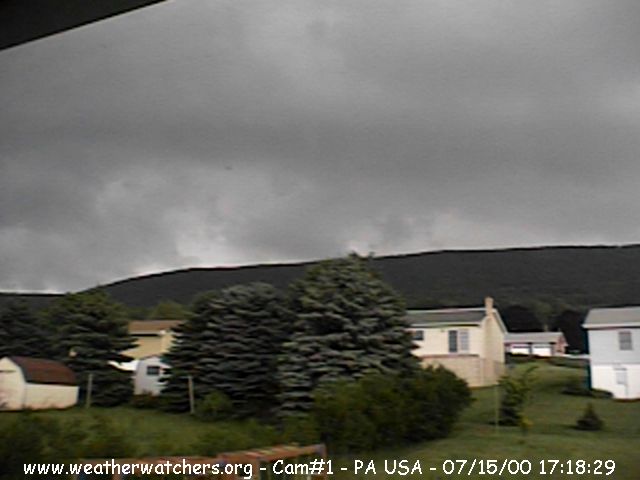
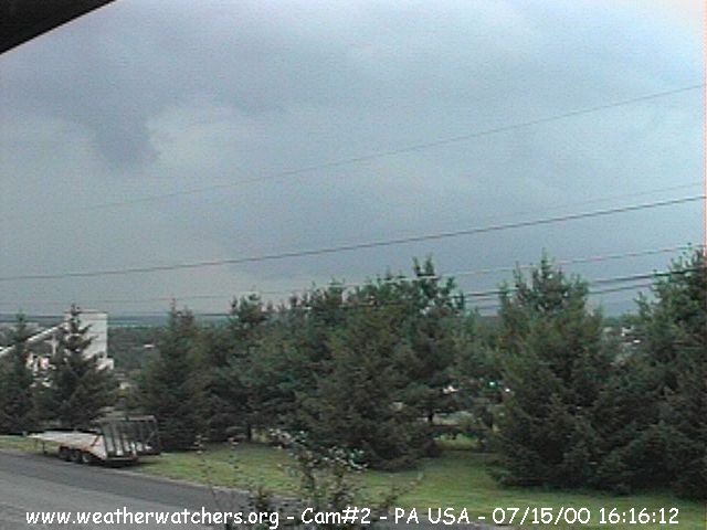
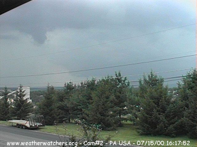
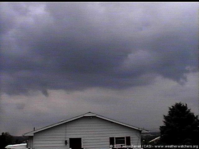
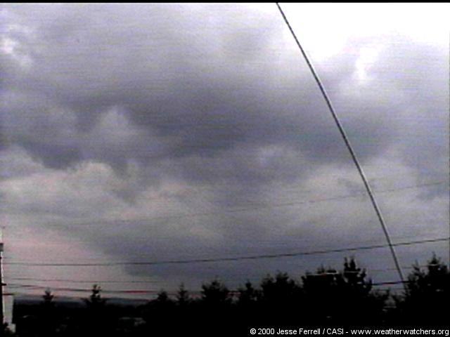
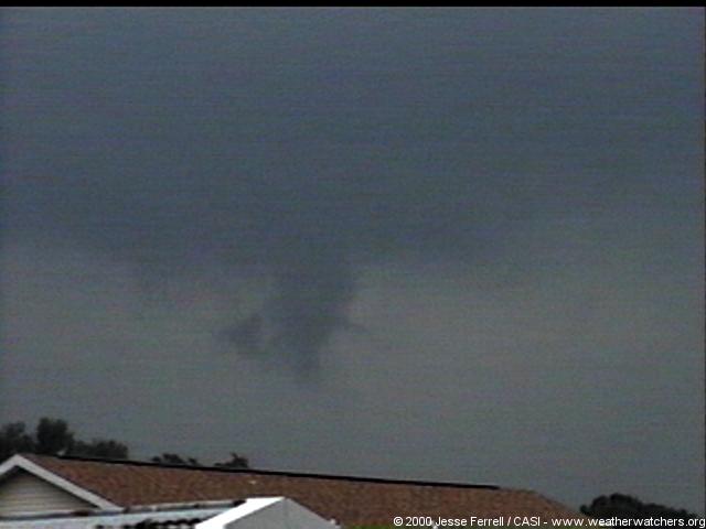
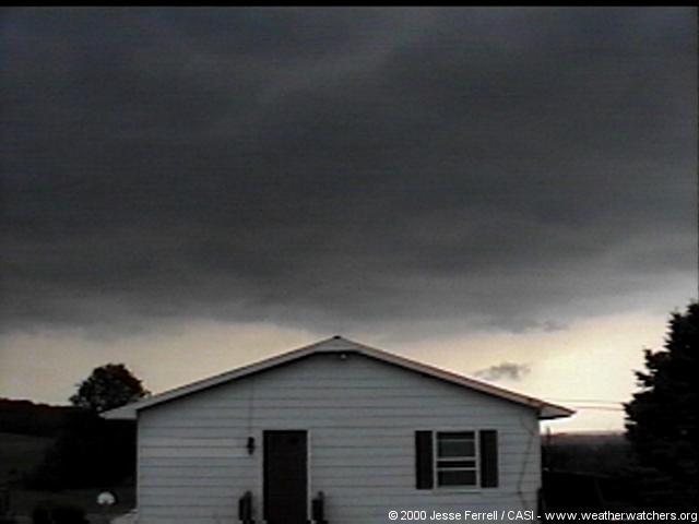
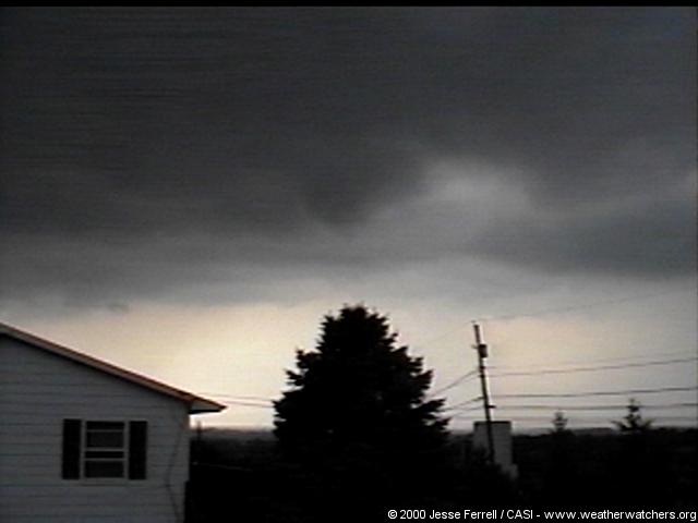
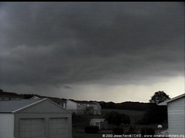
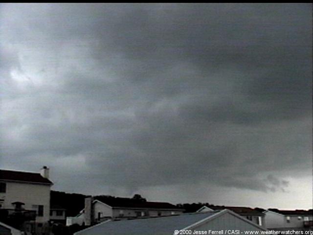
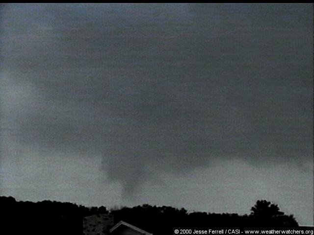
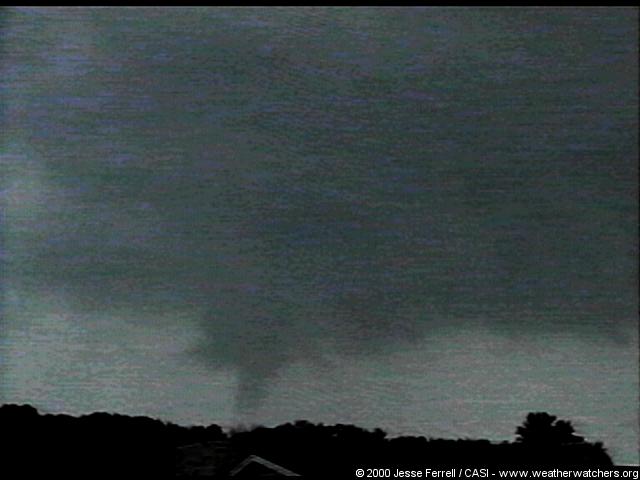
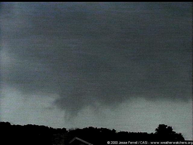
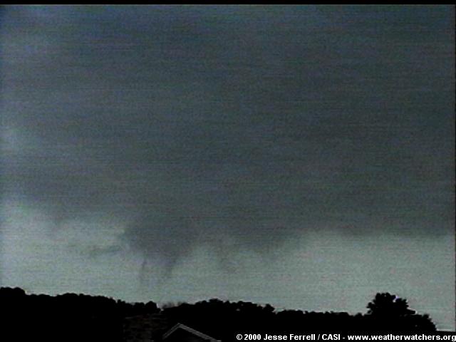
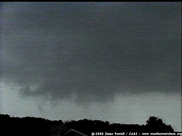
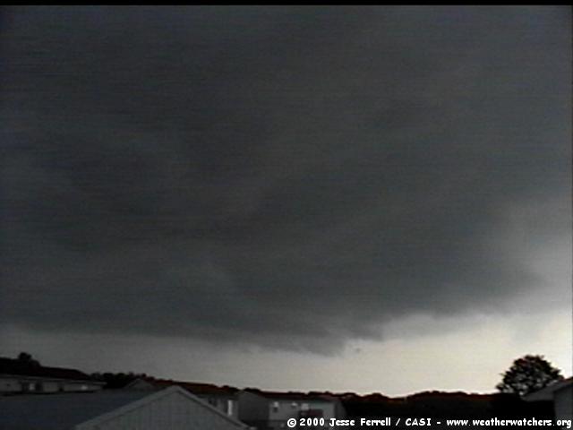
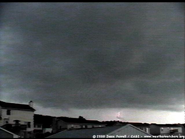
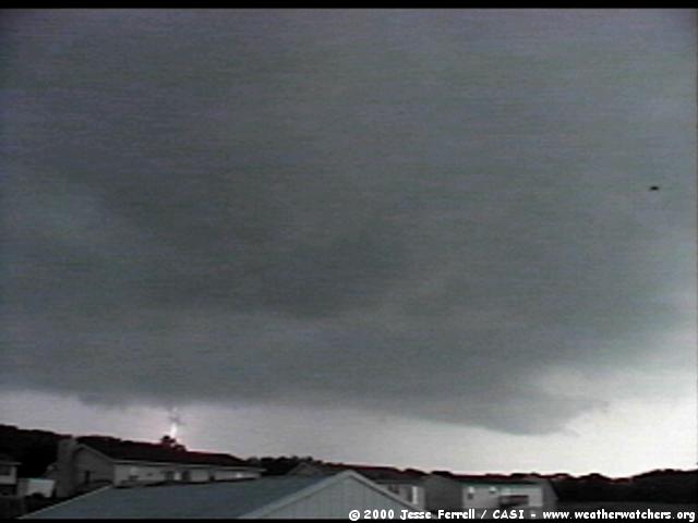
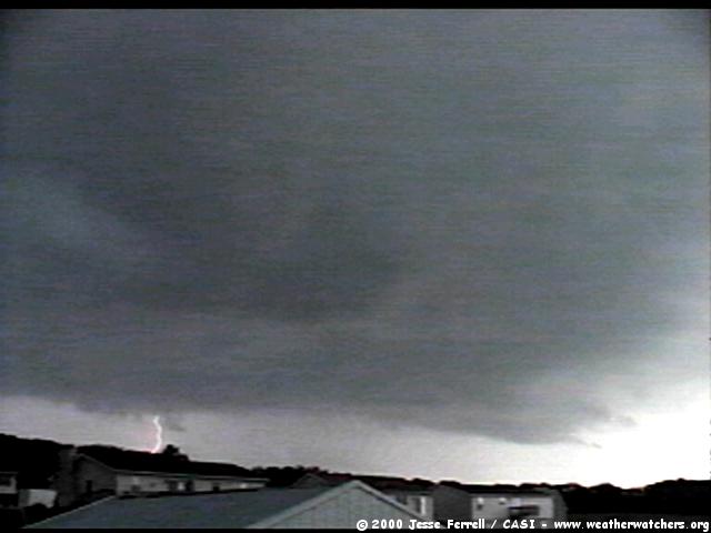
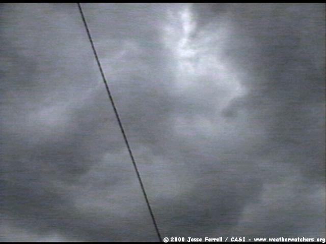
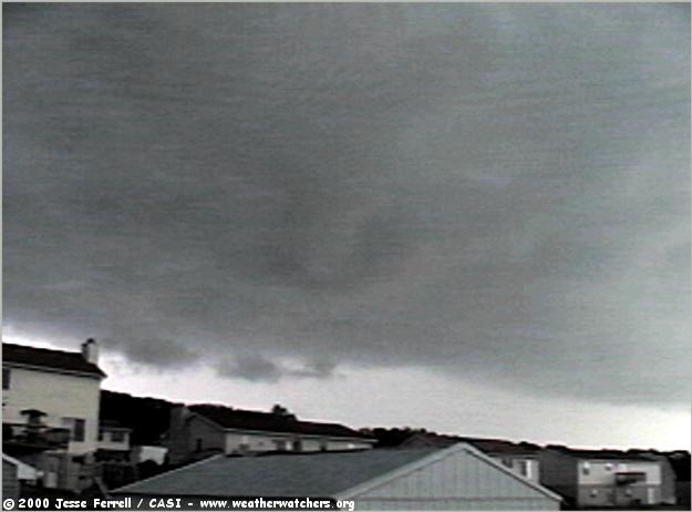
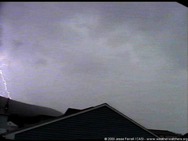
Being under an upper level low pressure system in Pennsylvania meant a chance for unusual "good" thunderstorms - slow moving single cells, near CASI HQ. Although the SPC outlooks were not impressive, the storms were, for both Saturday (15) and Sunday (16) - see also the Sunday report with additional lightning video. For the HQ shots below, two storms (see radar animation) were near HQ at the same time (a rare chance around here!). The one to the South grew stronger quicker and was closer so most of the shots are of it.
CASICAMs Catch Interesting Storm Shots! Click On Any Image For FULL SIZE Image!
Cloud & Lightning Pictures From CASI HQ! Approximate Chronological order. Click On Any Image For FULL SIZE Image!
|
© 2000 Central Atlantic Storm Investigators |