Current Weather At CASI HQ: Click Here For More Info |

| MAIN | STORM REPORTS | US SEVERE | MEMBERS | JOIN CASI | HELP/CONTACT | CAM |
|
Central |
|
|||||||
| Atlantic | |||||||||
| Storm | |||||||||
| I
n v e s t i g a t o r s |
|||||||||
|
|||||||||
|
Severe
Thunderstorms
|
|
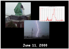
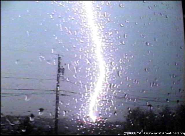
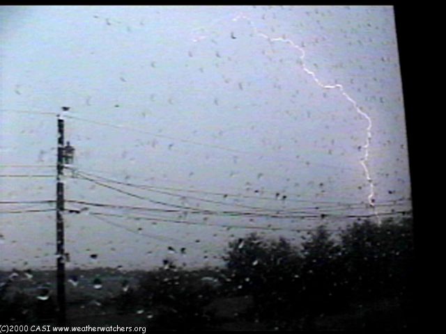
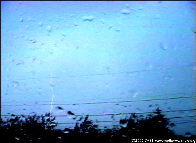
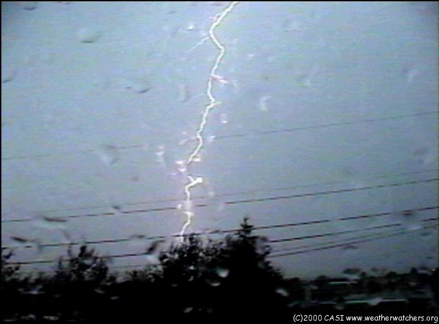
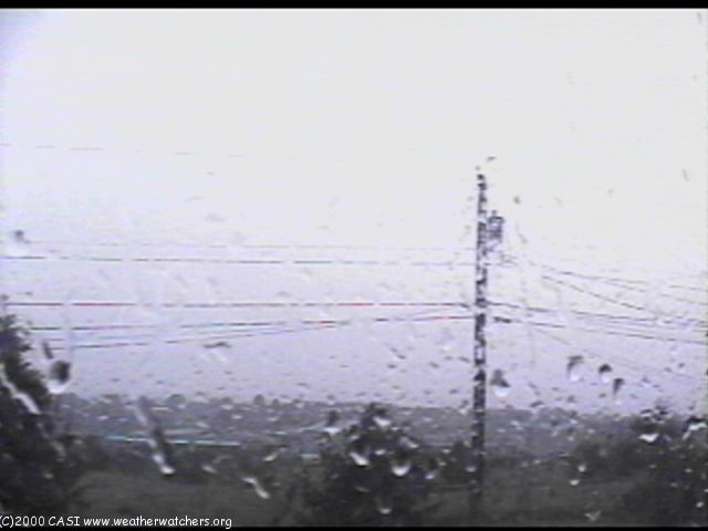
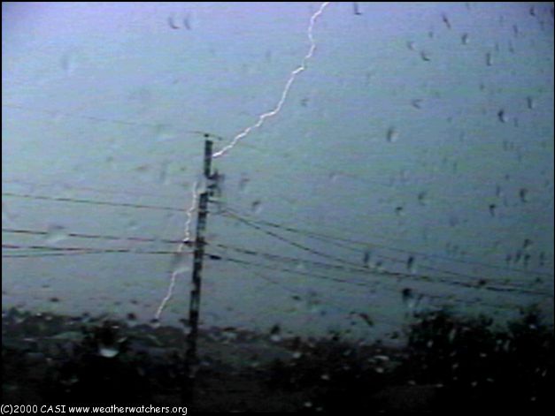
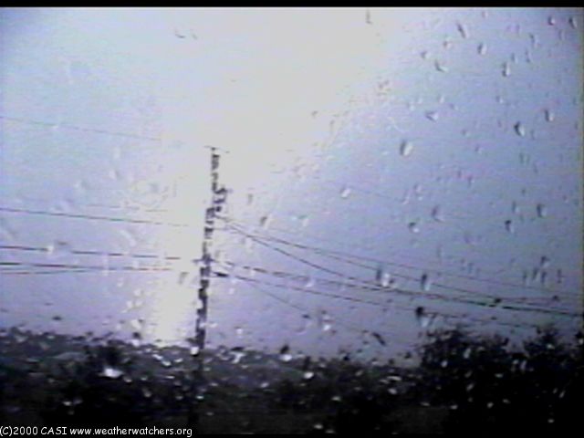
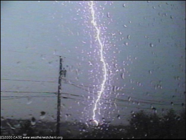
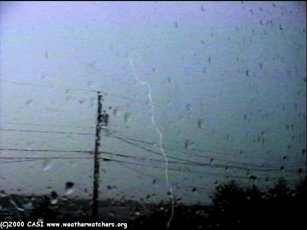
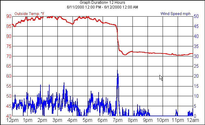
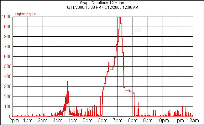
The following are reports from CASI Members and others regarding the thunderstorms and severe thunderstorms on Sunday June 11, 2000. In The CASI-SR Email List, CASI Founder Jesse Ferrell writes... "Last night two storms passed near CASI HQ here in Central PA. The first at 5pm brought thunder and some interesting clouds but missed us to the East. The second at 7pm brought a downpour and 39mph gust, along with a 20 degree temp drop similar to what Mike reported below. There was a LOT of lightning with the second storm, more than I've seen in at least a year, maybe two. See Lightning Graph from CASI Weather Station CASI2. The lightning strikes in the video below are facing N and E out my front window, and are from the 7pm storm. A good friend on I-80 in Montour County at the time that the two red cells in the Radar Animation converged, reported scary conditions, high winds, and downpours. In The CASI-SR Email List, CASI Member Mike Sawyer writes... "In Danville, Pa today, we had a temperature drop of about 25 degrees (95F to about 70F currently) in about 30 minutes as the storms rolled through. Some impressive mammatus clouds and green sky, with some low level scud clouds racing to the southeast. Sustained winds were guesstimated at about 35-40 knots. These finally let up around 8PM. Lots of trees down and plenty of wind damage all over the place. I would have reported earlier but I was called out twice in one hour for trees down on power lines and the lines were arcing over onto them. Mike(y) W3SLK" Additional Reports...
LIGHTNING VIDEO CAPTURES FROM CASI HQ. (C) 2000 CASI Founder Jesse Ferrell. Click On Image For Full Size Picture.
|
© 2000 Central Atlantic Storm Investigators |