|
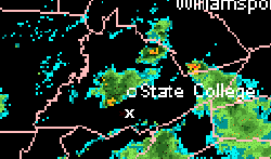
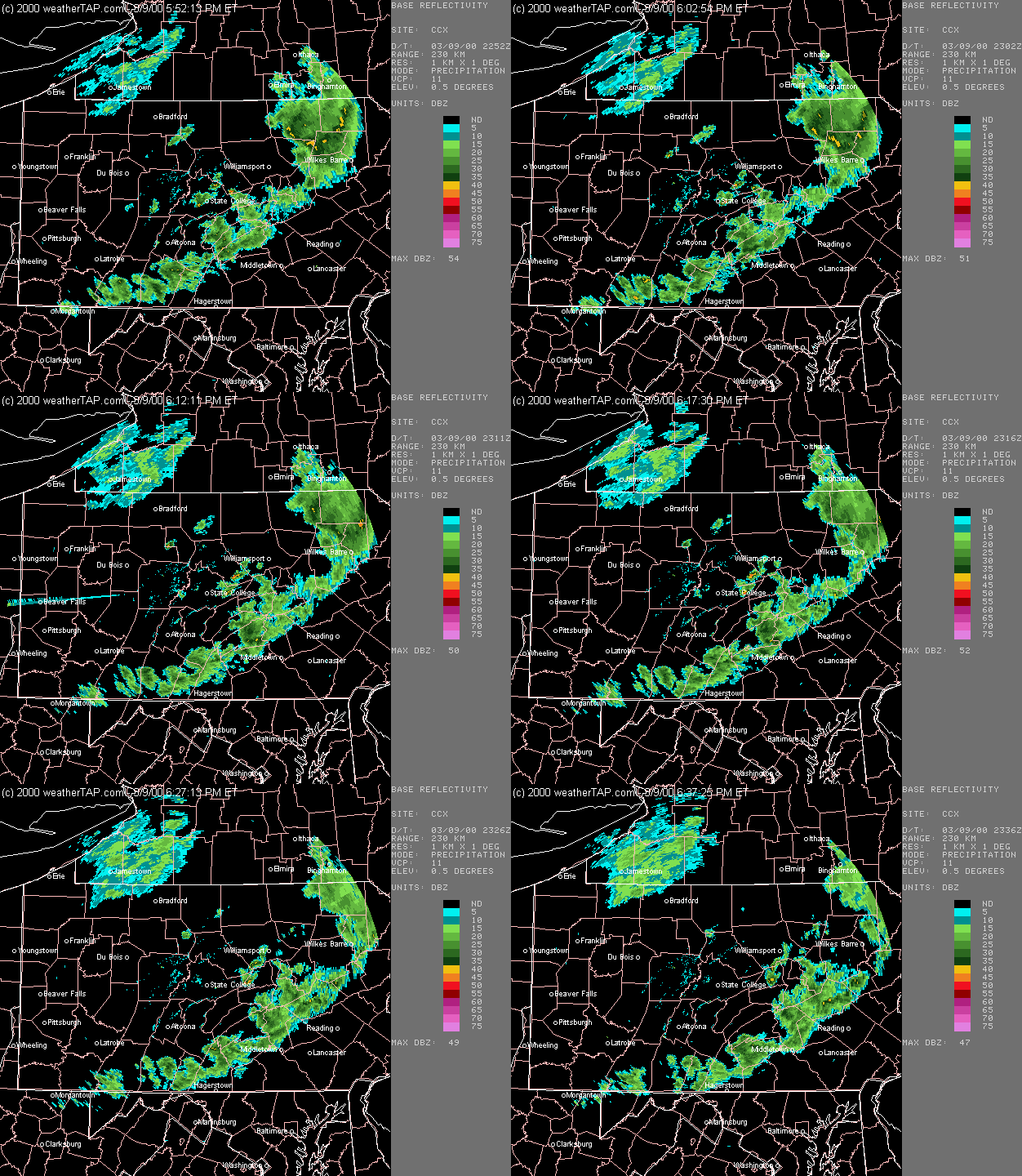
X = My Position, Storm To My NW
(C)2000 WeatherTap
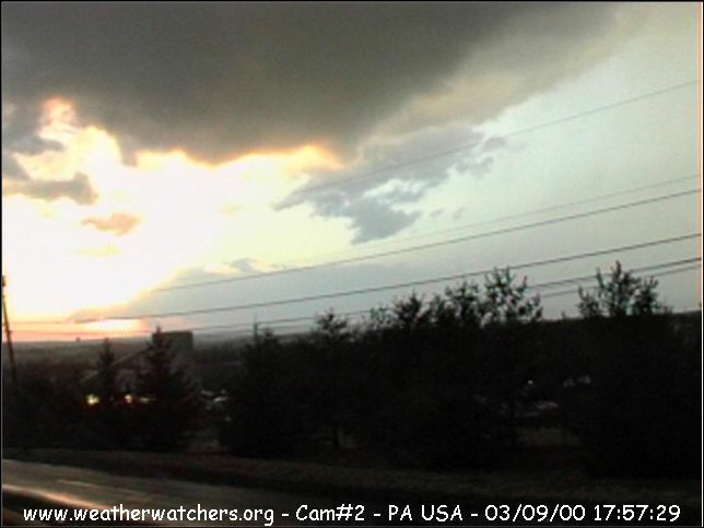
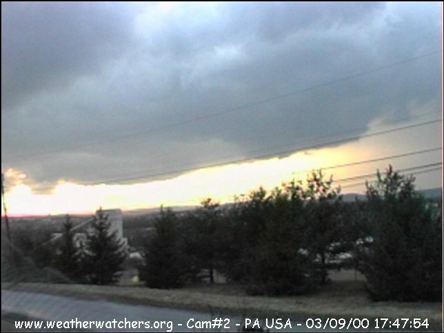
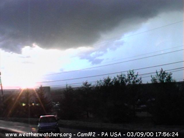
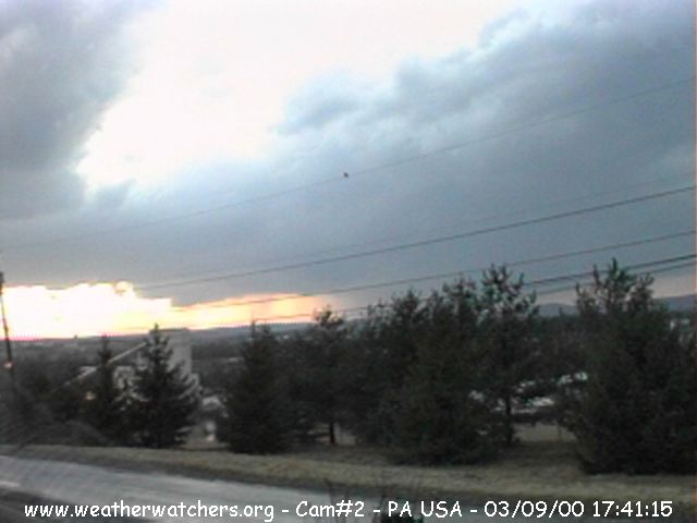
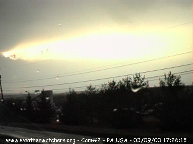
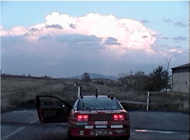
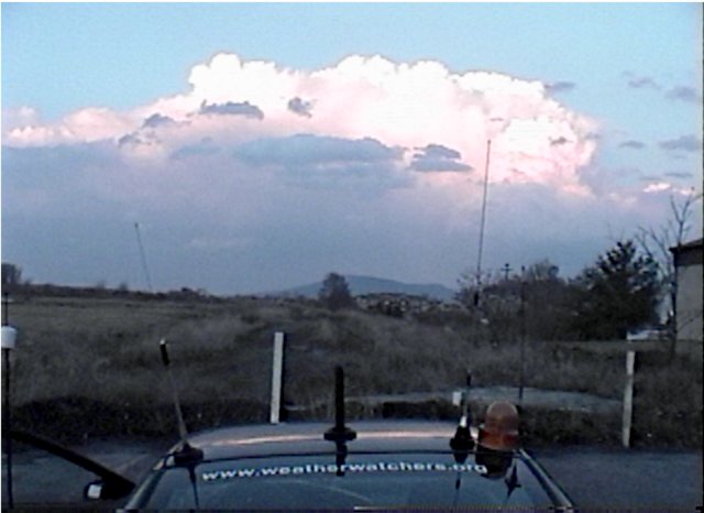
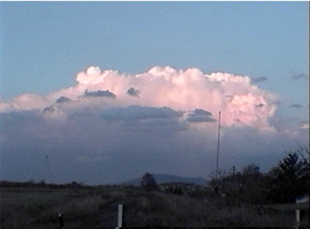
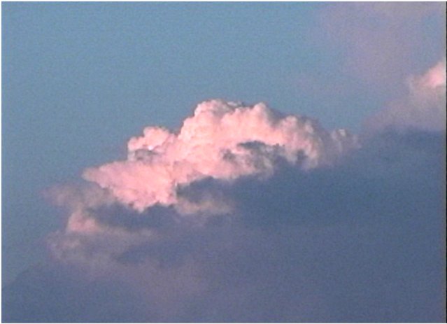
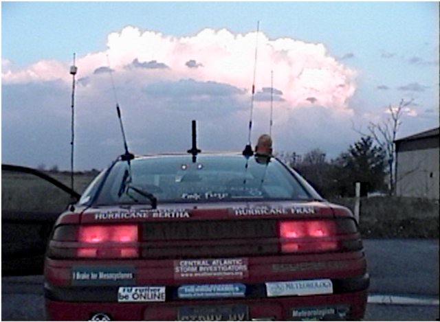
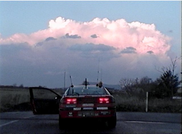
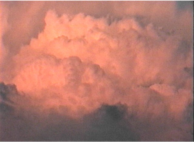
An early season thunderstorm
(formed the day after Record High Temperatures)
passed just North of CASI HQ on March 9, 2000. It
wasn't very strong, but it was the first of the year. The most amusing
thing was that I was videotaping the thunderstorm cell while the
weatheradio warned: "SATURDAY...CLOUDY WITH RAIN
LIKELY...POSSIBLY BEGINNING AS FREEZING RAIN. .SUNDAY...COOL WITH
SCATTERED SNOW SHOWERS." Other storms formed in PA & NY under
a Slight Risk for severe thunderstorms. A Severe Thunderstorm Watch
was in effect for most of New York that afternoon.
Click on any picture to view full
size.
 |
 |
 |
 |
 |
 |
 |
 |
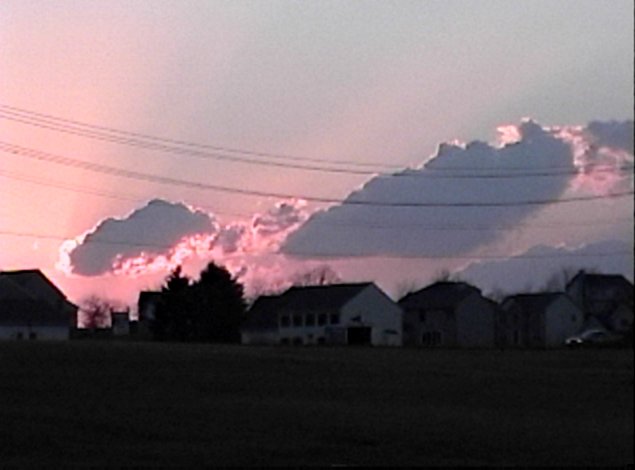
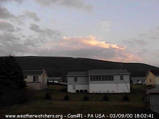
SUNSET (In opposite Direction) |
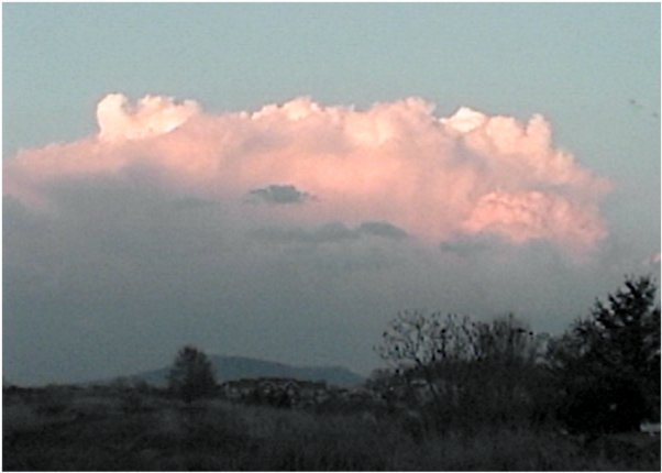
The CASICAMs
also caught some neat shots just outside of the storm.
|