|
A line of severe
thunderstorms was approaching CASI HQ on the
evening of July 9, 1999. As the line approached the house, I figured
that this would be as good a place as any to see the storm, so I went
two roads up Mount Nittany from HQ and setup the videocamera on tripod
at about 9:15pm. I video'd until near 10pm when the line came roaring
through. I saw some very interesting features in the storm that were
backlit by lightning as I later watched the video, and have captured
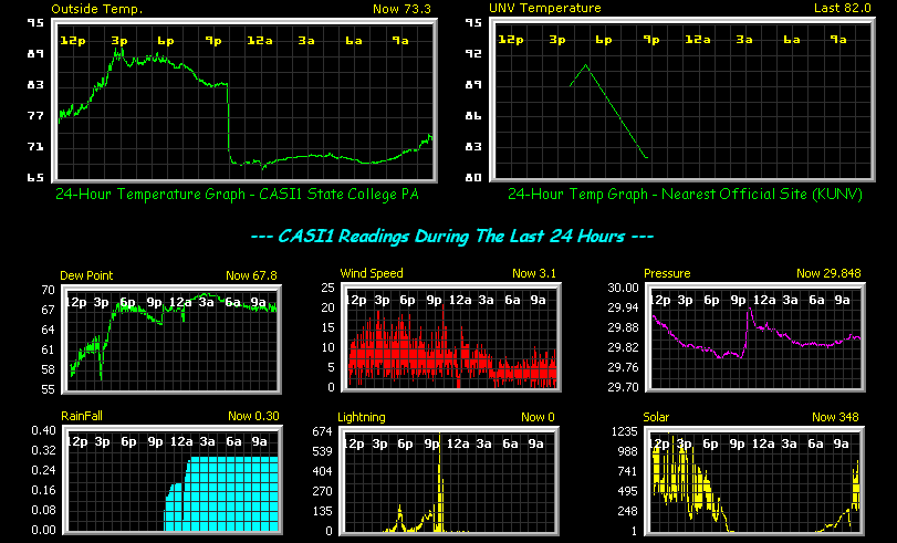
some of them here. Winds gusted to 61mph downtown but I only received
31mph in the car and 27mph at HQ, as I was coming in on the top of the
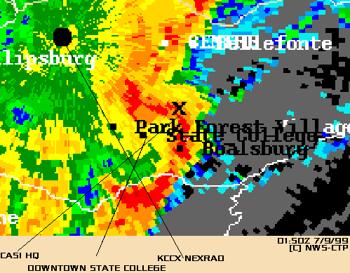
small bow echo (see Zoom NEXRAD
picture).
Other links regarding the
storms are below (note: HQ is in the center of PA):
Comments on the video
captures below. These pictures were taken from 9:20 to 9:50 pm on
7/9/99 from a position on an unnamed road just south of Jalice Ct. in
State College PA. I was looking NNW. For a zoomable edited map of the
area click here.
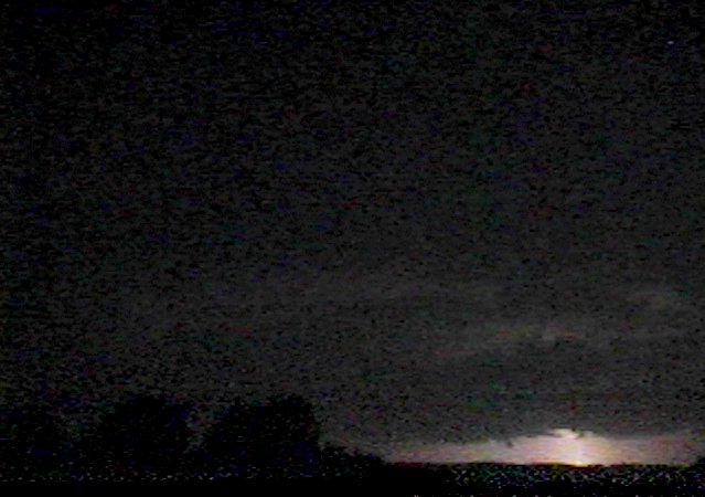
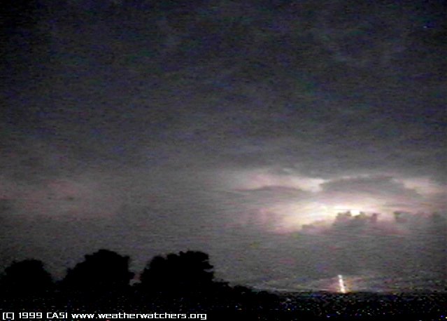
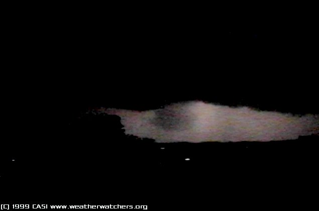
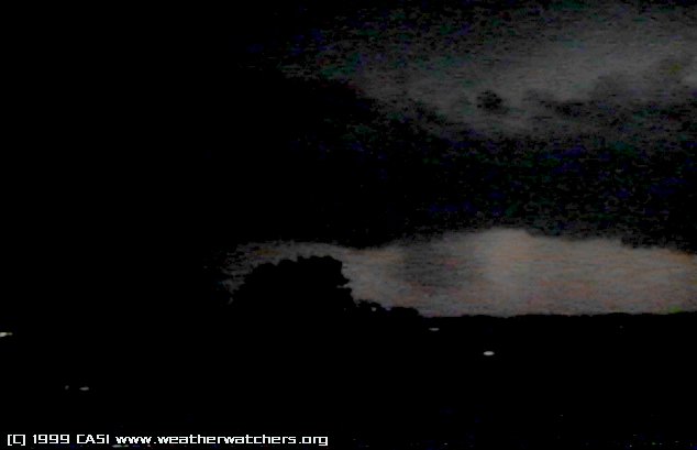
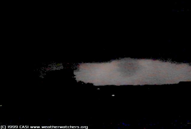
#1-2. This was a strike behind
the mountain range early on in the storm.
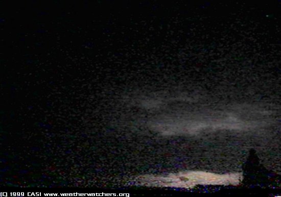
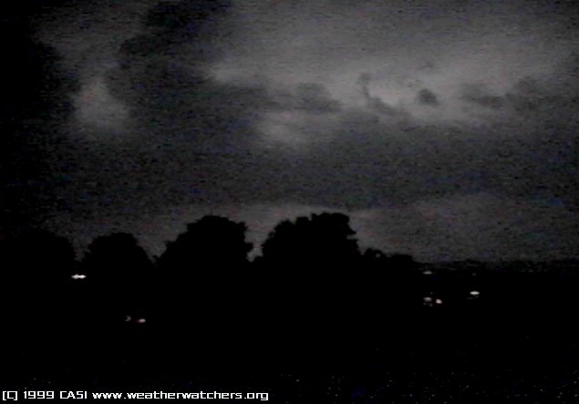
#3.
First "What the hell was that?" between the strikes - scud
clouds.
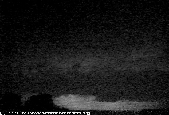
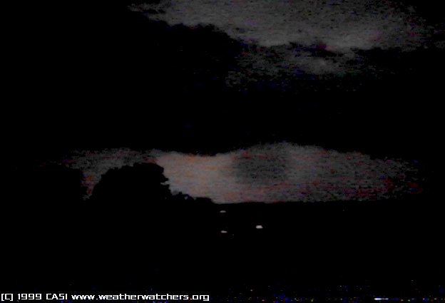
#4. Possible wall
cloud early on in the storm.
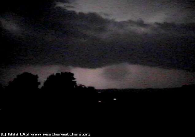
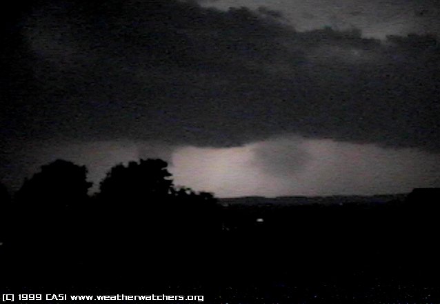
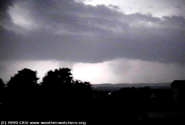
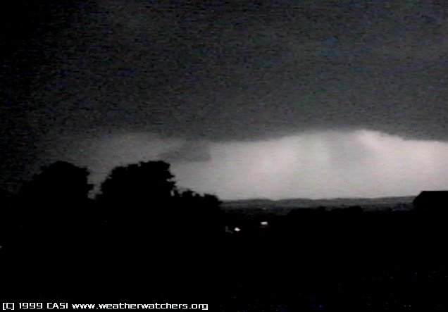
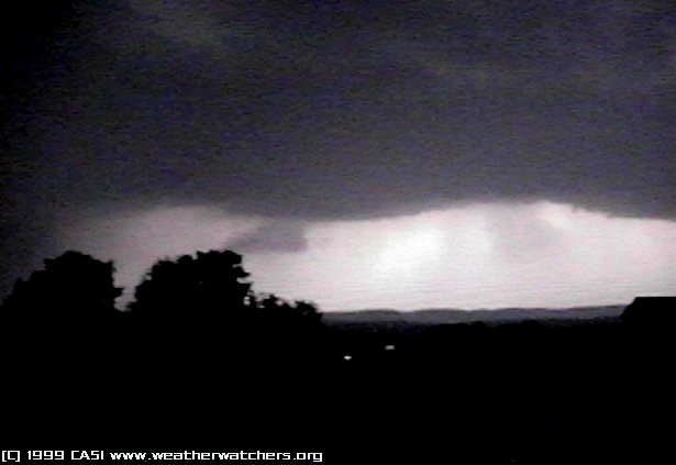
#5-7.
This was a good while later, right before the rain hit. The first
noticeable feature of interest is a circular object just to the right
of the trees. This looks to me like a round wet microburst, the likes
of which I once got on film once in Asheville NC. I never did upload
that photo for one reason or another but I'll get it online eventually
and when I do, I'll link it from here. Anyway, #5 shows the first sign
of it. #6 is an exaggerated contrast shot which shows clearly that the
object is fairly thick, certainly a good burst. In #7 we get a better
feel for the upper features of the storm when lightning strikes in a
higher altitude. This is the gust front heading for us.
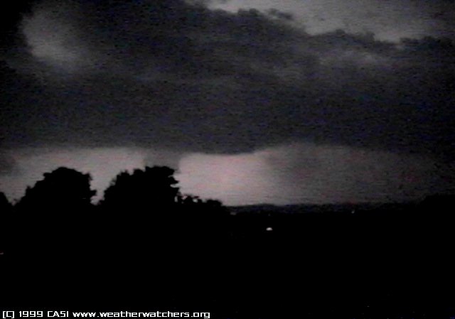
#8.
More higher cloud features. That could be an updraft chamber on the
left, when you see in the next photos what is about to drop out of it.
#9.
Now something interesting is appearing behind the last tree. I have
shifted camera positions now so that I can be *inside* the car as the
lightning has reached about 45° in the horizon.
#10.
These strikes illuminate the features above and below the gust front.
The object behind the tree is scaring me at this point - I can't tell
exactly how far away it is and worse I can't tell how far to the
ground it goes.
#11-13. More
shots, one powerful strike confirming the shapes of the object.
#14.
Another exaggerated contrast shot shows that the object behind the
tree, (which I can now see the edge of and tell it's not a tornado :))
is pretty solid, indicating that it's likely a wall cloud of sorts.
Especially when compared to the microburst, which appears paler
(although that may have been a result of the lightning and the fact
that the microburst was thinning out at this point.
#15-16.
A minute later and the wall cloud is visible for all to see behind a
close strike. Notice the microburst is over and is dissipating. The
rain started about this time (pretty close to the Zoom
NEXRAD image time of 1:50Z (9:50pm)) and all features were lost
within a minute as the heavy rains and winds came over my position.
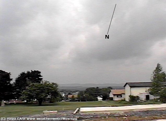
#17.
A daytime shot of the area in which the pictures were taken. See also
the map. |