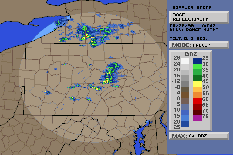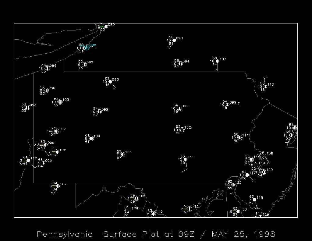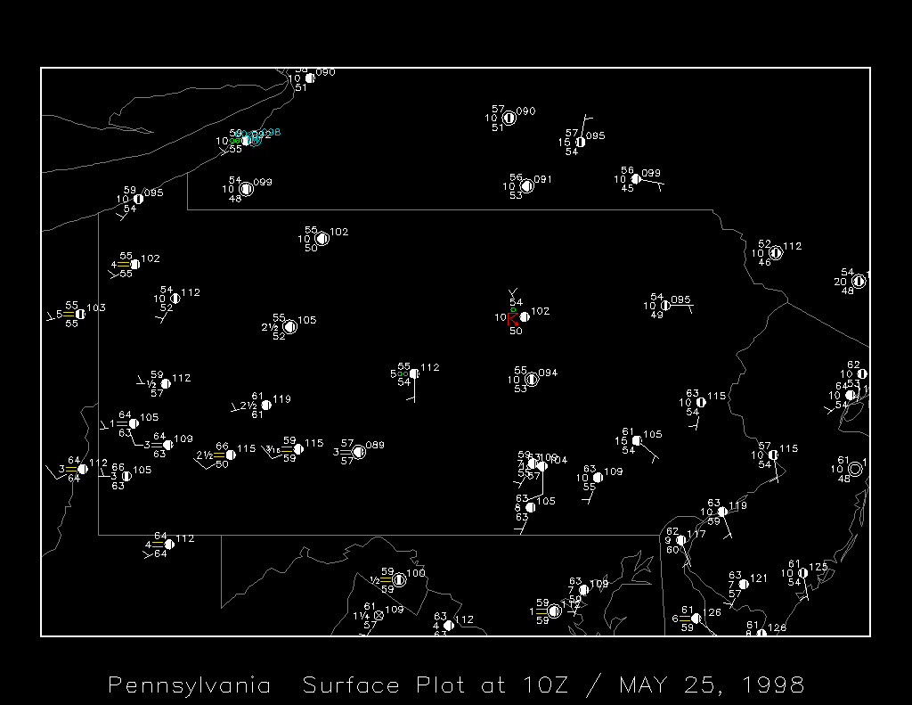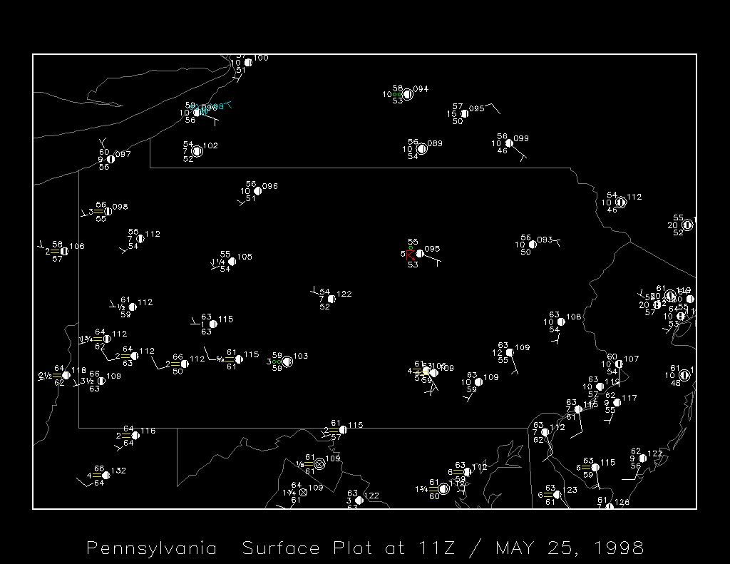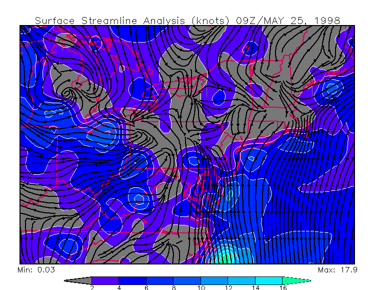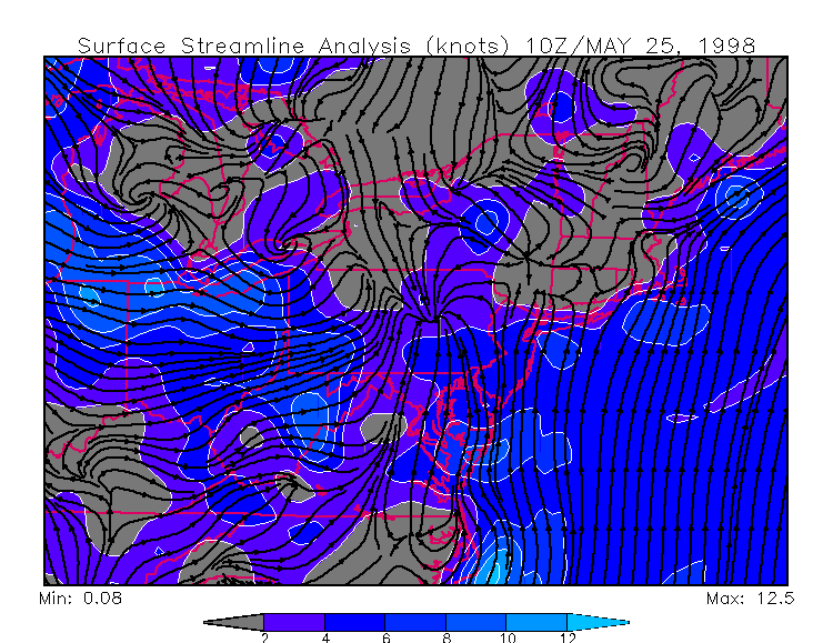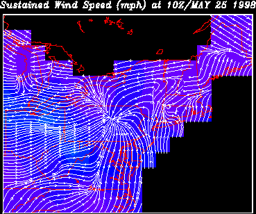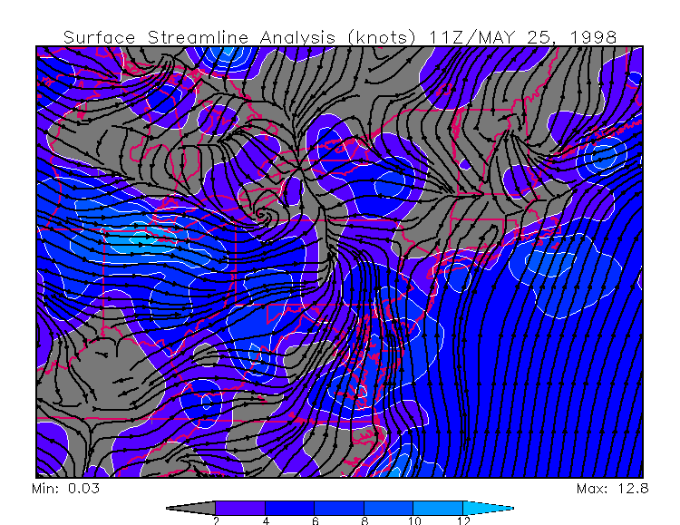
I awoke at 5:30am at HQ to loud thunder. Springing to life, I jumped in the shower and threw in the contacts. Severe weather had all but disappeared for PA this year and I didn't want to miss a bit of it. And there's nothing like a morning thunderstorm, especially a severe one - you know the atmosphere is volatile!
Loud thunder was crashing all around me as I turned on the WeatherRadio and the Weather Channel simultaneously. A Severe Thunderstorm Warning had been issued for Centre County, the location of HQ.
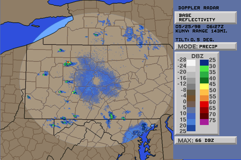
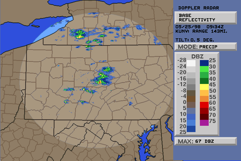
Then the rain and wind hit. Gusting only to 22mph it sounded louder as the downpour crashed down around me. A little cursing now as I gathered my chase gear - it was getting light already and I could see scud at a glance out the kitchen window... a storm like this at this time of morning who knows what could happen. The radar confirmed 67dbZ and I was on my way.
The WeatherRadio confirmed the Severe Thunderstorm was in Pleasant Gap as I headed that way on 26E at 5:45am - definately the earliest chase ever. The storm was about 5 miles ahead of me, and despite the fact that it was Memorial Day, traffic was slowing me down. I could see CG's every few seconds ahead of me. Decent, photographable Cloud-To-Ground strikes, white, yellow, and blue. Of course I didn't have time to stop and observe with the storm heading away from me at about 30 mph. The rain was still tremendous and I was careful not to hydroplane.
I hit 144S attempting to enter Centre Hall just behind the storm; washout on the Mountain on 144 made travel slow as I avoided litter and small boulders.
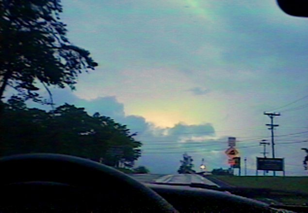
At the top of the mountain I was greeted by a series of lightning strikes between the clouds.
The rain had just ended; downed leaves indicated hail or high winds, and waterfalls poured off the mountain and across the road as I made my way into Centre Hall.
I pulled to the side of the road to check the map as the next Severe Thunderstorm Warning was issued. I had come to my first of many quandaries while chasing in PA - the storm had entered one of the many valleys I shall from now on refer to as "NoMans Land" - no straight way to get there from my location and no roads in the area once I got there.
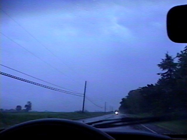
I continued for a moment more on 144S, thinking of intersecting 322, but then at 6:08am admitted defeat when I heard the storm's forward motion had increased to 40mph. I watched the last streaks of lightning behind the fog to my East then turned tail and headed back to HQ.
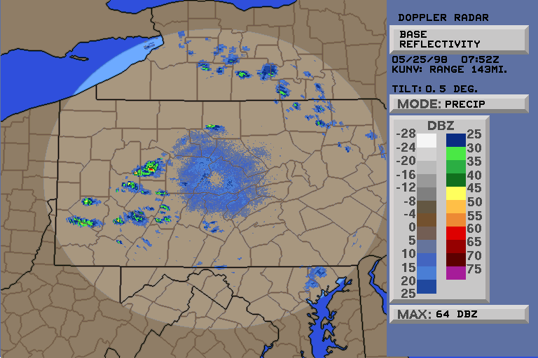
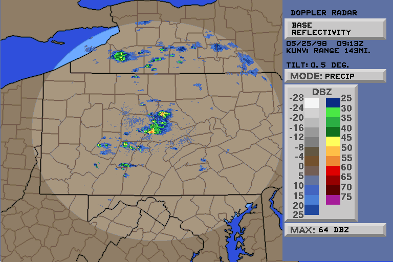
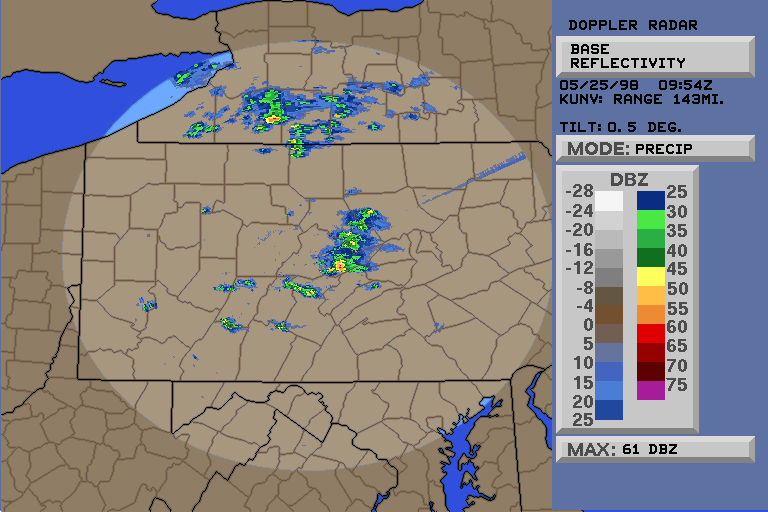
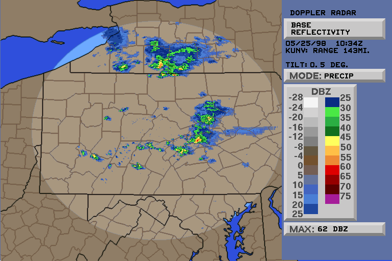
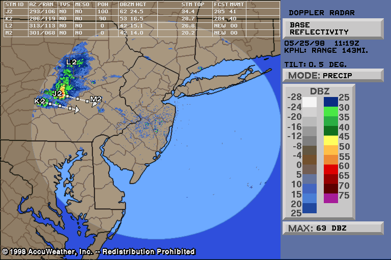
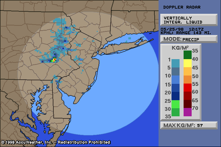
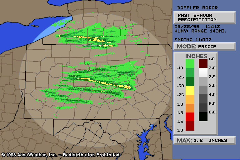
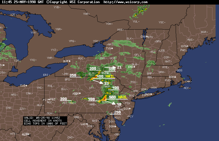
The cell held together very well across the entire state and ended up causing a death due to lightning in the Eastern part of the state (see below for more info).
Timeline:
10:00pm 5/24/98
- With a few showers on radar and a couple
storms in the usually-stormy SW PA but heading SE, and with no Watches
or Advisories in effect, I go to bed expecting the lack of Severe weather
in PA to continue overnight.
2:21am 5/25/98 - (See
Radar) Severe Thunderstorm Warning for Forest County indicates
that the small showers in Western PA are becoming dangerous. I am
clueless and asleep.
3:52am - (See
Radar) Our storm heats up and heads for HQ.
5:05am - (See
Radar) Severe Thunderstorm Warning for Clearfield and Centre Counties
as storm moves towards HQ. My alarm rings and I fall back asleep.
5:29am - Loud thunder wakes me, I decide
to get up and see what's going on.
5:37am - (See
Radar) The full force of the storm hits HQ with heavy rain, frequent
lightning, and high winds. Severe Thunderstorm Warning issued for
Centre County, eastern section. I am looking at the radar for the
first time and see 67dbZ just to the
North of me.
5:45am - (See
Radar) I start out the chase on 26E.
5:51am - (See
Radar) Storm located in Pleasant Gap as I approach that area.
6:00am - (See
Radar) I come into Centre Hall on 144S as the Warning moves to
the next counties over.
6:08am - I admit defeat and return
to HQ.
A summary of the Severe Thunderstorm Warnings Issued
that morning for Central PA:
Cousins to my Severe Cell swung over the NY border and through NE PA during the late morning, prompting more Hail LSR's:
PRELIMINARY LOCAL STORM REPORT
NATIONAL WEATHER SERVICE STATE COLLEGE PENNSYLVANIA
755 AM EDT MON MAY 25 1998

TIME(EDT) .....CITY LOCATION..... STATE ...EVENT/REMARKS...
....COUNTY LOCATION....

0540 AM STATE COLLEGE PA .75 INCH HAIL
05/25/98 CENTRE DIME SIZED HAIL REPORTED 4
MILES NORTH OF STATE
COLLEGE
Unfortunately the storms later claimed a life in Eastern PA when a golfer was struck by lightning:
PRELIMINARY LOCAL STORM REPORT
NATIONAL WEATHER SERVICE BINGHAMTON NEW YORK
1002 AM EST MON MAY 25 1998

TIME(EDT) .....CITY LOCATION..... STATE ...EVENT/REMARKS...
....COUNTY LOCATION....

0745 AM GILLETT PA .25 INCH HAIL
05/25/98 BRADFORD PEA SIZE HAIL IN SOUTH
CREEK TWP

0803 AM TROY PA .25 INCH HAIL
05/25/98 BRADFORD REPORT OF SMALL HAIL

0805 AM EAST SMITHFIELD PA .75 INCH HAIL
05/25/98 BRADFORD REPORT OF LARGE HAIL
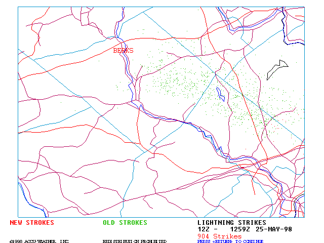
Lightning Images from that morning:
STORM REPORT
NATIONAL WEATHER SERVICE PHILADELPHIA, PA
155 PM EDT MON MAY 25 1998

TIME(EST) .....CITY LOCATION..... STATE ...EVENT/REMARKS...
....COUNTY LOCATION....

0800 AM RUSCOMBMANOR TWP * PA 1 LIGHTNING FATALITY
05/25/98 BERKS COUNTY ON GOLF COURSE

* ABOUT 6 MILES NE READING