
Storm Summary:
After a cold December, a storm system swept through the NE US and dropped a foot of snow at HQ. Within a few days, a new weather pattern had set up, quickly melting the snow to nothing by January 4th. The Heat Wave continued unabated through January 9th, reaching its maximum for the CASI region on the 8th. This warm air was being pushed ahead of a volatile weather system which gave tropical rains (and tropical air) to the Eastern U.S., causing flooding in the Appalachians and severe storms throughout the entire CASI region. It ended in an Ice Storm of huge proportions over Northern CASI territory and Canada.
Archived Data relating to the Overall Storm:
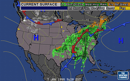
Early Morning 1/7 Surface Map Shows A Large-Scale System |
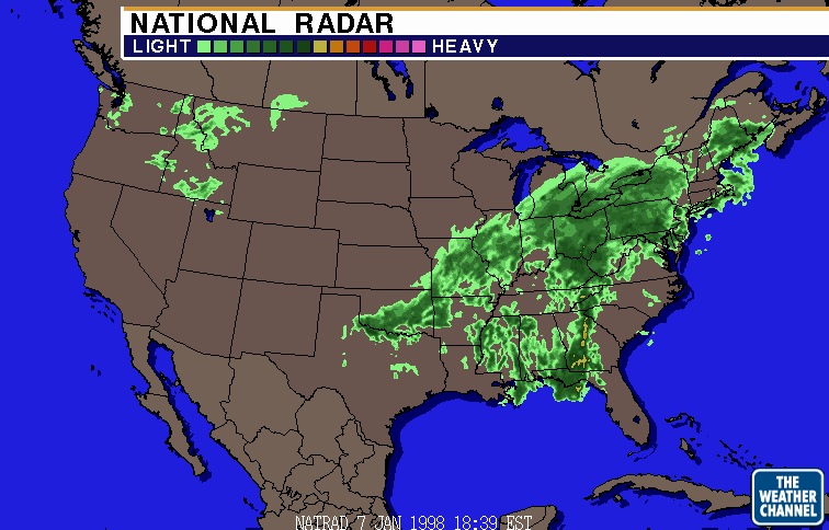
6:30pm EST 1/7 National Radar Shows Widespread Rain |
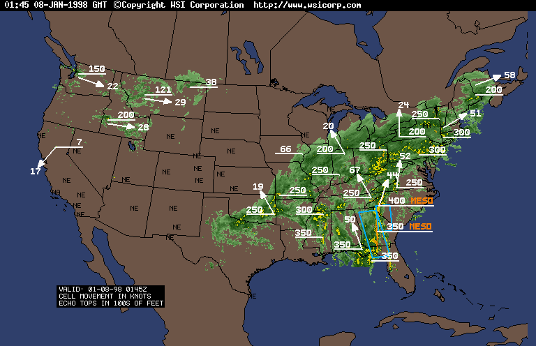
9pm 1/7 Severe Watch Boxes And Mesocyclones Over SE |
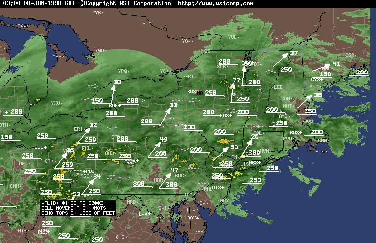
10pm 1/7 - Northeast Is Socked In With Heavy Rain |

10pm 1/7 3-D Satellite Shows NE Under Huge Cloud Mass |
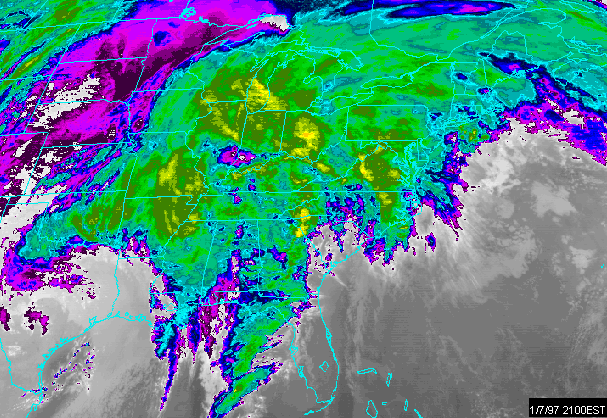
9pm 1/7 Satellite Shows Eastern US Encompassed In Clouds |
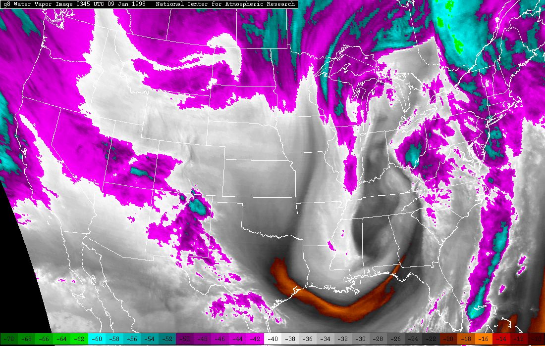
10pm 1/8 Water Vapor Image Shows Upper Level System Wound Up Over SE |