
Central Atlantic
Storm Investigators
Central Atlantic
Storm Investigators
Squall Line
March 5, 1997


Post Storm Investigation (PSI)
The PSI for this weather event involved going over what weather images we had, re-watching the video for captures of the LSI. In addition, a short PSI was conducted on the way back from the LSI, and J. Ferrell submits this report:
On the way back from the LSI, I took 154 east to Oxford then 50 down through Creedmor to return home. The scanner had reported "power lines down" in Creedmor, though I did not see them on my trip through that town. In both Oxford, NC and Creedmor, NC there were some cardboard boxes in the middle of the road downtown, but nothing more than that and a few small branches to report.
WEATHER MAPS FROM THE STORM:
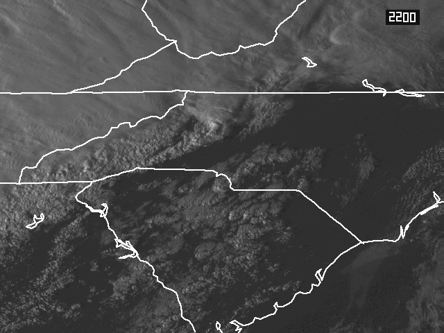 Satellite Shows The Line 5:00 PM |
 Composite View Shows Squall Line Forming East Of Main Rain Area And Notes 2 Mesocyclones 5:16 PM |
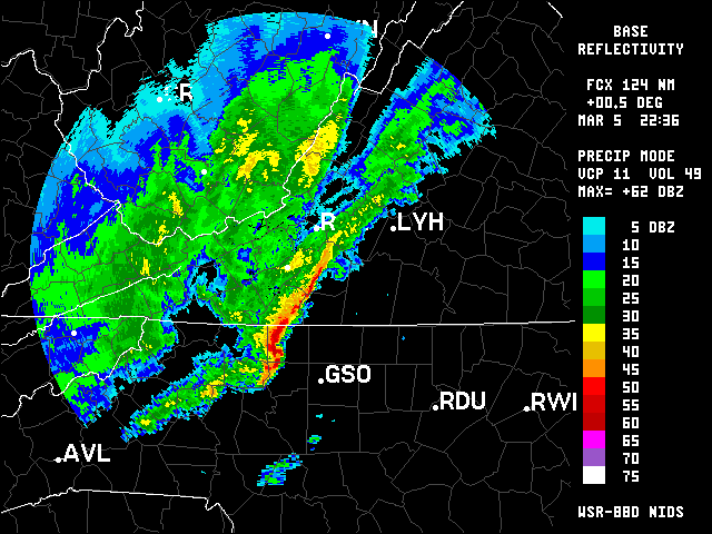 A Closer Look 5:36 PM |
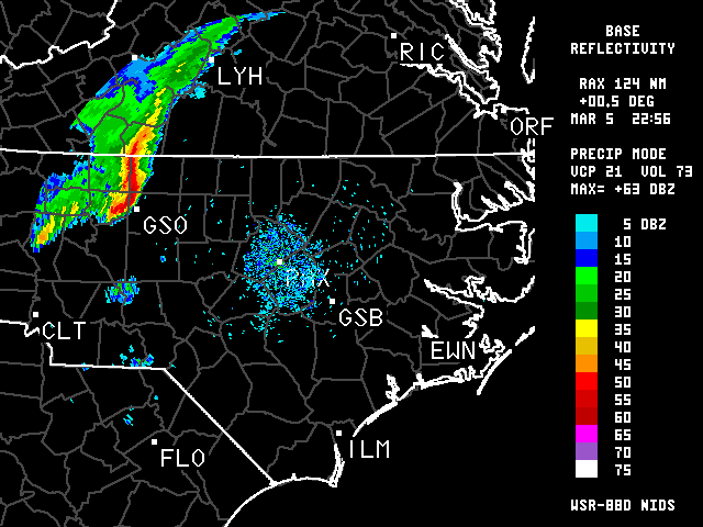 Compact Line Approaches Raleigh, 63 dB (Max was 64) 5:56 PM |
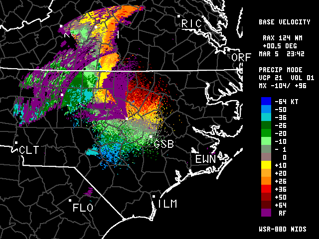 Velocity Data Shows Twisting 6:42 PM |
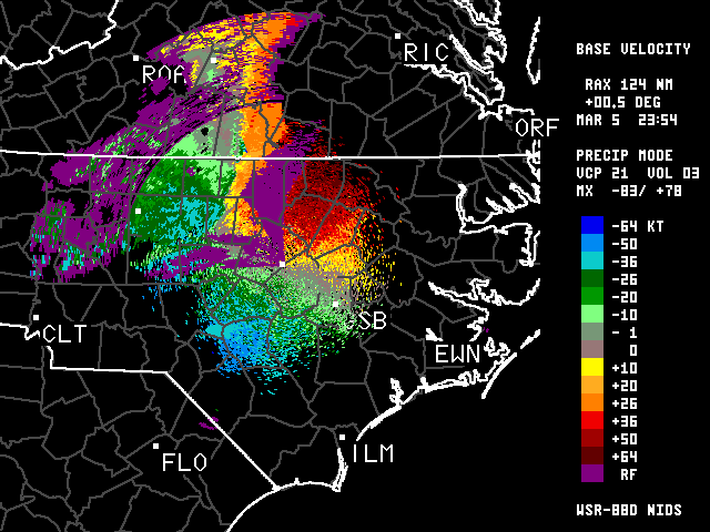 Velocity Data Shows Twisting 6:54 PM |
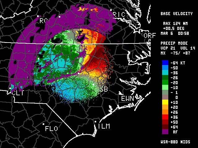 Velocity Data Shows Twisting 7:58 PM |
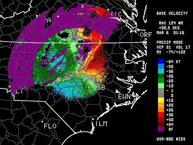 Velocity Data Shows Twisting 8:16 PM |
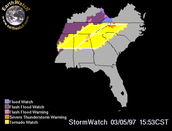 Tornado Watch and Severe TR Warnings 5:00 PM |
 Surface Shows Long Line of Marked Outflow Boundaries Over the SE US 7:00 PM |
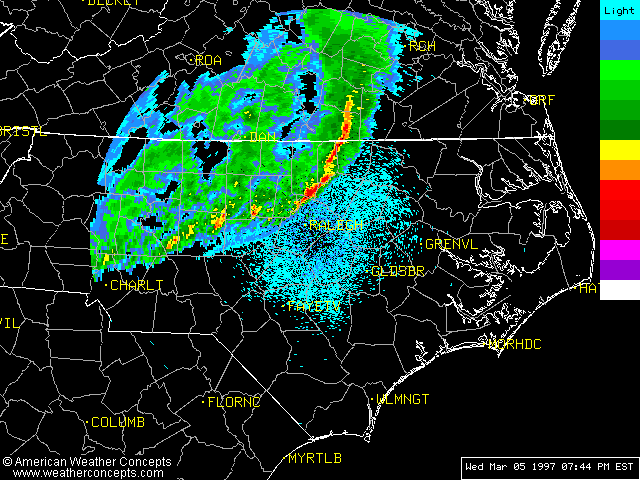 Low Reflectivities Forming Bow Echo Southward 7:44 PM |
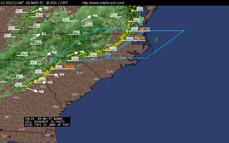 Radar Summary Shows Two Bow Echos 9:00 PM |